Mtwara Region, Administrative region in southeastern Tanzania
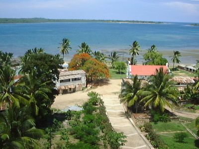
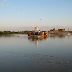
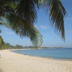
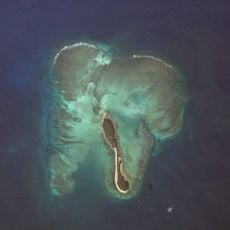
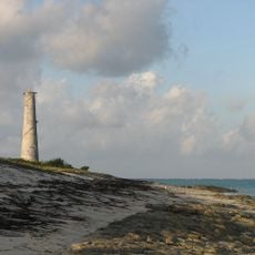
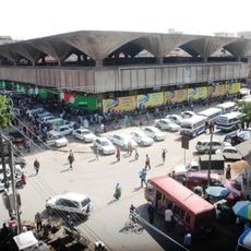
Mtwara Region is an administrative area in southeastern Tanzania that stretches from the Ruvuma River border with Mozambique to Lindi Region in the north. The area has an Indian Ocean coastline, and the capital city features a deep-water port for cargo handling.
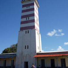
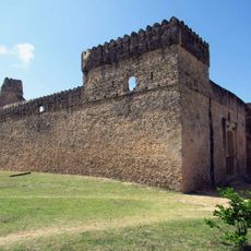
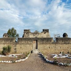
In the 1940s, the British colonial administration launched a groundnut scheme that led to the construction of major infrastructure including the port and road networks. These early projects shaped the region's development and economic foundation.
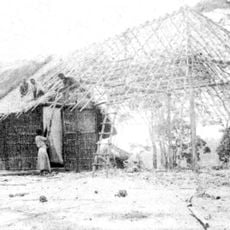
The Makonde people here maintain wood carving traditions, producing intricate sculptures and masks that represent their beliefs. You can find these handcrafted works in local markets and workshops throughout the region.
The capital city connects to Dar es Salaam through regular flights and paved roads, making travel to the region straightforward. Good road infrastructure and the port facility provide convenient access and local mobility.
The region is the country's largest producer of cashew nuts and provides a major portion of Tanzania's cashew exports. The cashew industry is a significant economic activity that shapes local agriculture.
The community of curious travelers
AroundUs brings together thousands of curated places, local tips, and hidden gems, enriched daily by 60,000 contributors worldwide.