Chest opened
+${chestReward.xp} XP
Explorer
NOUVEAU ×${chestReward.collectible.quantity}
tapez pour fermer
Chest locked

Open chests in the app

Around Us is built for your phone — chests unlock when you walk, explore and capture nearby places.

Enable Location

We need your location to show you interesting places around you

Discover nearby places

Find interesting locations and hidden gems around you

Precise directions

Get accurate directions and distances to places

Your location is never shared with other users. It's only used when you tap the location button.

Oak Park

Log in to your account

Start exploring — it's free

Trusted by 72,890 travelers worldwide

Continue with Google
Continue with Apple
or

We will send you a code to connect

By continuing, you accept our Terms and Conditions and our Privacy Policy

Check your inbox

We've sent a pincode in your inbox. Please enter the code below.

Discussion Reviews 1 Photos
38.6k Popularity

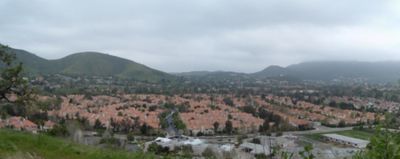
Oak Park, Census-designated residential area in Ventura County, California.

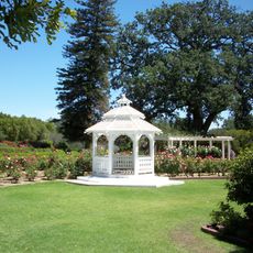
Oak Park is a residential area in the Simi Hills that combines housing with natural spaces and green areas. The community includes neighborhoods, parks, and recreational facilities that serve residents throughout the area.

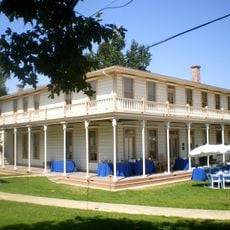
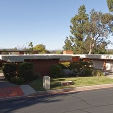
This place developed from Rancho El Conejo during the 1960s, when a development company purchased it from local landowners. That purchase transformed the area from ranchland into a planned residential community.

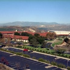
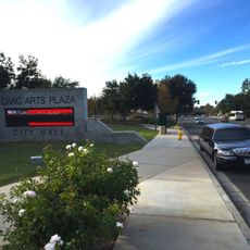
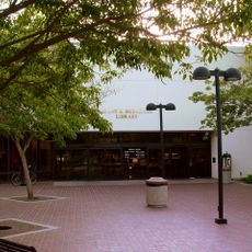
The library here works as both a school and public space, bringing together students and residents in one shared place. This partnership between the local school district and county library services creates a gathering spot that serves the whole community.

A shuttle service runs along Kanan Road on weekdays, offering transportation between this area and the neighboring town of Agoura Hills. Keep in mind that this service does not operate on holidays, so plan accordingly if you visit during those times.

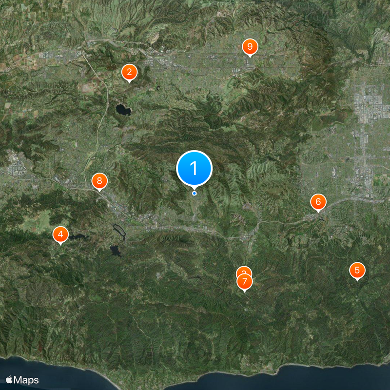
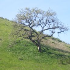
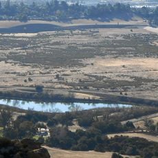
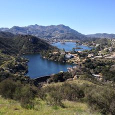
A wildlife corridor here supports more than 85 bird species, with golden eagles nesting in Chesebro Canyon alongside bobcats and coyotes. This thriving animal population may surprise visitors, as the region sits within an active residential area.

The community of curious travelers

AroundUs brings together thousands of curated places, local tips, and hidden gems, enriched daily by 60,000 contributors worldwide.

Start exploring
Location
Shares border with
Agoura Hills
GPS coordinates
34.17167,-118.75778
Latest update
December 17, 2025 09:35
Around this place
Ronald Reagan Presidential Library
United States of America

Ronald Reagan Presidential Library

11.3 km
Malibu Creek State Park
United States of America

Malibu Creek State Park

9 km
Sherwood Country Club
United States of America

Sherwood Country Club

12.5 km
Santa Monica Mountains National Recreation Area
United States of America

Santa Monica Mountains National Recreation Area

16.1 km
Leonis Adobe
United States of America

Leonis Adobe

10.9 km
Malibu Hindu Temple
United States of America

Malibu Hindu Temple

9.6 km
Jungleland USA
United States of America

Jungleland USA

8.3 km
Grandma Prisbrey's Bottle Village
United States of America

Grandma Prisbrey's Bottle Village

13 km
Upper Las Virgenes Canyon Open Space Preserve
United States of America

Upper Las Virgenes Canyon Open Space Preserve

5.3 km
Orcutt Ranch Horticulture Center
United States of America

Orcutt Ranch Horticulture Center

12 km
Thousand Oaks Civic Arts Plaza
United States of America

Thousand Oaks Civic Arts Plaza

8.3 km
Chatsworth Nature Preserve
United States of America

Chatsworth Nature Preserve

13.6 km
Stagecoach Inn
United States of America

Stagecoach Inn

14.2 km
Case Study House No. 28
United States of America

Case Study House No. 28

11.3 km
The Rock Store
United States of America

The Rock Store

7.4 km
Joel McCrea Ranch
United States of America

Joel McCrea Ranch

11.9 km
Gardens of the World
United States of America

Gardens of the World

8.4 km
Shadow Ranch
United States of America

Shadow Ranch

12.9 km
Grant R. Brimhall Library
United States of America

Grant R. Brimhall Library

8.7 km
Mount McCoy
United States of America

Mount McCoy

11 km
Sherwood Dam
United States of America

Sherwood Dam

9.8 km
Conejo Valley Botanical Garden
United States of America

Conejo Valley Botanical Garden

12 km
Banning Dam
United States of America

Banning Dam

9.6 km
Simi Adobe-Strathearn House
United States of America

Simi Adobe-Strathearn House

12.1 km
Castro Peak
United States of America

Castro Peak

9.9 km
Pederson House and Water Tower
United States of America

Pederson House and Water Tower

12.3 km
Colony House
United States of America

Colony House

12.2 km
South Malibu Canyon Road
United States of America

South Malibu Canyon Road

13.2 km
Show the full map
Reviews
Share your experience

No review yet

Discussions
Start a discussion...

No discussion yet

« Oak Park - Census-designated residential area in Ventura County, California » is provided by Around Us (aroundus.com). Images and texts are derived from Wikimedia project under a Creative Commons license. You are allowed to copy, distribute, and modify copies of this page, under the conditions set by the license, as long as this note is clearly visible.

Discover hidden gems everywhere you go!

From secret cafés to breathtaking viewpoints, skip the crowded tourist spots and find places that match your style. Our app makes it easy with voice search, smart filtering, route optimization, and insider tips from travelers worldwide. Download now for the complete mobile experience.

Around Us App Screenshot

A unique approach to discovering new places

Le Figaro

All the places worth exploring

France Info

A tailor-made excursion in just a few clicks

20 Minutes

Around Us
Travel Guide & Maps
Download

Send to your phone

QR Code
1

Open the camera app on your mobile.

2

Point at the QR code with your camera. A notification will appear.

3

Tap the notification to open the link.