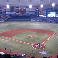
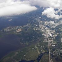
Pinellas County, County in Tampa Bay area, Florida, US
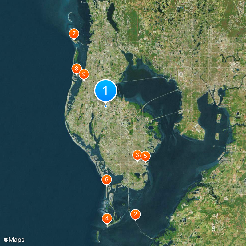
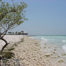
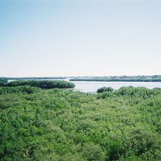
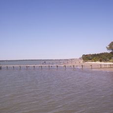
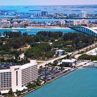
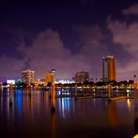
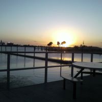
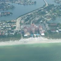
Pinellas County is an administrative region on a peninsula between Tampa Bay and the Gulf of Mexico, covering 24 municipalities including St. Petersburg and Clearwater. The eastern shore faces the protected bay, while the western side meets the open gulf with long stretches of sandy beaches.
The region split from Hillsborough County in 1911 after local residents demanded better governance and reliable road upkeep. The decision followed years of complaints about the peninsula being neglected by the previous administrative authorities.
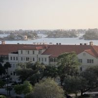
The name comes from the 16th-century Spanish explorer Álvaro Mexía de Pineda, who charted the coastline during early expeditions. Today many neighborhoods are organized around water access, with marinas for fishing boats and public beaches used by locals and guests almost daily.
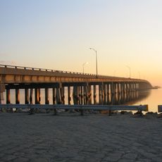
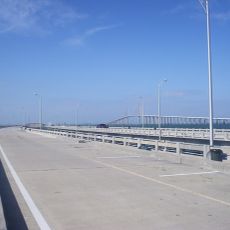
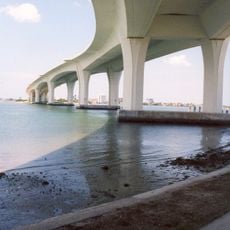
The peninsula connects to the mainland through three main bridges: Gandy Bridge, Howard Frankland Bridge, and Courtney Campbell Causeway. Each route leads to different destinations across the peninsula, so checking a map helps choose the right approach.
Fort De Soto Park spreads across five connected islands at the southern tip and holds military structures from the Spanish-American War era. Visitors can walk through the old fort ruins and see where cannons once guarded the coast.
The community of curious travelers
AroundUs brings together thousands of curated places, local tips, and hidden gems, enriched daily by 60,000 contributors worldwide.