Jacksonville

Log in to your account

AroundUs is a community-driven map of interesting places, built by curious explorers like you. It grows with every review, story, and photo you share.
Connect to save your favorite spots, contribute locations, and create personalized routes.
Continue with Google
Continue with Apple
Continue with X
Continue with Facebook
Continue with email
By continuing, you accept our Terms and Conditions and our Privacy Policy
Create an account
Add to collection
Map
Suggest a change
Share

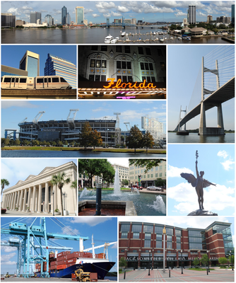
Jacksonville, Largest city by land area in Florida, US

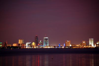
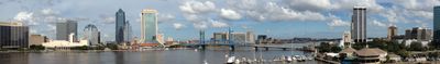
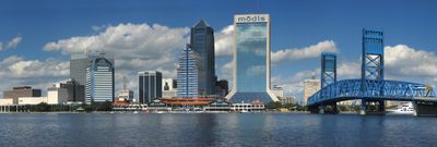
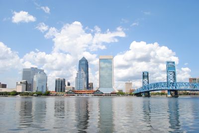
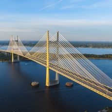
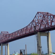
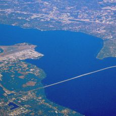
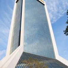
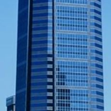
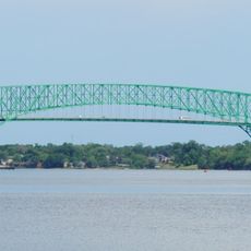
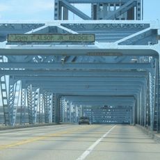
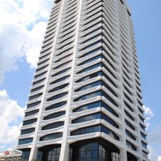
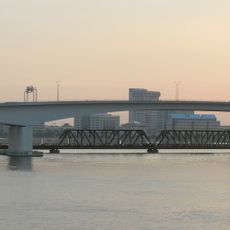
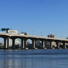
The city sits in northeast Florida where the St. Johns River winds through marshland before reaching the Atlantic Ocean, with downtown towers rising along the southern bank. Residential neighborhoods, industrial zones, and nature preserves spread across a wide territory that extends inland and along the coast.

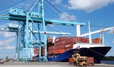
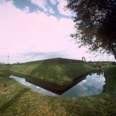
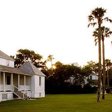
The settlement received its name in 1822 to honor Andrew Jackson, who served as the first military governor of the Florida Territory. Railroad expansion and port development in the late 1800s transformed it into a regional trade center, and consolidation with surrounding areas in the 1960s created one of the largest cities by land area in the nation.

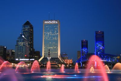
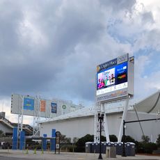
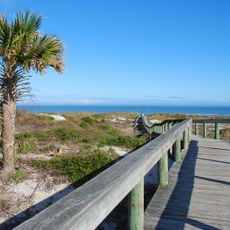
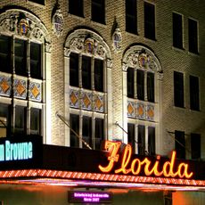
Riverside neighborhoods come alive on weekends with farmers markets, outdoor concerts, and art walks where residents gather to browse local crafts and meet neighbors over coffee. The waterfront boardwalks fill with families fishing off public piers, watching boats pass by, and children feeding gulls that circle overhead.

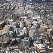
The airport sits north of downtown and handles domestic and Caribbean routes, with rental cars and shuttles available to reach different parts of the city. Beaches along the Atlantic coast are about a 30-minute drive away, and downtown areas are walkable or reachable via a free automated peoplemover.

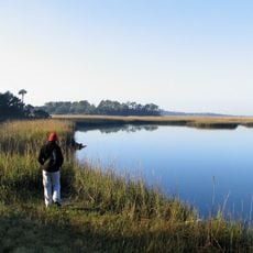
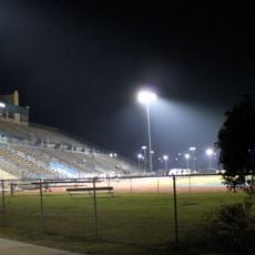
The city manages over 80,000 acres (32,000 hectares) of parkland and nature preserves, making it one of the largest urban park systems in the country. Some of these protected areas include coastal marshes and maritime forests where visitors can spot manatees, dolphins, and wading birds in their natural habitat.

Location: Duval County

Inception: 1791

Elevation above the sea: 11 m

Address: Jacksonville, FL, USA

Website: https://jacksonville.gov

GPS coordinates: 30.31667,-81.65000

Latest update: December 15, 2025 03:53

Photos
American cities by population: the 50 major metropolitan areas from New York to Arlington

This list presents the 50 most populous cities in the United States according to the official estimates from the U.S. Census Bureau as of July 2024. These metropolitan areas showcase the country's diversity in economic, cultural, and geographic aspects. From New York with 8.48 million residents, a...

Around this place
Show the full map
Reviews

Visited this place? Tap the stars to rate it and share your experience / photos with the community! Try now! You can cancel it anytime.

« Jacksonville - Largest city by land area in Florida, US » is provided by Around Us (aroundus.com). Images and texts are derived from Wikimedia project under a Creative Commons license. You are allowed to copy, distribute, and modify copies of this page, under the conditions set by the license, as long as this note is clearly visible.

Discover hidden gems everywhere you go!

From secret cafés to breathtaking viewpoints, skip the crowded tourist spots and find places that match your style. Our app makes it easy with voice search, smart filtering, route optimization, and insider tips from travelers worldwide. Download now for the complete mobile experience.

Around Us App Screenshot

A unique approach to discovering new places

Le Figaro

All the places worth exploring

France Info

A tailor-made excursion in just a few clicks

20 Minutes