Chest opened
+${chestReward.xp} XP
Explorer
NOUVEAU ×${chestReward.collectible.quantity}
tapez pour fermer
Chest locked

Open chests in the app

Around Us is built for your phone — chests unlock when you walk, explore and capture nearby places.

Enable Location

We need your location to show you interesting places around you

Discover nearby places

Find interesting locations and hidden gems around you

Precise directions

Get accurate directions and distances to places

Your location is never shared with other users. It's only used when you tap the location button.

Log in to your account

Start exploring — it's free

Trusted by 72,994 travelers worldwide

Continue with Google
Continue with Apple
or

We will send you a code to connect

By continuing, you accept our Terms and Conditions and our Privacy Policy

Check your inbox

We've sent a pincode in your inbox. Please enter the code below.

Sacramento Railyards
Discussion Reviews Photo
9.8k Popularity

Sacramento Railyards, Railroad development site in Sacramento, United States

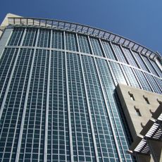
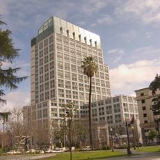
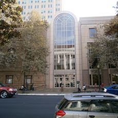
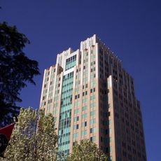
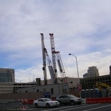
The Sacramento Railyards span a large area between the downtown business district and River District, located near where the American and Sacramento rivers meet. The site is being transformed into a new urban neighborhood with housing, office spaces, retail areas, parks, a stadium, and a medical campus.

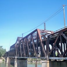
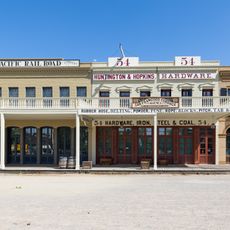
The site served as the western terminus of the First Transcontinental Railroad in 1869, where the Central Pacific line met the Union Pacific route. This connection point was crucial to railroad development and made Sacramento a major rail hub.

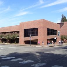
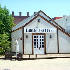
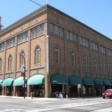
The Central Shops buildings preserve their original railroad maintenance architecture and are being transformed into public spaces, including a marketplace for community gatherings. These spaces reflect the site's industrial past while creating venues for local events and activities.

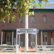
The site is easily accessible from multiple entry points around its perimeter, with parking and walkways for exploration. Visit during daytime hours when all public areas are open and community activities are most active.

The expansive railroad complex was originally built as a locomotive repair and maintenance center that regularly serviced hundreds of railroad cars. This industrial infrastructure now forms the foundation for the new urban neighborhood.

The community of curious travelers

AroundUs brings together thousands of curated places, local tips, and hidden gems, enriched daily by 60,000 contributors worldwide.

Start exploring
Location
GPS coordinates
38.58810,-121.49800
Latest update
December 10, 2025 15:56
Around this place
Old Sacramento Waterfront
United States of America

Old Sacramento Waterfront

858 m
California State Railroad Museum
United States of America

California State Railroad Museum

645 m
I Street Bridge
United States of America

I Street Bridge

747 m
Delta King
United States of America

Delta King

978 m
Ruhstaller Building
United States of America

Ruhstaller Building

913 m
United States of America

Weinstock's

843 m
Crest Theatre
United States of America

Crest Theatre

1.1 km
California State Military Museum
United States of America

California State Military Museum

944 m
U.S. Bank Tower
United States of America

U.S. Bank Tower

1.1 km
Pony Express Terminal
United States of America

Pony Express Terminal

713 m
Renaissance Tower
United States of America

Renaissance Tower

907 m
Robert T. Matsui United States Courthouse
United States of America

Robert T. Matsui United States Courthouse

516 m
Big Four Building
United States of America

Big Four Building

753 m
Eagle Theatre
United States of America

Eagle Theatre

782 m
Sacramento History Museum
United States of America

Sacramento History Museum

707 m
Sacramento Masonic Temple
United States of America

Sacramento Masonic Temple

927 m
Cal/EPA Building
United States of America

Cal/EPA Building

887 m
Federal Building
United States of America

Federal Building

731 m
Cesar E. Chavez Plaza
United States of America

Cesar E. Chavez Plaza

843 m
Sacramento City Library
United States of America

Sacramento City Library

760 m
Park Tower
United States of America

Park Tower

822 m
Towers on Capitol Mall
United States of America

Towers on Capitol Mall

1 km
J. Neely Johnson House
United States of America

J. Neely Johnson House

758 m
Mesick House
United States of America

Mesick House

438 m
United States of America

Saint Andrews African Methodist Episcopal Church

465 m
Old Sacramento Historic District
United States of America

Old Sacramento Historic District

731 m
William Coleman Memorial Fountain
United States of America

William Coleman Memorial Fountain

853 m
Alkali Flat West Historic District
United States of America

Alkali Flat West Historic District

400 m
Show the full map
Reviews
Share your experience

No review yet

Discussions
Start a discussion...

No discussion yet

« Sacramento Railyards - Railroad development site in Sacramento, United States » is provided by Around Us (aroundus.com). Images and texts are derived from Wikimedia project under a Creative Commons license. You are allowed to copy, distribute, and modify copies of this page, under the conditions set by the license, as long as this note is clearly visible.

Discover hidden gems everywhere you go!

From secret cafés to breathtaking viewpoints, skip the crowded tourist spots and find places that match your style. Our app makes it easy with voice search, smart filtering, route optimization, and insider tips from travelers worldwide. Download now for the complete mobile experience.

Around Us App Screenshot

A unique approach to discovering new places

Le Figaro

All the places worth exploring

France Info

A tailor-made excursion in just a few clicks

20 Minutes

Around Us
Travel Guide & Maps
Download

Send to your phone

QR Code
1

Open the camera app on your mobile.

2

Point at the QR code with your camera. A notification will appear.

3

Tap the notification to open the link.