Trinity County, Administrative county in California, United States.
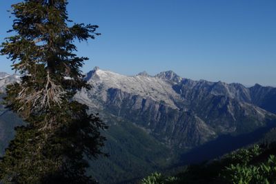
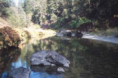
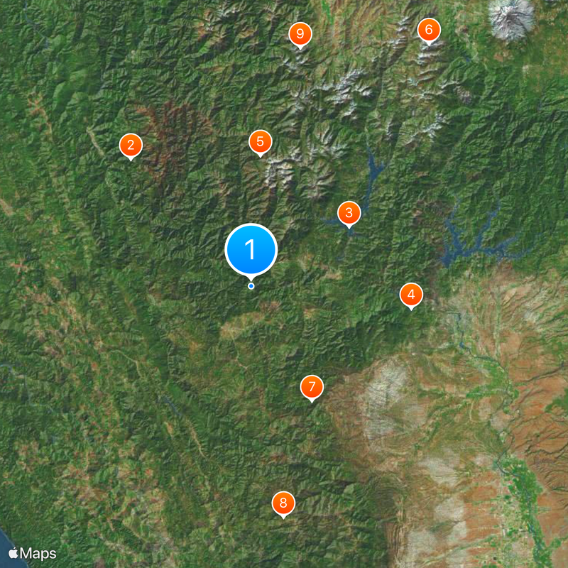
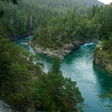
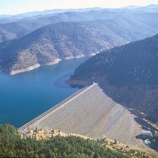
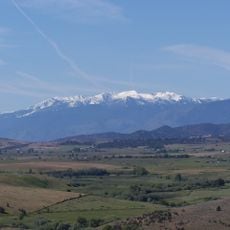
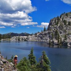
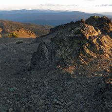
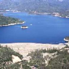
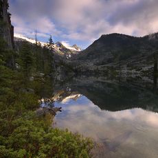
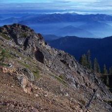
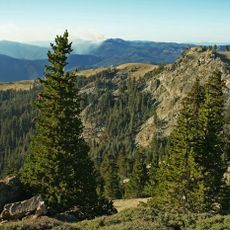
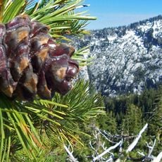
Trinity County is an administrative region in northern California with expansive mountains, dense forests, and several rivers flowing through its terrain. The area offers numerous opportunities for outdoor recreation and activities in natural settings.
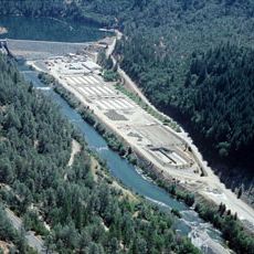
The region formed in the 1850s during the California Gold Rush, when thousands of miners arrived seeking fortune in the mineral-rich mountains. This period of growth shaped settlement patterns and the region's development for generations.
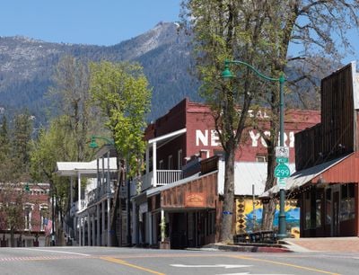
The Joss House in Weaverville stands as one of California's oldest Chinese temples, telling the story of early Asian settlers who came during the mining era. You can visit today and see how this community left its mark on the region.
The region is best explored by car, as roads wind through mountainous terrain and provide access to various locations throughout the area. Visitors should prepare for changing weather conditions, especially at higher elevations and during winter months.
The scenic byway along State Route 299 connects multiple wilderness areas and offers direct access to popular fishing spots and hiking trails. This driving route allows visitors to discover the landscape and natural highlights of the region in one journey.
The community of curious travelers
AroundUs brings together thousands of curated places, local tips, and hidden gems, enriched daily by 60,000 contributors worldwide.