Chest opened
+${chestReward.xp} XP
Explorer
NOUVEAU ×${chestReward.collectible.quantity}
tapez pour fermer
Chest locked

Open chests in the app

Around Us is built for your phone — chests unlock when you walk, explore and capture nearby places.

Enable Location

We need your location to show you interesting places around you

Discover nearby places

Find interesting locations and hidden gems around you

Precise directions

Get accurate directions and distances to places

Your location is never shared with other users. It's only used when you tap the location button.

Log in to your account

Start exploring — it's free

Trusted by 72,879 travelers worldwide

Continue with Google
Continue with Apple
or

We will send you a code to connect

By continuing, you accept our Terms and Conditions and our Privacy Policy

Check your inbox

We've sent a pincode in your inbox. Please enter the code below.

Discussion Reviews Photo
11.3k Popularity

Hayfork, Census-designated place in Trinity County, United States.

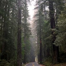
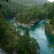
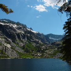
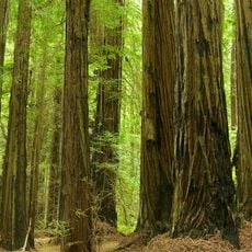
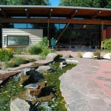
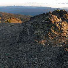
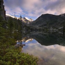
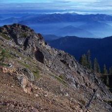
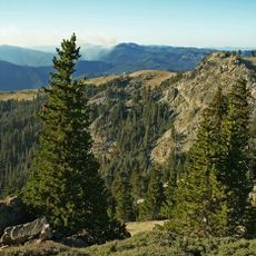
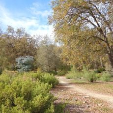
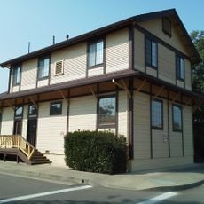
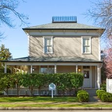
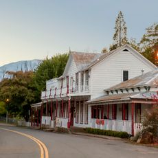
Hayfork is a small settlement in the mountains of Trinity County in northern California. The community is spread across a forested, hilly region and consists mainly of scattered houses and farms.

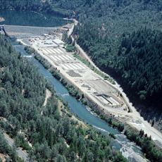
The settlement developed as a rural community in a region historically shaped by logging and farming activities. The area remained a remote mountain community for decades with limited outside connection.

The population of 2,433 residents maintains a rural lifestyle within 951 households, reflecting the characteristics of remote California mountain communities.

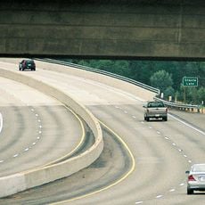
The settlement is difficult to reach and requires driving on mountain roads through sparsely populated areas. Visitors should expect basic facilities and long drives to nearby larger towns.

The area demonstrates a notably low population density of 34 people per square mile, positioning it in the lower quartile among California settlements.

The community of curious travelers

AroundUs brings together thousands of curated places, local tips, and hidden gems, enriched daily by 60,000 contributors worldwide.

Start exploring
Location
Elevation above the sea
704 m
GPS coordinates
40.57139,-123.14639
Latest update
December 8, 2025 13:41
Around this place
Shasta Lake
United States of America

Shasta Lake

68.7 km
Humboldt Redwoods State Park
United States of America

Humboldt Redwoods State Park

75.7 km
Sundial Bridge at Turtle Bay
United States of America

Sundial Bridge at Turtle Bay

65 km
Six Rivers National Forest
United States of America

Six Rivers National Forest

59.3 km
Trinity Lake
United States of America

Trinity Lake

42.6 km
Whiskeytown Lake
United States of America

Whiskeytown Lake

51.3 km
Lake Shasta Caverns
United States of America

Lake Shasta Caverns

75.7 km
Trinity Alps Wilderness
United States of America

Trinity Alps Wilderness

49.8 km
Saint Herman of Alaska Brotherhood
United States of America

Saint Herman of Alaska Brotherhood

32.6 km
Grizzly Creek Redwoods State Park
United States of America

Grizzly Creek Redwoods State Park

65 km
Yolla Bolly-Middle Eel Wilderness
United States of America

Yolla Bolly-Middle Eel Wilderness

61.9 km
Pit River Bridge
United States of America

Pit River Bridge

73 km
Turtle Bay Exploration Park
United States of America

Turtle Bay Exploration Park

65.2 km
Keswick Dam
United States of America

Keswick Dam

59.4 km
Mount Linn
United States of America

Mount Linn

64.5 km
Thompson Peak
United States of America

Thompson Peak

48.5 km
Lewiston Lake
United States of America

Lewiston Lake

34.5 km
Salmon Mountain
United States of America

Salmon Mountain

71.7 km
North Yolla Bolly Mountain
United States of America

North Yolla Bolly Mountain

44.3 km
Lower Blackburn Grade Bridge
United States of America

Lower Blackburn Grade Bridge

63.7 km
Spring Creek Reservoir
United States of America

Spring Creek Reservoir

57.2 km
The Old Arrow Tree, California
United States of America

The Old Arrow Tree, California

75.4 km
McConnell Arboretum & Botanical Gardens
United States of America

McConnell Arboretum & Botanical Gardens

64.7 km
United States of America

Signal Peak

43.5 km
Cottonwood Historic District
United States of America

Cottonwood Historic District

76.3 km
Bowerman Barn
United States of America

Bowerman Barn

48.6 km
Edward Frisbie House
United States of America

Edward Frisbie House

64.1 km
French Gulch Historic District
United States of America

French Gulch Historic District

45.4 km
Show the full map
Reviews
Share your experience

No review yet

Discussions
Start a discussion...

No discussion yet

« Hayfork - Census-designated place in Trinity County, United States » is provided by Around Us (aroundus.com). Images and texts are derived from Wikimedia project under a Creative Commons license. You are allowed to copy, distribute, and modify copies of this page, under the conditions set by the license, as long as this note is clearly visible.

Discover hidden gems everywhere you go!

From secret cafés to breathtaking viewpoints, skip the crowded tourist spots and find places that match your style. Our app makes it easy with voice search, smart filtering, route optimization, and insider tips from travelers worldwide. Download now for the complete mobile experience.

Around Us App Screenshot

A unique approach to discovering new places

Le Figaro

All the places worth exploring

France Info

A tailor-made excursion in just a few clicks

20 Minutes

Around Us
Travel Guide & Maps
Download

Send to your phone

QR Code
1

Open the camera app on your mobile.

2

Point at the QR code with your camera. A notification will appear.

3

Tap the notification to open the link.