Castle Lake, Glacial lake in Siskiyou County, United States.
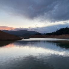
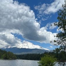
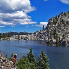
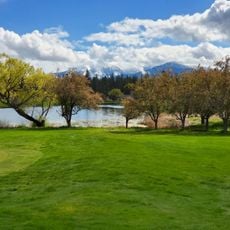
Castle Lake is a glacial cirque lake in the Trinity Mountains, west of Mount Shasta. Its 47 acres lie mostly within Shasta-Trinity National Forest. The southern shore is a granite headwall; opposite, a terminal moraine of boulders and gravel dams the lake. Depths reach 110 feet near the headwall but only 10 to 15 feet at the northeastern outlet.
Castle Lake formed during the Pleistocene, more than 10,000 years ago, when a glacier carved a cirque basin in the Trinity Mountains. The glacier left a bowl deepest at the base of the headwall, now 34 m deep, and a terminal moraine of boulders and gravel that dams the northeastern outlet. The Castle Lake Limnological Research Station, affiliated with UC Davis, now uses the site for limnology courses.
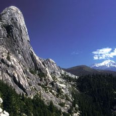
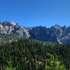
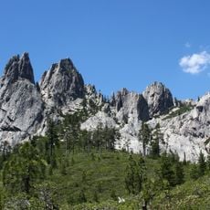
The name Castle Lake comes from the granite crags above it, which resemble a castle. The lake sits in a glacial cirque, and its outlet feeds Castle Lake Creek, part of the Sacramento River headwaters. A trail along the shore passes the Castle Lake Limnological Research Station, run with UC Davis.
The site is most accessible during the warmer months when mountain roads are clear of snow and weather conditions are stable. Bring layers and warm clothing, as the high elevation means temperatures can drop quickly even in summer.
Castle Lake is one of the most-studied mountain lakes in California: the Castle Lake Limnological Research Station, affiliated with UC Davis and run with the University of Nevada, Reno, uses the site for limnology courses. The half-mile trail along the north and west shore passes the station before ending at the granite headwall.
The community of curious travelers
AroundUs brings together thousands of curated places, local tips, and hidden gems, enriched daily by 93,044 contributors worldwide.