
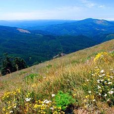
Grass Mountain, mountain in the Central Oregon Coast Range
Marys Peak
13.1 km
William L. Finley National Wildlife Refuge
28 km
Alsea Bay Bridge
31.6 km
Drift Creek Wilderness
20.7 km
Fort Hoskins
32.6 km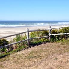
Driftwood Beach State Recreation Site
32.5 km
Beachside State Recreation Site
33.4 km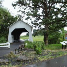
Irish Bend Covered Bridge
33.6 km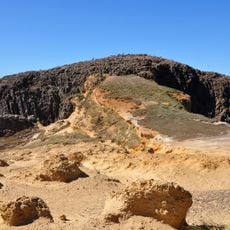
Seal Rock State Recreation Site
33.5 km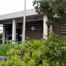
Alsea Bay Historic Interpretive Center
31.3 km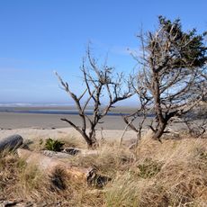
Ona Beach State Park
33.4 km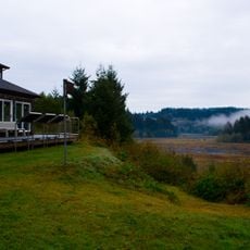
Beaver Creek State Natural Area
31.5 km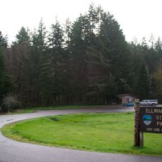
Ellmaker State Wayside
21.5 km
W. B. Nelson State Recreation Site
28.8 km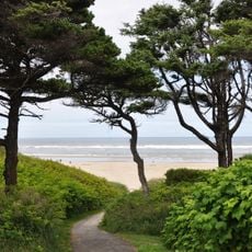
Governor Patterson Memorial State Recreation Site
32.8 km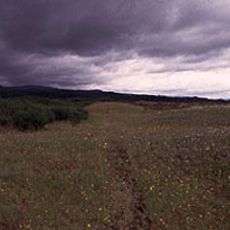
Willamette Floodplain
29.8 km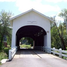
Harris Bridge
24.3 km
North Fork of the Yachats Bridge
26.8 km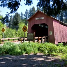
Chitwood Bridge
28.1 km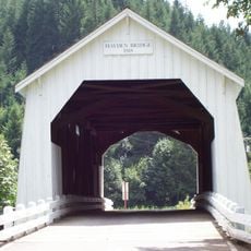
Hayden Bridge
5.7 km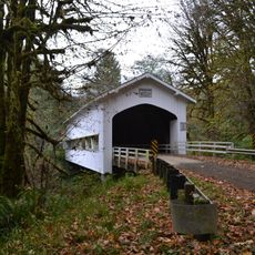
Deadwood Creek Bridge
31.5 km
Fisher School Bridge
19.9 km
Monroe State Bank Building
32.4 km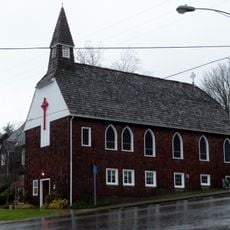
St. John's Episcopal Church
30.1 km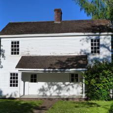
John Fiechter House
29.3 km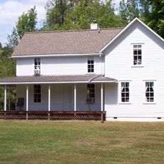
Charles King House
24.3 km
Isaac King House and Barn
33.6 km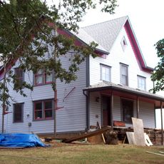
George W. Bethers House
27.2 kmReviews
Visited this place? Tap the stars to rate it and share your experience / photos with the community! Try now! You can cancel it anytime.
Discover hidden gems everywhere you go!
From secret cafés to breathtaking viewpoints, skip the crowded tourist spots and find places that match your style. Our app makes it easy with voice search, smart filtering, route optimization, and insider tips from travelers worldwide. Download now for the complete mobile experience.

A unique approach to discovering new places❞
— Le Figaro
All the places worth exploring❞
— France Info
A tailor-made excursion in just a few clicks❞
— 20 Minutes