
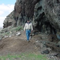
Saunders Rim, cliff in Lake County, Oregon, United States of America
Paisley Caves
36.6 km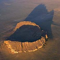
Fort Rock
77.1 km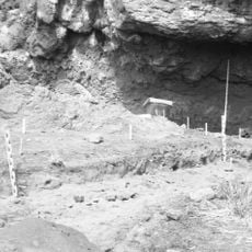
Fort Rock Cave
79.4 km
Hole-in-the-Ground
87.5 km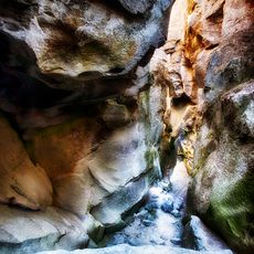
Crack in the Ground
47.8 km
Summer Lake Hot Springs
44.8 km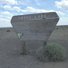
Fossil Lake
39.5 km
Lost Forest Research Natural Area
41.3 km
Hart Mountain National Antelope Refuge
71.5 km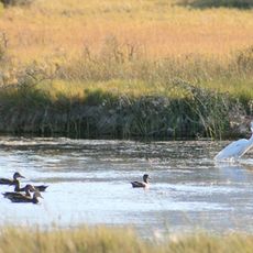
Summer Lake Wildlife Area
41.4 km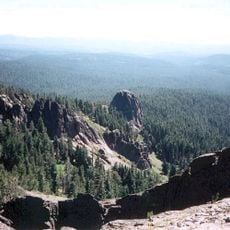
Gearhart Mountain Wilderness
74.1 km
Abert Rim
69.5 km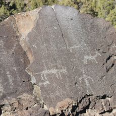
Picture Rock Pass Petroglyphs Site
43.8 km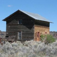
Fort Rock Valley Historical Homestead Museum
75.1 km
Camp Warner
78.1 km
Chandler State Wayside
67.4 km
Hunter's Hot Springs
88.6 km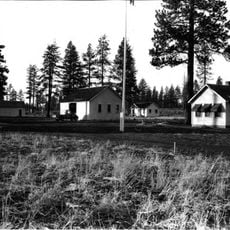
Cabin Lake Guard Station
83.7 km
Stone Bridge and the Oregon Central Military Wagon Road
81 km
Double-O Ranch Historic District
82.8 km
Chickahominy Reservoir
79.2 km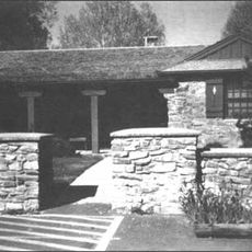
Bly Ranger Station
93.6 km
Lake County Round Sale Barn
91.3 km
John N. and Cornelia Watson House
91.9 km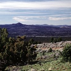
East Lava Field
64.4 km
Ed Eskelin Ranch
59 km
William P. Heryford House
92 km
Alger Theatre
92 kmReviews
Visited this place? Tap the stars to rate it and share your experience / photos with the community! Try now! You can cancel it anytime.
Discover hidden gems everywhere you go!
From secret cafés to breathtaking viewpoints, skip the crowded tourist spots and find places that match your style. Our app makes it easy with voice search, smart filtering, route optimization, and insider tips from travelers worldwide. Download now for the complete mobile experience.

A unique approach to discovering new places❞
— Le Figaro
All the places worth exploring❞
— France Info
A tailor-made excursion in just a few clicks❞
— 20 Minutes