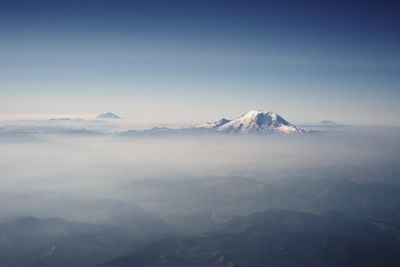
Cascade Range, Mountain range in Washington, United States.
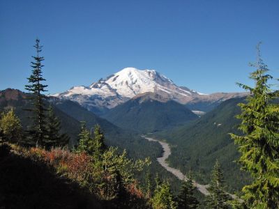
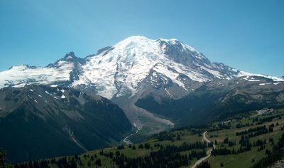
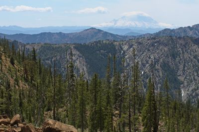
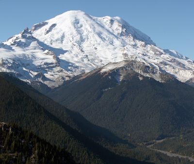
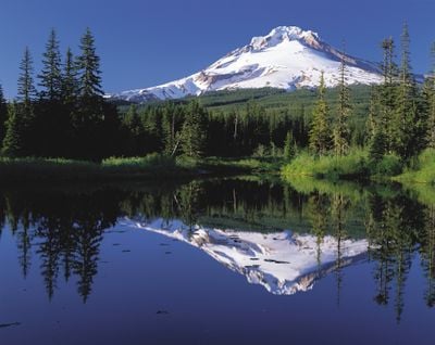
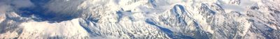
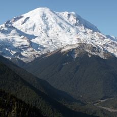
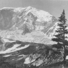
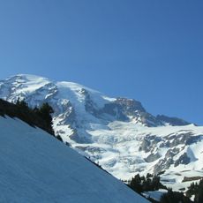
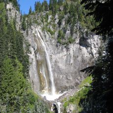
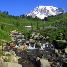
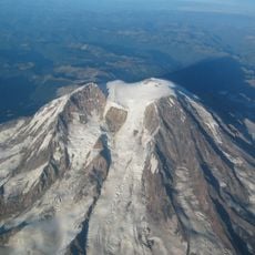
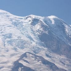
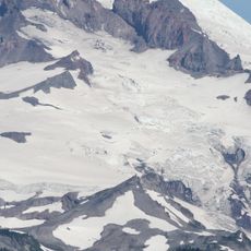
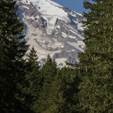
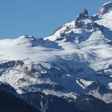
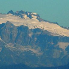
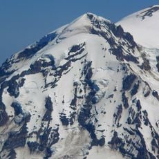
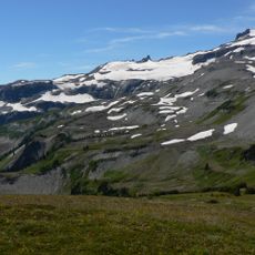
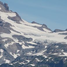
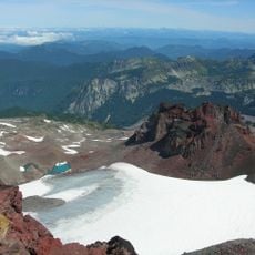
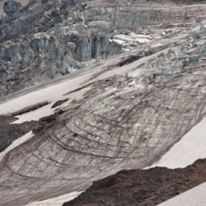
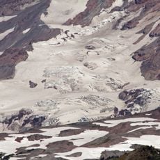
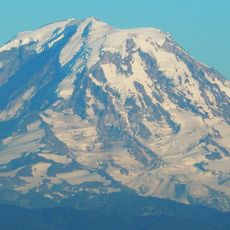
This mountain range stretches 700 miles from British Columbia to Northern California and reaches 14,411 feet (4392 meters) at its highest point. The chain consists of numerous volcanic cones, deep valleys and dense conifer forests that span several climate zones.
European explorers mapped the range in the early 19th century and named many peaks after British admirals and officers. Later geological studies identified the volcanoes as part of the Pacific Ring of Fire, formed by plate tectonics.
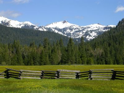
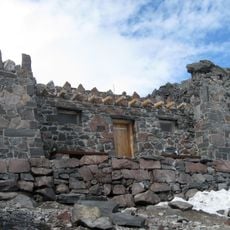
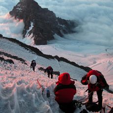
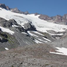
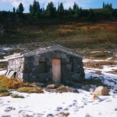
Local communities use the mountains for hiking, skiing and climbing, with many trails and cabins maintained by volunteers. Indigenous groups continue spiritual connections to certain peaks and gather traditional plants along the slopes.
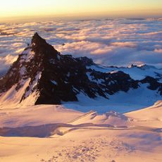
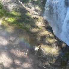
The western slope receives moisture from the Pacific and leads to heavy snowfall in winter, while the eastern side remains drier. Visitors should prepare for changing weather and bring layers of clothing depending on elevation.
Every volcanic eruption in the lower 48 states during the past two centuries happened within this range. Mount Baker holds the North American record for highest annual snowfall ever measured at a station.
The community of curious travelers
AroundUs brings together thousands of curated places, local tips, and hidden gems, enriched daily by 60,000 contributors worldwide.