
Yakima County, Administrative division in Washington State, US
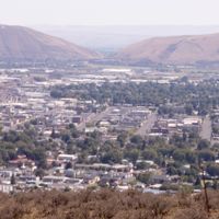
Yakima County extends across 4,300 square miles of south-central Washington State, encompassing desert areas, mountains, and agricultural lands between the Cascade Range and Columbia Basin.
The establishment of Yakima County in 1886 marked the beginning of organized governance in this region, where Native American tribes had maintained settlements for generations.
The Yakama Nation continues to influence the region through their traditions, while the agricultural community contributes to making this area a center of fruit and hop production.
The county government provides residents with electronic payment systems, well testing services, and access to legal resources through the Superior Court system.
Yakima County produces 75% of the United States hop crop, making it the primary source of this essential brewing ingredient in North America.
Location: Washington
Inception: 1865
Capital city: Yakima
Shares border with: Pierce County, Lewis County, Skamania County, Kittitas County, Klickitat County, Grant County, Benton County, King County
Website: http://yakimacounty.us
GPS coordinates: 46.46000,-120.74000
Latest update: May 27, 2025 07:06
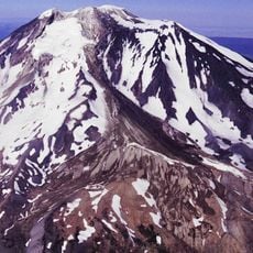
Mount Adams
64.5 km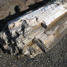
Ginkgo Petrified Forest State Park
78.3 km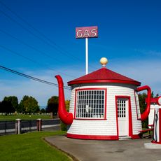
Teapot Dome Service Station
37.3 km
Iron Horse State Park
64.7 km
Goat Rocks Wilderness
55 km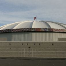
Yakima SunDome
24.1 km
Grandfather Cuts Loose the Ponies
81.9 km
Wanapum Dam
74.7 km
Priest Rapids Dam
66.8 km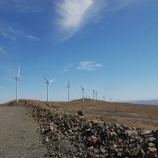
Wild Horse Wind and Solar Facility
73.9 km
Fort Simcoe
15.1 km
Whiskey Dick Mountain
73.9 km
Vantage Bridge
79.9 km
Rimrock Lake
36.9 km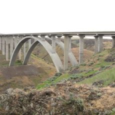
Fred G. Redmon Bridge
35.2 km
William O. Douglas Wilderness
58.4 km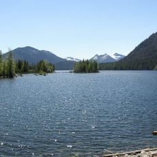
Bumping Lake
62.1 km
Mount Adams Recreation Area
62.4 km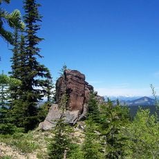
Norse Peak Wilderness
77.6 km
Olmstead Place State Park
60.4 km
Beverly Railroad Bridge
73.3 km
Priest Rapids
67.3 km
Yakima Electric Railway Museum
23.2 km
Gilbert Peak
51.3 km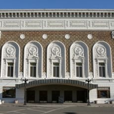
Capitol Theatre, Yakima
24.2 km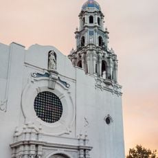
St. Paul Cathedral
22.3 km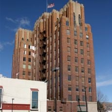
A. E. Larson Building
24 km
Adams Glacier
65.2 kmReviews
Visited this place? Tap the stars to rate it and share your experience / photos with the community! Try now! You can cancel it anytime.
Discover hidden gems everywhere you go!
From secret cafés to breathtaking viewpoints, skip the crowded tourist spots and find places that match your style. Our app makes it easy with voice search, smart filtering, route optimization, and insider tips from travelers worldwide. Download now for the complete mobile experience.

A unique approach to discovering new places❞
— Le Figaro
All the places worth exploring❞
— France Info
A tailor-made excursion in just a few clicks❞
— 20 Minutes