Chest opened
+${chestReward.xp} XP
Explorer
NOUVEAU ×${chestReward.collectible.quantity}
tapez pour fermer
Chest locked

Open chests in the app

Around Us is built for your phone — chests unlock when you walk, explore and capture nearby places.

Enable Location

We need your location to show you interesting places around you

Discover nearby places

Find interesting locations and hidden gems around you

Precise directions

Get accurate directions and distances to places

Your location is never shared with other users. It's only used when you tap the location button.

Topatopa Mountains

Log in to your account

Start exploring — it's free

Trusted by 72,953 travelers worldwide

Continue with Google
Continue with Apple
or

We will send you a code to connect

By continuing, you accept our Terms and Conditions and our Privacy Policy

Check your inbox

We've sent a pincode in your inbox. Please enter the code below.

Topatopa Mountains
Discussion Reviews 1 Photos
14.1k Popularity

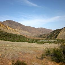
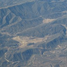
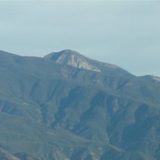
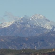
Topatopa Mountains, Mountain range in Ventura County, California.

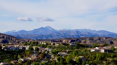
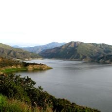
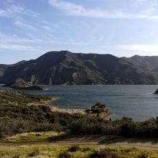
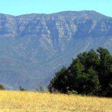
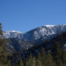
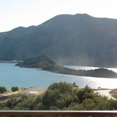
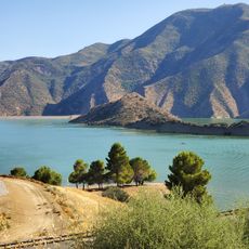
The Topatopa Mountains are a mountain range in Ventura County, southern California, with several peaks and deep canyons carved by seasonal streams. These streams drain toward the Santa Clara River, which runs along the lower edge of the range.

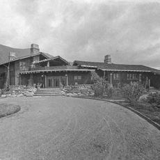
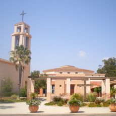
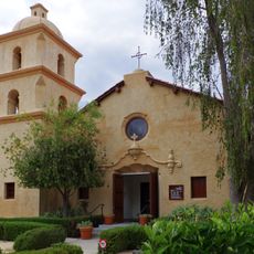
The name Topatopa appears in records from Mission San Buenaventura and was used to identify a Chumash settlement called Si-toptopo that once existed near the range. Spanish mission activity from the 18th century onward deeply changed the way of life of the people who had long lived in this area.

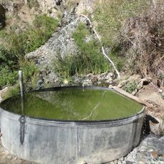
The name comes from the Chumash language and refers to reeds or rushes, plants that still grow along the streams crossing the range today. Walkers who follow these watercourses can spot the same vegetation that gave the mountains their name.

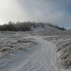
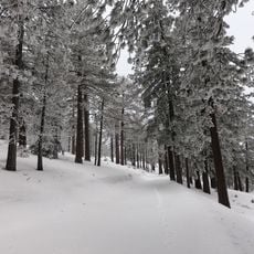
A visit between fall and spring tends to be more comfortable, as summer heat can be intense and water sources may dry up on higher trails. Good footwear and enough water are important since shade is sparse on most routes through the range.

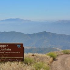
The range borders the Sespe Wilderness, one of the very few places in southern California where California condors can be spotted flying freely overhead. These birds can reach a wingspan of around 10 feet (3 meters), making them hard to miss when they glide above the ridgelines.

The community of curious travelers

AroundUs brings together thousands of curated places, local tips, and hidden gems, enriched daily by 60,000 contributors worldwide.

Start exploring
Location
GPS coordinates
34.52916,-119.04260
Latest update
March 3, 2026 08:21
Around this place
Lake Piru
United States of America

Lake Piru

27.4 km
Pyramid Lake
United States of America

Pyramid Lake

28.6 km
Mount Pinos
United States of America

Mount Pinos

32.9 km
Fillmore and Western Railway
United States of America

Fillmore and Western Railway

18.9 km
Glen Tavern Inn
United States of America

Glen Tavern Inn

19.5 km
Rancho Camulos
United States of America

Rancho Camulos

29.6 km
Sespe Wilderness
United States of America

Sespe Wilderness

7.9 km
Sespe Condor Sanctuary
United States of America

Sespe Condor Sanctuary

10.1 km
Frazier Mountain
United States of America

Frazier Mountain

28.2 km
Hopper Mountain National Wildlife Refuge
United States of America

Hopper Mountain National Wildlife Refuge

19.8 km
Union Oil Company Building
United States of America

Union Oil Company Building

19.5 km
Charles M. Pratt House
United States of America

Charles M. Pratt House

20.9 km
Bart's Books
United States of America

Bart's Books

21 km
Foster Park Bowl
United States of America

Foster Park Bowl

31.5 km
Hines Peak
United States of America

Hines Peak

3.7 km
Willett Hot Springs
United States of America

Willett Hot Springs

5.2 km
Blessed Junipero Serra Catholic Church, Camarillo
United States of America

Blessed Junipero Serra Catholic Church, Camarillo

32.5 km
San Buenaventura Mission Aqueduct
United States of America

San Buenaventura Mission Aqueduct

30.8 km
St. Thomas Aquinas Chapel
United States of America

St. Thomas Aquinas Chapel

20.9 km
Tapo Canyon
United States of America

Tapo Canyon

32.9 km
George Washington Faulkner House
United States of America

George Washington Faulkner House

23.3 km
Meher Mount
United States of America

Meher Mount

17.5 km
Sawmill Mountain
United States of America

Sawmill Mountain

33.6 km
Dudley House
United States of America

Dudley House

33.4 km
Cobblestone Mountain
United States of America

Cobblestone Mountain

18.3 km
Vista del Lago
United States of America

Vista del Lago

29.8 km
Vaquero Beach
United States of America

Vaquero Beach

29.4 km
Campus del Ventura County Community College District
United States of America

Campus del Ventura County Community College District

33 km
Show the full map
Reviews
Share your experience

No review yet

Discussions
Start a discussion...

No discussion yet

« Topatopa Mountains - Mountain range in Ventura County, California » is provided by Around Us (aroundus.com). Images and texts are derived from Wikimedia project under a Creative Commons license. You are allowed to copy, distribute, and modify copies of this page, under the conditions set by the license, as long as this note is clearly visible.

Discover hidden gems everywhere you go!

From secret cafés to breathtaking viewpoints, skip the crowded tourist spots and find places that match your style. Our app makes it easy with voice search, smart filtering, route optimization, and insider tips from travelers worldwide. Download now for the complete mobile experience.

Around Us App Screenshot

A unique approach to discovering new places

Le Figaro

All the places worth exploring

France Info

A tailor-made excursion in just a few clicks

20 Minutes

Around Us
Travel Guide & Maps
Download

Send to your phone

QR Code
1

Open the camera app on your mobile.

2

Point at the QR code with your camera. A notification will appear.

3

Tap the notification to open the link.