Chest opened
+${chestReward.xp} XP
Explorer
NOUVEAU ×${chestReward.collectible.quantity}
tapez pour fermer

See the monuments around you in AR Open chests in the app

Around Us is built for your phone — point your camera at the streets and discover the monuments and places around you in augmented reality. Around Us is built for your phone — chests unlock when you walk, explore and capture nearby places.

•

Enable Location

We need your location to show you interesting places around you

Discover nearby places

Find interesting locations and hidden gems around you

Precise directions

Get accurate directions and distances to places

Your location is never shared with other users. It's only used when you tap the location button.

Log in to your account

Start exploring — it's free

Trusted by 90,046 travelers worldwide

Continue with Google
Continue with Apple
or

We will send you a code to connect

By continuing, you accept our Terms and Conditions and our Privacy Policy

Check your inbox

We've sent a pincode in your inbox. Please enter the code below.

Area codes 760 and 442
Discussion Reviews Photo
58k Popularity

Area codes 760 and 442, Telephone area codes in Southern California, United States.

Audio guide · About one minute
Preparing your audio guide… The audio guide could not be loaded, please retry.Sign in to listen to the audio guide

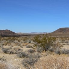
Area codes 760 and 442 apply to southeastern California and cover several counties, including Imperial, Inyo, and parts of Riverside. The territory ranges from desert regions to mountain towns, connecting remote communities with larger settlements near the Nevada and Arizona borders.

The California regulatory body introduced 760 in 1997 when the previous numbering area 619 was divided. Code 442 came later as an overlay to meet growing demand for new numbers in the same region.

The telephone codes serve diverse communities from Palm Springs to Bishop, connecting desert settlements, mountain towns, and coastal neighborhoods.

Anyone dialing within these code areas must always use all ten digits, meaning the code followed by the seven-digit number. This applies even when calling neighbors in the same town, since both codes cover the same geographic space.

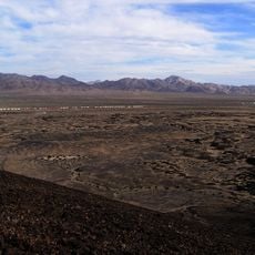
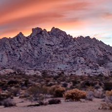
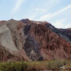
These codes serve the largest numbering territory by area in California, spanning landscapes from low basin floors to high mountain ranges. A single calling zone thus connects places with extreme elevation differences and entirely different climates.

The community of curious travelers

AroundUs brings together thousands of curated places, local tips, and hidden gems, enriched daily by 60,000 contributors worldwide.

Start exploring
Location
GPS coordinates
35.00000,-116.00000
Latest update
September 12, 2026 02:32
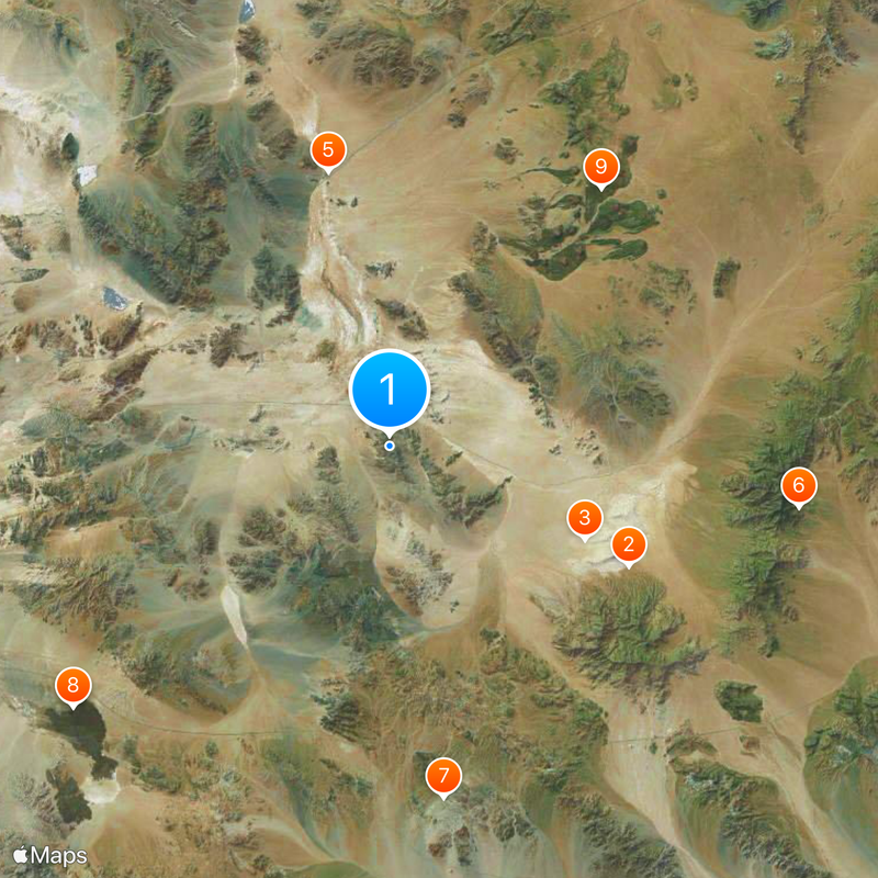
Around this place
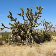
Mojave National Preserve
United States of America

Mojave National Preserve

27.2 mi
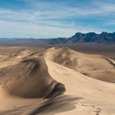
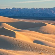
Kelso Dunes
United States of America

Kelso Dunes

14.5 mi
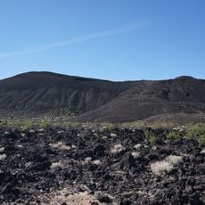
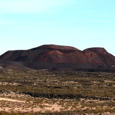
Pisgah Crater
United States of America

Pisgah Crater

27.6 mi
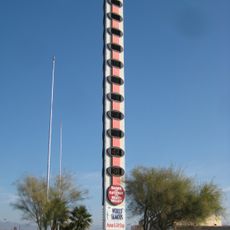
World's Tallest Thermometer
United States of America

World's Tallest Thermometer

18.9 mi
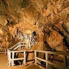
Mitchell Caverns
United States of America

Mitchell Caverns

27.8 mi
Mojave Trails National Monument
United States of America

Mojave Trails National Monument

23.9 mi
Lavic Lake volcanic field
United States of America

Lavic Lake volcanic field

27.6 mi
Cima volcanic field
United States of America

Cima volcanic field

22.3 mi
Cima Dome & Volcanic Field National Natural Landmark
United States of America

Cima Dome & Volcanic Field National Natural Landmark

22.3 mi
Providence Mountains State Recreation Area
United States of America

Providence Mountains State Recreation Area

28.1 mi
Bristol Mountains
United States of America

Bristol Mountains

10.9 mi
United States of America

Aiken's Wash

21.8 mi
United States of America

Rasor Off-Highway Vehicle Area

11.1 mi
Boulders Viewpoint Area
United States of America

Boulders Viewpoint Area

25.9 mi
United States of America

Otto mountain

20 mi
United States of America

Seventeenmile Point

15.9 mi
United States of America

Teutonia Peak

32.2 mi
United States of America

Mohave Peak

26.9 mi
United States of America

Bull Canyon

17.4 mi
United States of America

Fountain Peak

26.5 mi
Afton Canyon
United States of America

Afton Canyon

16.5 mi
United States of America

Travelers Monument

10.5 mi
United States of America

Mojave Megaphone

11.1 mi
United States of America

Scenic viewpoint

27.9 mi
United States of America

Scenic viewpoint

27.9 mi
United States of America

Granite Pass Viewpoint

25.9 mi
United States of America

Scenic viewpoint

28.1 mi
United States of America

Scenic viewpoint

27.7 mi
Show the full map
Reviews
Share your experience

No review yet

Discussions
Start a discussion...

No discussion yet

« Area codes 760 and 442 - Telephone area codes in Southern California, United States » is provided by Around Us (aroundus.com). Images and texts are derived from Wikimedia project under a Creative Commons license. You are allowed to copy, distribute, and modify copies of this page, under the conditions set by the license, as long as this note is clearly visible.

Discover hidden gems everywhere you go!

From secret cafés to breathtaking viewpoints, skip the crowded tourist spots and find places that match your style. Our app makes it easy with voice search, smart filtering, route optimization, and insider tips from travelers worldwide. Download now for the complete mobile experience.

Around Us App Screenshot
❝

A unique approach to discovering new places❞

— Le Figaro

❝

All the places worth exploring❞

— France Info

❝

A tailor-made excursion in just a few clicks❞

— 20 Minutes

Around Us
Travel Guide & Maps
Download

Send to your phone

QR Code
1

Open the camera app on your mobile.

2

Point at the QR code with your camera. A notification will appear.

3

Tap the notification to open the link.