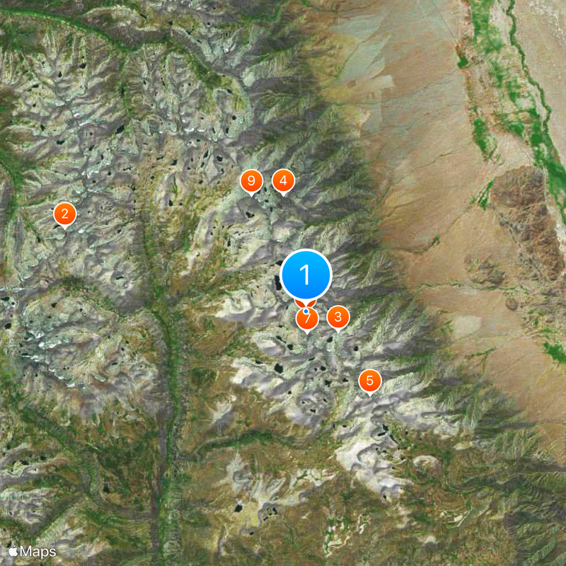
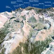
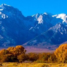
Mount Whitney, Mountain peak in Sierra Nevada, US.
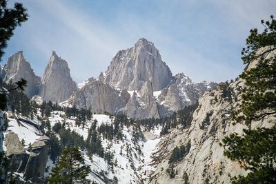
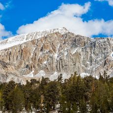
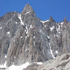
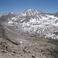
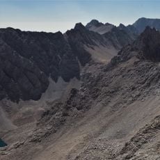
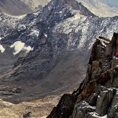
Mount Whitney reaches 14,505 feet (4,421 meters) above sea level, marking it as the tallest point in the contiguous United States, with granite formations shaping its structure. The summit forms the eastern edge of the Sierra Nevada range along the Tulare and Inyo county line, where exposed rock slabs and sharp granite walls dominate the landscape above the treeline.
The first documented climb to the summit took place on August 18, 1873, when Charles Begole, Albert Johnson, and John Lucas completed their expedition. The peak was named to honor Josiah Whitney, who worked as California's state geologist and carried out extensive surveys of the region during the 19th century.
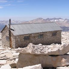
During summer months, hikers from around the world share the summit, exchanging stories about their multi-day approach or grueling single-day climb. Many visitors sign the summit register kept inside the shelter, which has become a communal memory for all who reach the highest point in the lower 48 states.
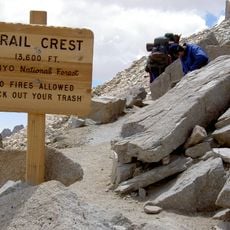
Hikers need to secure permits through a competitive lottery system, as only 100 day-hikers and 60 backpackers can access the trail daily from May through November. The elevation causes altitude sickness symptoms for many visitors, so acclimatizing gradually and being ready to turn back at the first signs of discomfort becomes important.
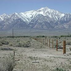
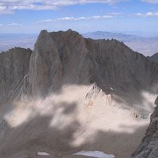
The summit shelter, built in 1909 by the Smithsonian Institution, remains as a permanent structure at the highest point in the contiguous United States. Less than 100 miles (160 kilometers) to the west sits Death Valley, the lowest point in North America, giving this region the greatest elevation difference on the continent.
The community of curious travelers
AroundUs brings together thousands of curated places, local tips, and hidden gems, enriched daily by 60,000 contributors worldwide.