Enable Location

We need your location to show you interesting places around you

Discover nearby places

Find interesting locations and hidden gems around you

Precise directions

Get accurate directions and distances to places

Your location is never shared with other users. It's only used when you tap the location button.

Lincoln County

Log in to your account

Start exploring — it's free

Trusted by 62,178 travelers worldwide

Continue with Google
Continue with Apple
or

We will send you a code to connect

By continuing, you accept our Terms and Conditions and our Privacy Policy

Check your inbox

We've sent a pincode in your inbox. Please enter the code below.

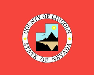
Lincoln County, County in eastern Nevada, United States.

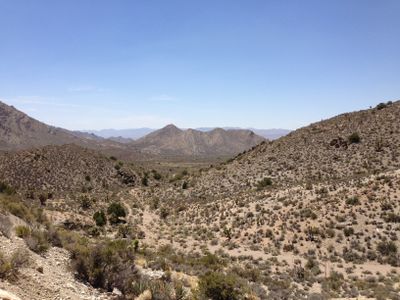
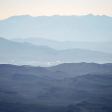
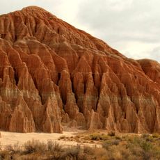
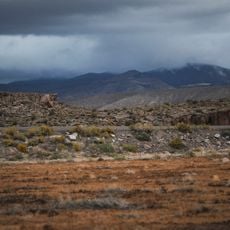
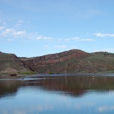
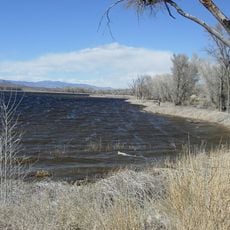
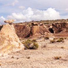
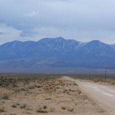
Lincoln County is a county in eastern Nevada spanning 10,637 square miles of thinly populated desert landscapes mixed with mountain ranges. The region sits far from major cities and is crossed by long, straight highways running between small towns and wide valleys.

The county formed in 1861 shortly after the Civil War began and took the name of the sitting president. In 1909, Clark County split off, making Las Vegas part of a separate jurisdiction.

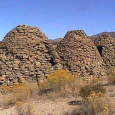
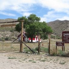
The name honors Abraham Lincoln, the American president during the Civil War, connecting the area to that period of national history. Visitors today see mostly wide ranches and small towns shaped by mining, where many residents still make a living from cattle ranching.

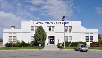
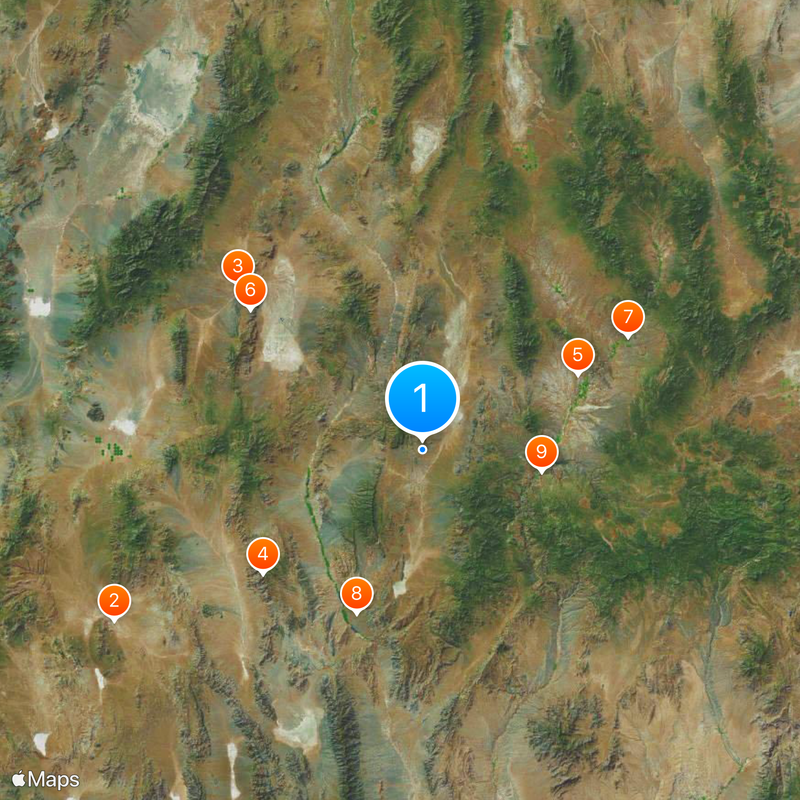
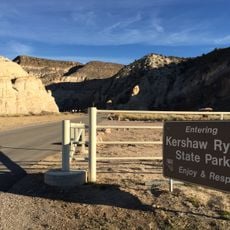
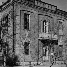
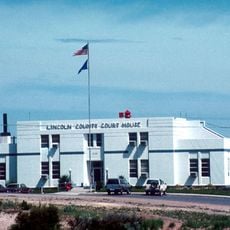
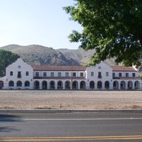
The county seat in Pioche holds government offices and provides basic services for residents and travelers passing through. Those visiting the remote wilderness areas should prepare for unpaved roads and long distances between settlements.

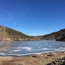
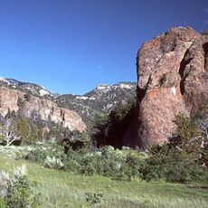
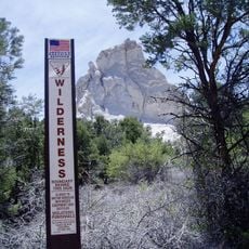
The territory holds 16 wilderness zones managed by the Bureau of Land Management, some of which remain difficult to reach. Mormon Peak stands as the highest summit and offers sweeping views over the surrounding desert on clear days.

The community of curious travelers

AroundUs brings together thousands of curated places, local tips, and hidden gems, enriched daily by 60,000 contributors worldwide.

Start exploring
Location
Inception
1861
Capital city
Pioche
Shares border with
White Pine County, Clark County, Millard County, Washington County, Nye County, Beaver County, Iron County, Mohave County
GPS coordinates
37.64000,-114.88000
Latest update
December 13, 2025 19:45
Around this place
Area 51
United States of America

Area 51

93.7 km
United States of America

City

65.4 km
Tikaboo Peak
United States of America

Tikaboo Peak

53.6 km
Cathedral Gorge State Park
United States of America

Cathedral Gorge State Park

45.6 km
Basin and Range National Monument
United States of America

Basin and Range National Monument

58.7 km
Echo Canyon State Park
United States of America

Echo Canyon State Park

62.2 km
Pahranagat National Wildlife Refuge
United States of America

Pahranagat National Wildlife Refuge

46.8 km
Kershaw–Ryan State Park
United States of America

Kershaw–Ryan State Park

32.2 km
Spring Valley State Park
United States of America

Spring Valley State Park

77.5 km
United States of America

Beaver Dam State Park

71.2 km
Lincoln County Courthouse
United States of America

Lincoln County Courthouse

49.7 km
Bristol Wells Town Site
United States of America

Bristol Wells Town Site

54.4 km
United States of America

Crystal Springs hot springs

33.5 km
Quinn Canyon Wilderness
United States of America

Quinn Canyon Wilderness

90.5 km
Clover Mountains Wilderness
United States of America

Clover Mountains Wilderness

55.4 km
Weepah Spring Wilderness
United States of America

Weepah Spring Wilderness

44.2 km
Elgin Schoolhouse State Historic Site
United States of America

Elgin Schoolhouse State Historic Site

44.2 km
United States of America

Grant Range Wilderness

87.4 km
Fortification Range Wilderness
United States of America

Fortification Range Wilderness

108.9 km
United States of America

Parsnip Peak Wilderness

74.5 km
United States of America

Far South Egans Wilderness

96.1 km
1938 Lincoln County Courthouse
United States of America

1938 Lincoln County Courthouse

50.2 km
Troy Peak
United States of America

Troy Peak

93.1 km
United States of America

Mormon Peak

81.4 km
United States of America

Shingle Peak

96.7 km
United States of America

Comet Peak

38.7 km
Gem Theatre
United States of America

Gem Theatre

49.7 km
United States of America

Rainbow Canyon

43.3 km
Show the full map
Administrative divisions
« Lincoln County - County in eastern Nevada, United States » is provided by Around Us (aroundus.com). Images and texts are derived from Wikimedia project under a Creative Commons license. You are allowed to copy, distribute, and modify copies of this page, under the conditions set by the license, as long as this note is clearly visible.

Discover hidden gems everywhere you go!

From secret cafés to breathtaking viewpoints, skip the crowded tourist spots and find places that match your style. Our app makes it easy with voice search, smart filtering, route optimization, and insider tips from travelers worldwide. Download now for the complete mobile experience.

Around Us App Screenshot

A unique approach to discovering new places

Le Figaro

All the places worth exploring

France Info

A tailor-made excursion in just a few clicks

20 Minutes

Around Us
Travel Guide & Maps
Download

Send to your phone

QR Code
1

Open the camera app on your mobile.

2

Point at the QR code with your camera. A notification will appear.

3

Tap the notification to open the link.