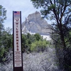
Weepah Spring Wilderness, Protected wilderness area in Lincoln County, Nevada.
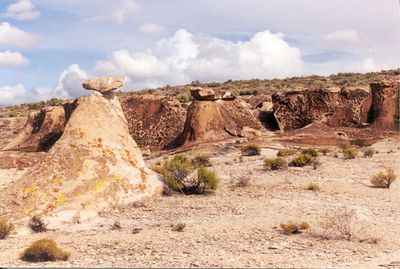
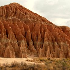
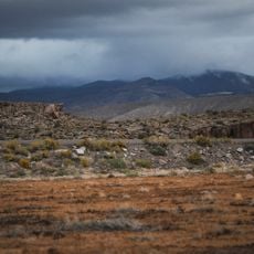
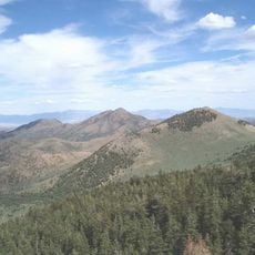
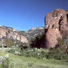
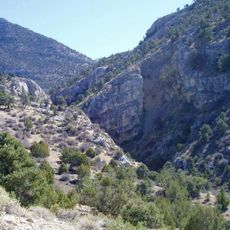
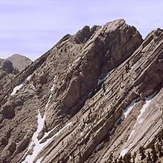
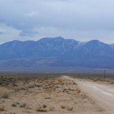
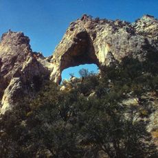
Weepah Spring Wilderness is a 51,480-acre protected area in Lincoln County featuring isolated peaks, intricate canyons, and volcanic rock formations. The landscape contains natural arches, fossil-bearing walls, and terrain rising from 4,600 to 8,605 feet (1,400 to 2,600 meters) within the Seaman Range.
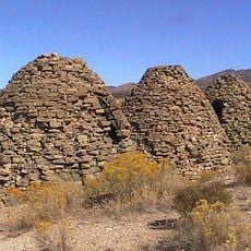
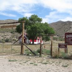
The area has been inhabited for at least 4,000 years, with evidence of early occupation found in shelter caves and hunting sites. Federal protection was established in 2004 to preserve both the geological formations and the archaeological record.
Native American peoples left petroglyphs and shelter sites throughout the landscape, showing how they adapted to this remote terrain over millennia. Walking through the canyons, visitors can find these traces and sense the long connection people had with this land.
Detailed maps and adequate water and food supplies are essential when visiting, as the terrain is remote and exposed. Temperature swings between high elevations and seasons can be extreme, so layered clothing and preparation for sudden changes are important.
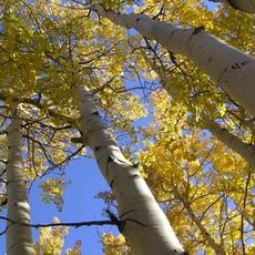
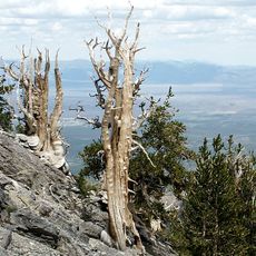
This region contains eastern Nevada's largest concentration of ponderosa pine trees, some exceeding three feet in diameter. These giants grow alongside much younger trees, creating a mix of old and new forest growth that many visitors overlook.
The community of curious travelers
AroundUs brings together thousands of curated places, local tips, and hidden gems, enriched daily by 60,000 contributors worldwide.