Chest opened
+${chestReward.xp} XP
Explorer
NOUVEAU ×${chestReward.collectible.quantity}
tapez pour fermer

See the monuments around you in AR Open chests in the app

Around Us is built for your phone — point your camera at the streets and discover the monuments and places around you in augmented reality. Around Us is built for your phone — chests unlock when you walk, explore and capture nearby places.

•

Enable Location

We need your location to show you interesting places around you

Discover nearby places

Find interesting locations and hidden gems around you

Precise directions

Get accurate directions and distances to places

Your location is never shared with other users. It's only used when you tap the location button.

Nevada State Route 375

Log in to your account

Start exploring — it's free

Trusted by 93,362 travelers worldwide

Continue with Google
Continue with Apple
or

We will send you a code to connect

By continuing, you accept our Terms and Conditions and our Privacy Policy

Check your inbox

We've sent a pincode in your inbox. Please enter the code below.

Nevada State Route 375, Desert highway in Lincoln County, United States

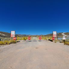
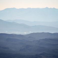
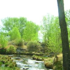
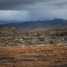
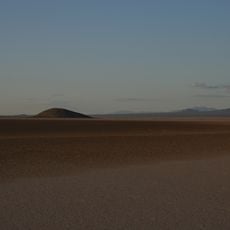
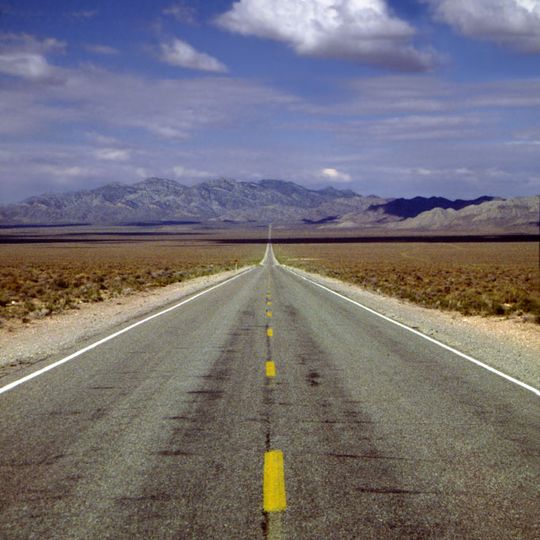
Nevada State Route 375, the Extraterrestrial Highway, is a two-lane asphalt road running 98.414 miles (158.382 km) from State Route 318 at Crystal Springs northwest to US 6 at Warm Springs in Nye and Lincoln counties. It crosses desert terrain along the northern edge of the Nellis Air Force Range, climbing Hancock Summit (5,592 ft), Coyote Summit (5,591 ft) and Queen City Summit (5,935 ft), its highest point. A green sign near the route reads "EXTRATERRESTRIAL HIGHWAY" with a flying-saucer drawing.

An unimproved road along the present alignment existed by 1932 as State Route 25A, renumbered State Route 25 in 1933. A section through the Tonopah bombing range was closed to the public by 1950, and the west end was realigned to Warm Springs by 1957. The route was fully paved by 1958 and became State Route 375 in the 1976 renumbering, first shown on the 1978 state map. The Extraterrestrial Highway name was officially adopted in February 1996.

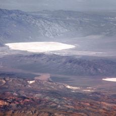
The Little A'Le'Inn in Rachel, pronounced "alien", is the town's focal point, with a small motel, an alien-themed restaurant and bar, and extraterrestrial souvenirs. The state tourism commission's 1996 renaming campaign drew on stories of Area 51 and sightings in Tikaboo Valley. The 1996 film Independence Day premiered in Rachel on 18 April 1996, attended by actors Jeff Goldblum, Robert Loggia, Bill Pullman and Brent Spiner, with a time capsule sealed until 2050.

SR 375 runs 98.4 miles between the SR 318 junction at Crystal Springs and US 6 at Warm Springs, with Rachel near the midpoint as the main stop for fuel and supplies. The two-lane road has long straight stretches and summits at Hancock (5,592 ft), Coyote (5,591 ft) and Queen City (5,935 ft). The speed limit is 70 mph, and only about 200 vehicles use the route daily.

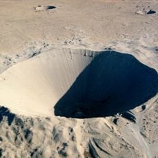
The route crosses the Alamo Breccia, a Devonian rock formation linked to a meteorite impact about 360 million years ago. Geologist John E. Warme noted that the highway threatens the site to the west, while parts to the north stay unstudied inside Area 51.

The community of curious travelers

AroundUs brings together thousands of curated places, local tips, and hidden gems, enriched daily by 93,362 contributors worldwide.

Start exploring
Location
Location
Inception
1976
GPS coordinates
37.43149,-115.37401
Latest update
October 25, 2026 07:53
Reviews
Share your experience

No review yet

Discussions
Start a discussion...

No discussion yet

« Nevada State Route 375 - Desert highway in Lincoln County, United States » is provided by Around Us (aroundus.com). Images and texts are derived from Wikimedia project under a Creative Commons license. You are allowed to copy, distribute, and modify copies of this page, under the conditions set by the license, as long as this note is clearly visible.

Discover hidden gems everywhere you go!

From secret cafés to breathtaking viewpoints, skip the crowded tourist spots and find places that match your style. Our app makes it easy with voice search, smart filtering, route optimization, and insider tips from travelers worldwide. Download now for the complete mobile experience.

Around Us App Screenshot
❝

A unique approach to discovering new places❞

— Le Figaro

❝

All the places worth exploring❞

— France Info

❝

A tailor-made excursion in just a few clicks❞

— 20 Minutes

Around Us
Travel Guide & Maps
Download

Send to your phone

QR Code
1

Open the camera app on your mobile.

2

Point at the QR code with your camera. A notification will appear.

3

Tap the notification to open the link.