Chest opened
+${chestReward.xp} XP
Explorer
NOUVEAU ×${chestReward.collectible.quantity}
tapez pour fermer
Chest locked

Open chests in the app

Around Us is built for your phone — chests unlock when you walk, explore and capture nearby places.

Enable Location

We need your location to show you interesting places around you

Discover nearby places

Find interesting locations and hidden gems around you

Precise directions

Get accurate directions and distances to places

Your location is never shared with other users. It's only used when you tap the location button.

Rachel

Log in to your account

Start exploring — it's free

Trusted by 72,874 travelers worldwide

Continue with Google
Continue with Apple
or

We will send you a code to connect

By continuing, you accept our Terms and Conditions and our Privacy Policy

Check your inbox

We've sent a pincode in your inbox. Please enter the code below.

Discussion Reviews 5 Photos
85.3k Popularity

Rachel, Census-designated place in Lincoln County, Nevada

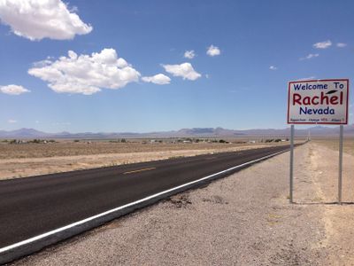
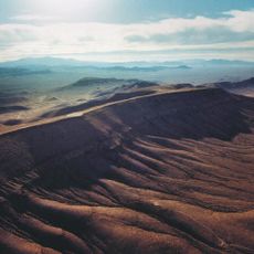
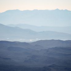
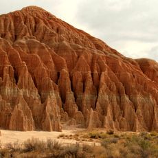
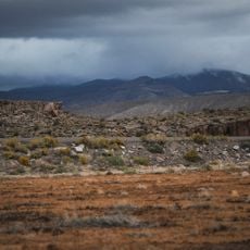
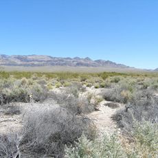
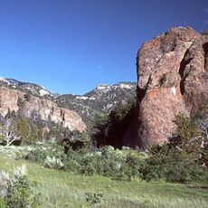
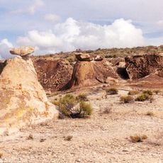
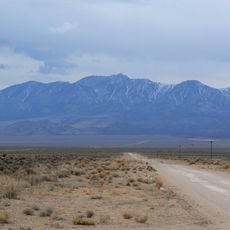
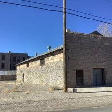
Rachel is a settlement in Lincoln County, Nevada, sitting at an elevation of 1,480 meters (4,856 feet) in the desert. The community spreads across a land area of roughly 20 square kilometers (7.6 square miles) with no notable bodies of water nearby.

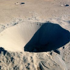
The settlement began in 1973 as Tempiute Village and later took its current name in honor of Rachel Jones, the first baby born in the valley. Proximity to military testing areas shaped the development of the community over the following decades.

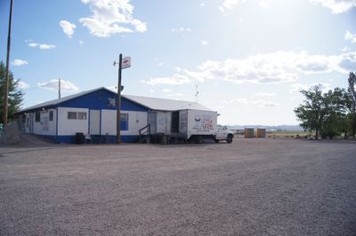
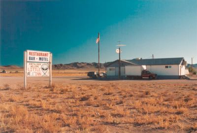
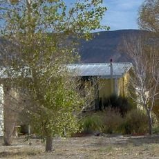
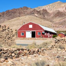
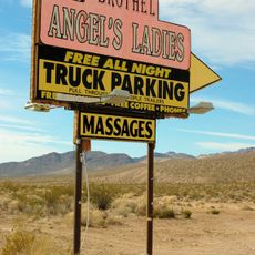
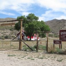
The Little A'Le'Inn serves as the local gathering spot offering food and lodging, decorated with themes of extraterrestrial life and military aircraft. Newspaper clippings about sightings and reports of unusual aerial phenomena line the walls, brought in or left behind by visitors over the years.

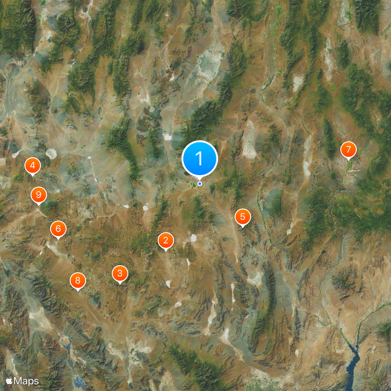
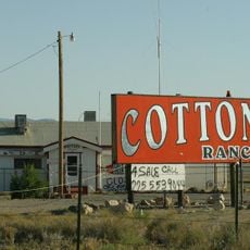
Nevada State Route 375 connects the community with other destinations across Lincoln County and serves as the main access through the desert landscape. Gas stations and supply options are limited, so carrying enough water and fuel is advisable before heading out.

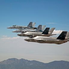
Around 48 residents live permanently in the community while aviation enthusiasts regularly pass through due to its location near the testing facilities. The state highway running through town carries the unofficial nickname Extraterrestrial Highway, marked on signs along the route.

The community of curious travelers

AroundUs brings together thousands of curated places, local tips, and hidden gems, enriched daily by 60,000 contributors worldwide.

Start exploring
Location
Inception
1996
Elevation above the sea
1,480 m
GPS coordinates
37.64667,-115.74528
Latest update
December 13, 2025 16:10
Around this place
Sedan Crater
United States of America

Sedan Crater

58.7 km
Yucca Mountain
United States of America

Yucca Mountain

100.6 km
Goldfield Hotel
United States of America

Goldfield Hotel

131.5 km
Tikaboo Peak
United States of America

Tikaboo Peak

47.9 km
Shady Lady Ranch
United States of America

Shady Lady Ranch

119.7 km
Cathedral Gorge State Park
United States of America

Cathedral Gorge State Park

118.8 km
Goldwell Open Air Museum
United States of America

Goldwell Open Air Museum

128 km
Cottontail Ranch
United States of America

Cottontail Ranch

128.1 km
Basin and Range National Monument
United States of America

Basin and Range National Monument

47.6 km
Angel's Ladies
United States of America

Angel's Ladies

117.7 km
Desert National Wildlife Range
United States of America

Desert National Wildlife Range

101.8 km
Fallon Range Training Complex
United States of America

Fallon Range Training Complex

42.1 km
Lunar Crater National Natural Landmark
United States of America

Lunar Crater National Natural Landmark

86.9 km
Pahranagat National Wildlife Refuge
United States of America

Pahranagat National Wildlife Refuge

73.6 km
Kershaw–Ryan State Park
United States of America

Kershaw–Ryan State Park

108.1 km
Lincoln County Courthouse
United States of America

Lincoln County Courthouse

118.1 km
Bristol Wells Town Site
United States of America

Bristol Wells Town Site

105.5 km
Quinn Canyon Wilderness
United States of America

Quinn Canyon Wilderness

56.3 km
Clover Mountains Wilderness
United States of America

Clover Mountains Wilderness

128.1 km
Weepah Spring Wilderness
United States of America

Weepah Spring Wilderness

70.2 km
Elgin Schoolhouse State Historic Site
United States of America

Elgin Schoolhouse State Historic Site

111.7 km
Esmeralda County Courthouse
United States of America

Esmeralda County Courthouse

131.4 km
Goldfield Historic District
United States of America

Goldfield Historic District

131.4 km
1938 Lincoln County Courthouse
United States of America

1938 Lincoln County Courthouse

118.4 km
Troy Peak
United States of America

Troy Peak

77.9 km
Gem Theatre
United States of America

Gem Theatre

118.2 km
Beatty Museum & Historical Society
United States of America

Beatty Museum & Historical Society

122.1 km
Goldfield Visitor’s Center
United States of America

Goldfield Visitor’s Center

131.7 km
Show the full map
Reviews
Share your experience

No review yet

Discussions
Start a discussion...

No discussion yet

« Rachel - Census-designated place in Lincoln County, Nevada » is provided by Around Us (aroundus.com). Images and texts are derived from Wikimedia project under a Creative Commons license. You are allowed to copy, distribute, and modify copies of this page, under the conditions set by the license, as long as this note is clearly visible.

Discover hidden gems everywhere you go!

From secret cafés to breathtaking viewpoints, skip the crowded tourist spots and find places that match your style. Our app makes it easy with voice search, smart filtering, route optimization, and insider tips from travelers worldwide. Download now for the complete mobile experience.

Around Us App Screenshot

A unique approach to discovering new places

Le Figaro

All the places worth exploring

France Info

A tailor-made excursion in just a few clicks

20 Minutes

Around Us
Travel Guide & Maps
Download

Send to your phone

QR Code
1

Open the camera app on your mobile.

2

Point at the QR code with your camera. A notification will appear.

3

Tap the notification to open the link.