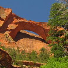
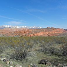
Pine Valley Mountain Wilderness, Federal wilderness area in Dixie National Forest, Utah.
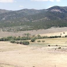
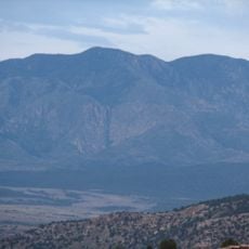
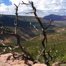
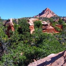
Pine Valley Mountain Wilderness is a protected area within Dixie National Forest covering roughly 50,000 acres with Signal Peak as its highest point. The landscape features a network of trails winding through forests and meadows at varying elevations throughout the region.
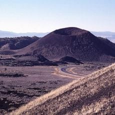
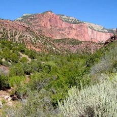
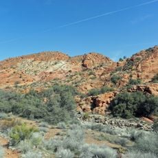
The area gained federal protection through the Utah Wilderness Act, safeguarding one of the largest laccolith formations in the United States. This geological structure shaped the region's eventual designation as a protected landscape.
The wilderness serves as a destination for visitors seeking solitude and outdoor travel without mechanized access. People come here to experience the land on foot, discovering a place where traditional hiking practices have remained unchanged for decades.
Summer through early fall offers the best conditions for visiting, as heavy snow blocks access from October through March while afternoon storms frequent the area from July to September. Multiple entry points allow visitors to choose routes matching their fitness level and available time.
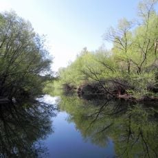
The southern section contains extensive stands of virgin Engelmann spruce forest that few visitors explore deeply, while the northern part transitions to a different mix of tree species at slightly lower elevations. This forest composition reflects how the mountain's elevation changes shape which plants thrive in each area.
The community of curious travelers
AroundUs brings together thousands of curated places, local tips, and hidden gems, enriched daily by 60,000 contributors worldwide.