
Tooele County, County in western Utah, US
Tooele County extends across 7,286 square miles of terrain with three mountain ranges: Oquirrh, Stansbury, and Cedar Mountains dividing valleys.
The county establishment occurred in 1852, following Mormon pioneers' settlement in an area previously inhabited by Goshute Native Americans.
The territory earned the name Republic of Tooele between 1874 and 1879 when non-Mormon politicians gained control of the local administration.
The Tooele School District manages education throughout the county, with Utah State University maintaining a regional campus for higher education.
The county contains 924 square kilometers of water surfaces and maintains a population density of only 3.2 inhabitants per square kilometer.
Location: Utah
Inception: 1852
Capital city: Tooele
Shares border with: Box Elder County, Weber County, Davis County, Salt Lake County, Utah County, Juab County, White Pine County, Elko County
Website: https://tooeleco.org
GPS coordinates: 40.45000,-113.18000
Latest update: May 27, 2025 08:49

Bingham Canyon Mine
87.6 km
Bonneville Speedway
69.8 km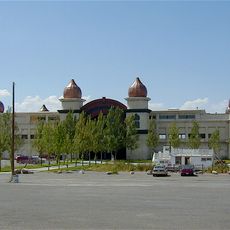
Saltair
90.1 km
Metaphor: The Tree of Utah
44.5 km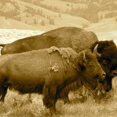
Antelope Island bison herd
99.7 km
Japanese Village
28 km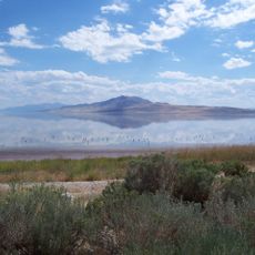
Antelope Island State Park
99.7 km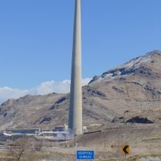
Kennecott Smokestack
88.4 km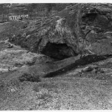
Danger Cave
78.2 km
Wendover Nugget
79.6 km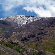
Farnsworth Peak
86 km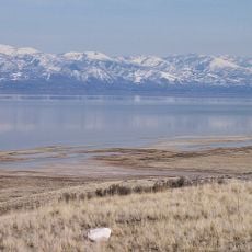
Great Salt Lake State Park
87.9 km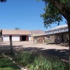
Fielding Garr Ranch
99.7 km
Deseret Peak
46.9 km
Black Rock
86.1 km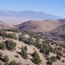
Cedar Mountain Wilderness
25 km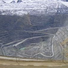
Bingham Canyon Reclamation Project
87.4 km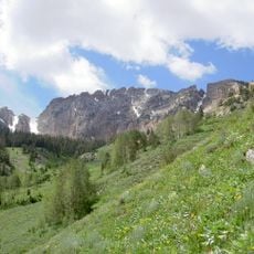
Deseret Peak Wilderness
37.9 km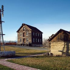
Benson Grist Mill
77.9 km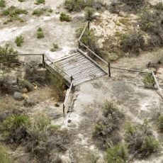
Lincoln Highway Bridge
36.9 km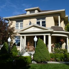
Thomas N. Taylor House
31.4 km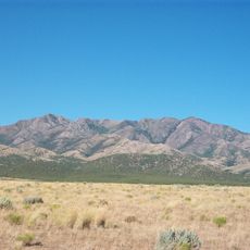
Harker Canyon (Tooele County, Utah)
79 km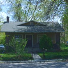
Hilda Erickson House
62.3 km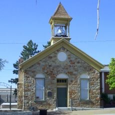
Tooele County Courthouse and City Hall
75.3 km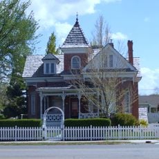
Alex and Mary Alice Johnson House
62.9 km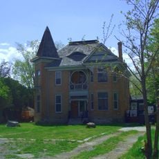
James and Penninah Wrathall House
62.4 km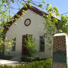
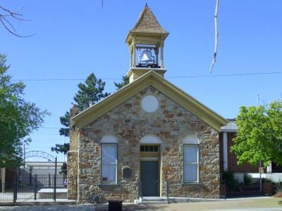
Grantsville First Ward Meetinghouse
62.2 km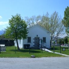
Grantsville School and Meetinghouse
62.2 kmReviews
Visited this place? Tap the stars to rate it and share your experience / photos with the community! Try now! You can cancel it anytime.

Discover hidden gems everywhere you go!
From secret cafés to breathtaking viewpoints, skip the crowded tourist spots and find places that match your style. Our app makes it easy with voice search, smart filtering, route optimization, and insider tips from travelers worldwide. Download now for the complete mobile experience.

A unique approach to discovering new places❞
— Le Figaro
All the places worth exploring❞
— France Info
A tailor-made excursion in just a few clicks❞
— 20 Minutes