
Mount Taylor Historical Marker, park in Cibola County, Albuquerque-Santa Fe-Las Vegas, NM Combined Statistical Area, United States of America
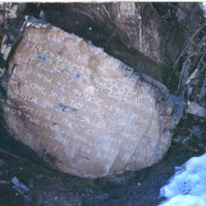
Los Lunas Decalogue Stone
75.2 km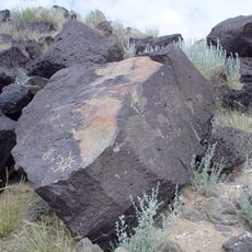
Petroglyph National Monument
77.8 km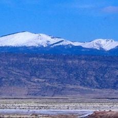
Mount Taylor
14 m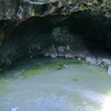
Bandera Volcano Ice Cave
51.2 km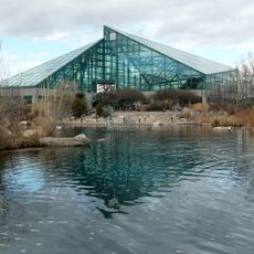
Rio Grande Botanic Garden
85.9 km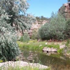
Bluewater Lake State Park
46 km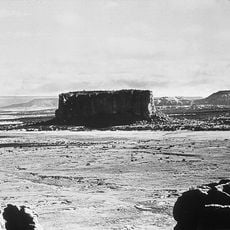
Enchanted Mesa
35.9 km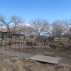
Rio Grande Nature Center State Park
85.4 km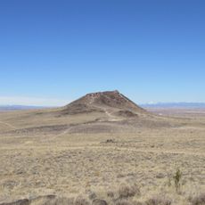
Vulcan
76.9 km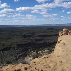
El Malpais National Conservation Area
56.6 km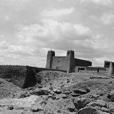
San Estevan Del Rey Mission Church
38.1 km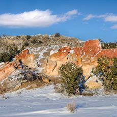
Ojito Wilderness
72.1 km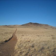
Black Volcano
77 km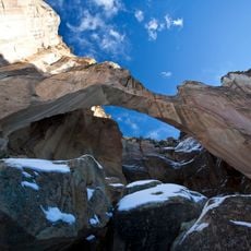
Cebolla Wilderness
61.4 km
Dion's
84.9 km
Acoma Curio Shop
17.3 km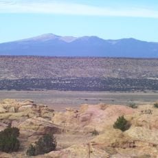
Datil-Mogollon Section
9.4 km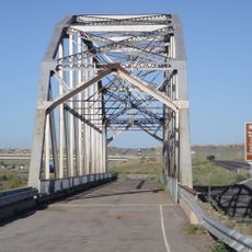
Rio Puerco Bridge
64.8 km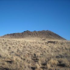
JA volcano
77.1 km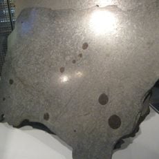
Grant meteorite
22.7 km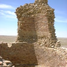
Kin Ya-ah
66.9 km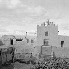
San Jose de la Laguna Mission and Convento
30.3 km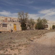
Bowlin's Old Crater Trading Post
34.7 km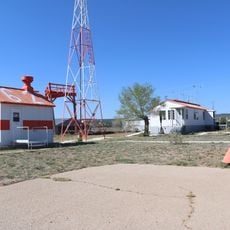
Grants-Milan Flight Service Station
27.5 km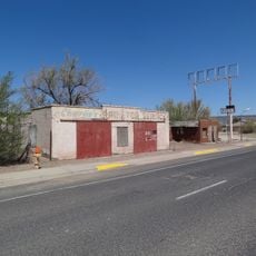
Charley's Automotive Service
25 km
Gavino Anaya House
85.5 km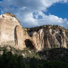
La Ventana Natural Arch
48.3 km
Esther Bone Memorial Library
85.6 kmReviews
Visited this place? Tap the stars to rate it and share your experience / photos with the community! Try now! You can cancel it anytime.
Discover hidden gems everywhere you go!
From secret cafés to breathtaking viewpoints, skip the crowded tourist spots and find places that match your style. Our app makes it easy with voice search, smart filtering, route optimization, and insider tips from travelers worldwide. Download now for the complete mobile experience.

A unique approach to discovering new places❞
— Le Figaro
All the places worth exploring❞
— France Info
A tailor-made excursion in just a few clicks❞
— 20 Minutes