Bernalillo County

Log in to your account

AroundUs is a community-driven map of interesting places, built by curious explorers like you. It grows with every review, story, and photo you share.
Connect to save your favorite spots, contribute locations, and create personalized routes.
By continuing, you accept our Terms and Conditions and our Privacy Policy
Add to collection
Map
Suggest a change
Share

Bernalillo County, Administrative division in New Mexico, US

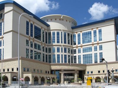
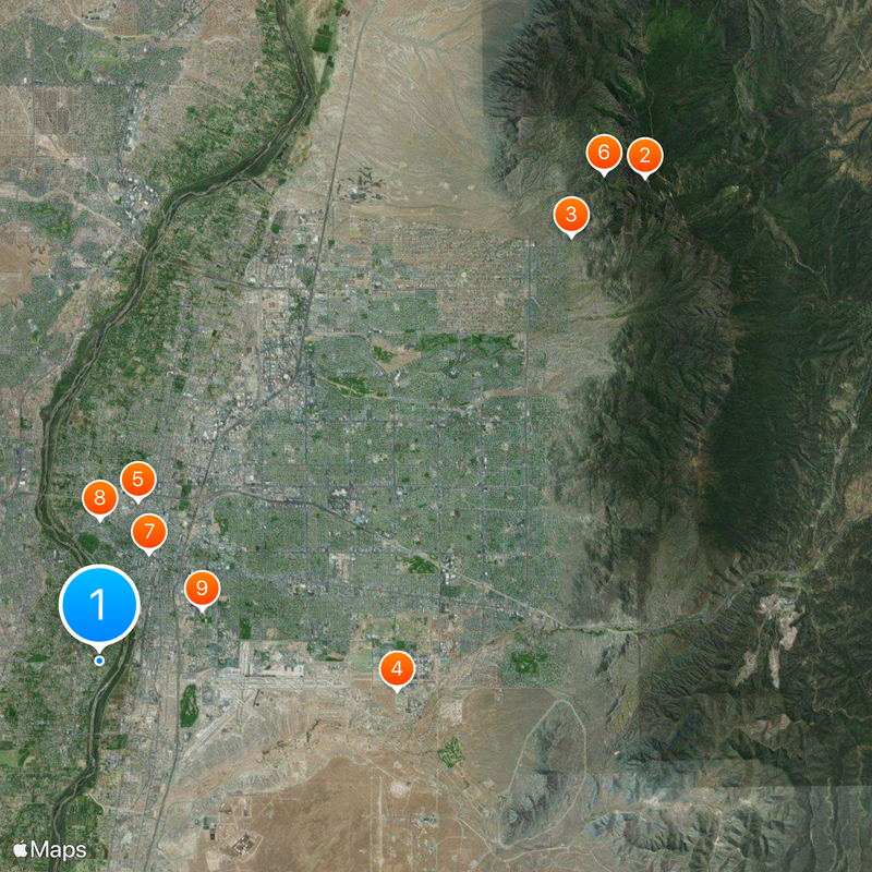
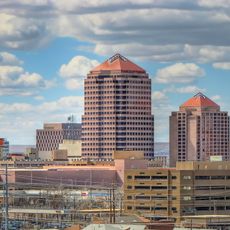
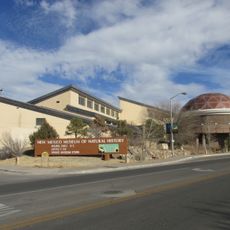
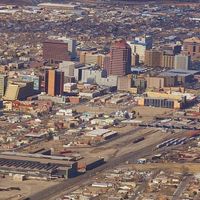
Bernalillo County is an administrative region in central New Mexico that includes varied landscapes and multiple communities ranging from urban centers to rural areas. The territory contains numerous towns and neighborhoods, with Albuquerque serving as the largest city and administrative hub surrounded by smaller settlements and natural spaces.

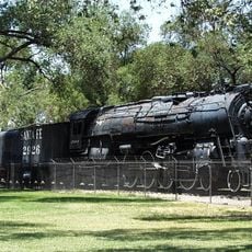
The region was established in 1852 as one of the original administrative divisions of the New Mexico Territory and quickly made Albuquerque its political center. Settlement patterns reflect centuries of occupation by Pueblo peoples, Spanish colonists, and American pioneers who left lasting marks on the land and its communities.

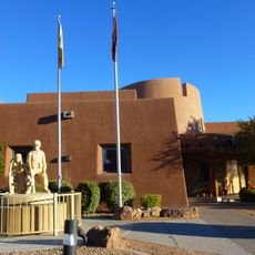
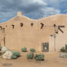
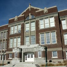
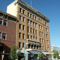
The area reflects how different communities have shaped life here through their traditions, visible in local festivals and the mix of architectural styles throughout towns and neighborhoods. Visitors notice how indigenous, Spanish, and American influences blend into the everyday character of the region.

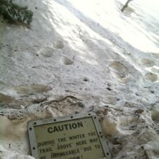
The area is large and best explored by car since public transportation between different towns and rural areas is limited. Spring and fall offer the most comfortable visiting conditions, as summer temperatures become intense and winter can bring occasional snow or icy roads.

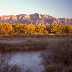
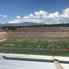
The region sits at the intersection of several significant geological features, including ancient volcanic fields and mountain ranges that create distinct ecosystems rarely found together in one area. This geological diversity makes it a special destination for those interested in natural formations and outdoor exploration.

Location: New Mexico

Inception: 1852

Capital city: Albuquerque

Part of: Albuquerque metropolitan area

Shares border with: Sandoval County, Valencia County, Torrance County, Santa Fe County, Cibola County

Website: http://bernco.gov

GPS coordinates: 35.05000,-106.67000

Latest update: December 6, 2025 21:22

Photos
Around this place
Show the full map
Sandia Mountains
United States of America

Sandia Mountains

26.8 km
Sandia Peak Tramway
United States of America

Sandia Peak Tramway

23.4 km
Petroglyph National Monument
United States of America

Petroglyph National Monument

12.7 km
Sandia Base
United States of America

Sandia Base

11 km
Atchison, Topeka and Santa Fe Railway 2926
United States of America

Atchison, Topeka and Santa Fe Railway 2926

6.1 km
La Luz Trail
United States of America

La Luz Trail

25.8 km
Albuquerque Plaza
United States of America

Albuquerque Plaza

4.4 km
Albuquerque Basin
United States of America

Albuquerque Basin

8.5 km
San Felipe de Neri Church
United States of America

San Felipe de Neri Church

5.2 km
University Stadium
United States of America

University Stadium

4.2 km
KiMo Theater
United States of America

KiMo Theater

4.2 km
New Mexico Museum of Natural History and Science
United States of America

New Mexico Museum of Natural History and Science

5.4 km
ABQ BioPark Zoo
United States of America

ABQ BioPark Zoo

3.1 km
Indian Pueblo Cultural Center
United States of America

Indian Pueblo Cultural Center

6.8 km
Wool Warehouse
United States of America

Wool Warehouse

4.8 km
Alvarado Hotel
United States of America

Alvarado Hotel

4.2 km
Congregation Albert
United States of America

Congregation Albert

12.7 km
Simms Building
United States of America

Simms Building

4 km
Rio Grande Botanic Garden
United States of America

Rio Grande Botanic Garden

4.9 km
Hyatt Regency Albuquerque
United States of America

Hyatt Regency Albuquerque

4.4 km
Tijeras Canyon
United States of America

Tijeras Canyon

26 km
Estufa
United States of America

Estufa

5.5 km
Albuquerque Museum
United States of America

Albuquerque Museum

5.3 km
Hotel Andaluz
United States of America

Hotel Andaluz

4.3 km
¡Explora! Science Center and Children's Museum
United States of America

¡Explora! Science Center and Children's Museum

5.3 km
Old Albuquerque High School
United States of America

Old Albuquerque High School

4.5 km
Sunshine Building
United States of America

Sunshine Building

4.3 km
New Mexico Rattler
United States of America

New Mexico Rattler

12.7 km
Show the full map
Reviews

Visited this place? Tap the stars to rate it and share your experience / photos with the community! Try now! You can cancel it anytime.

Administrative divisions
« Bernalillo County - Administrative division in New Mexico, US » is provided by Around Us (aroundus.com). Images and texts are derived from Wikimedia project under a Creative Commons license. You are allowed to copy, distribute, and modify copies of this page, under the conditions set by the license, as long as this note is clearly visible.

Discover hidden gems everywhere you go!

From secret cafés to breathtaking viewpoints, skip the crowded tourist spots and find places that match your style. Our app makes it easy with voice search, smart filtering, route optimization, and insider tips from travelers worldwide. Download now for the complete mobile experience.

Around Us App Screenshot

A unique approach to discovering new places

Le Figaro

All the places worth exploring

France Info

A tailor-made excursion in just a few clicks

20 Minutes