
Sweetwater County, County administrative division in Wyoming, United States
Sweetwater County covers 10,491 square miles of southwestern Wyoming, containing diverse landscapes with rivers, mountains, and extensive open terrain between Colorado and Utah borders.
The county originated in 1867 as Carter County within Dakota Territory, later renamed Sweetwater County in 1869 by the Wyoming Territory legislature.
The county preserves Native American sites, pioneer trails, and mining heritage, representing layers of Western American development throughout multiple generations.
Western Wyoming Community College in Rock Springs provides educational opportunities, while outdoor activities remain accessible through numerous parks and wildlife areas.
The territory includes most of the Great Divide Basin, where the Continental Divide splits and rejoins, creating an area where water does not drain to either ocean.
Location: Wyoming
Inception: 1867
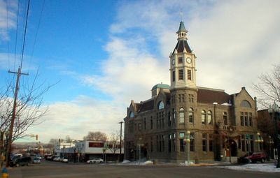
Capital city: Green River
Shares border with: Fremont County, Carbon County, Moffat County, Daggett County, Summit County, Uinta County, Lincoln County, Sublette County
Website: http://sweet.wy.us
GPS coordinates: 41.66000,-108.89000
Latest update: May 27, 2025 08:59
Flaming Gorge Reservoir
78.3 km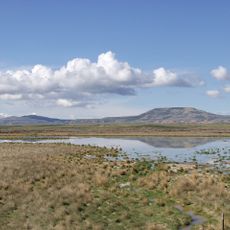
Great Divide Basin
65.2 km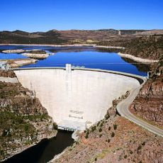
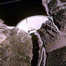
Flaming Gorge Dam
94.1 km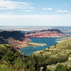
Flaming Gorge National Recreation Area
107.6 km
Sinks Canyon State Park
121.5 km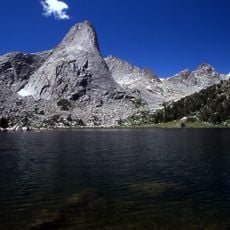
Popo Agie Wilderness
120.1 km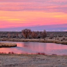
Seedskadee National Wildlife Refuge
81.6 km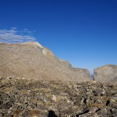
Wind River Peak
118.4 km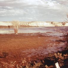
Fontenelle Reservoir
106.1 km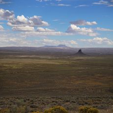
Boars Tusk
42.3 km
Expedition Island
50.7 km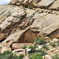
Frontier Formation
120.4 km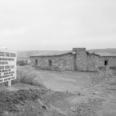
Point of Rocks Stage Station State Historic Site
8.3 km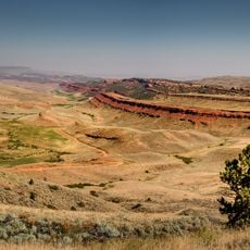
Red Canyon
114.3 km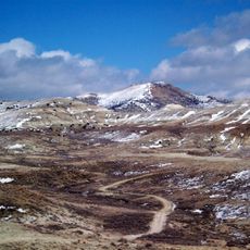
Wilkins Peak
42.2 km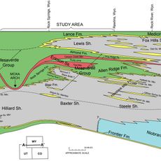
Almond Formation
28.6 km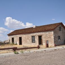
Granger Stage Station State Historic Site
90.1 km
Atlantic Peak
106.9 km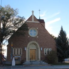
Our Lady of Sorrows Catholic Church
28.9 km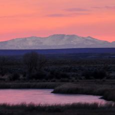
Mount Nystrom
110.3 km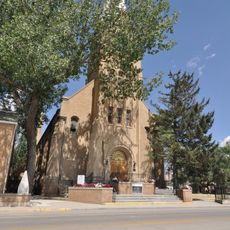
Saints Cyril and Methodius Catholic Church and Rectory
28.5 km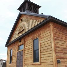
Old Ladore School
98 km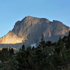
Temple Peak
117.9 km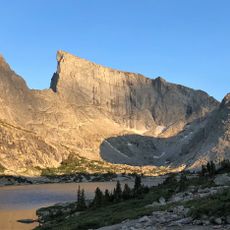
East Temple Peak
119 km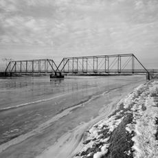
ETR Big Island Bridge
71.2 km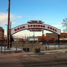
Downtown Rock Springs Historic District
28.6 km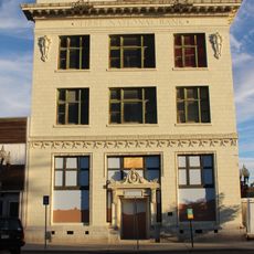
First National Bank Building
28.5 km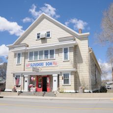
Slovenski Dom
28.6 kmReviews
Visited this place? Tap the stars to rate it and share your experience / photos with the community! Try now! You can cancel it anytime.

Discover hidden gems everywhere you go!
From secret cafés to breathtaking viewpoints, skip the crowded tourist spots and find places that match your style. Our app makes it easy with voice search, smart filtering, route optimization, and insider tips from travelers worldwide. Download now for the complete mobile experience.

A unique approach to discovering new places❞
— Le Figaro
All the places worth exploring❞
— France Info
A tailor-made excursion in just a few clicks❞
— 20 Minutes