Enable Location

We need your location to show you interesting places around you

Discover nearby places

Find interesting locations and hidden gems around you

Precise directions

Get accurate directions and distances to places

Your location is never shared with other users. It's only used when you tap the location button.

Jordan Valley

Log in to your account

Start exploring — it's free

Trusted by 62,880 travelers worldwide

Continue with Google
Continue with Apple
or

We will send you a code to connect

By continuing, you accept our Terms and Conditions and our Privacy Policy

Check your inbox

We've sent a pincode in your inbox. Please enter the code below.

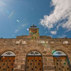
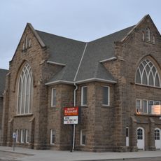
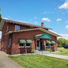
Jordan Valley, Administrative division in Oregon, United States.

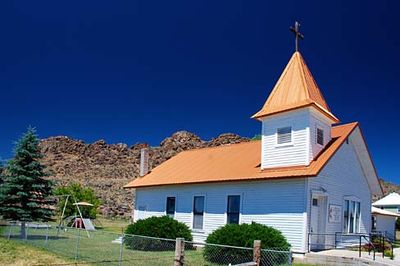
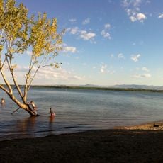
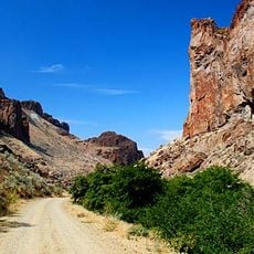
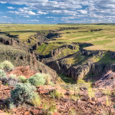
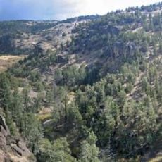
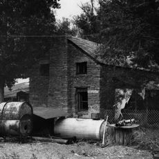
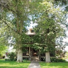
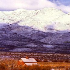
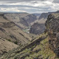
Jordan Valley is an administrative division in eastern Oregon characterized by rolling hills, sagebrush plains, and open rangeland. The landscape supports ranching as the primary economic activity across the region.

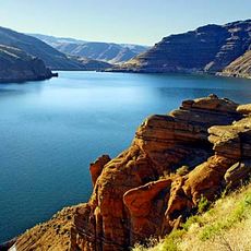
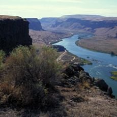
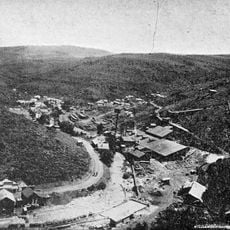
Cattle ranchers settled here in the 1800s after discovering fertile grazing lands near Snake River tributaries. This early development established ranching as the foundation of the region's economy.

Ranching traditions shape daily life here, visible in community gatherings and livestock auctions that bring people together throughout the year. These practices connect residents to their land and heritage.

The area is rural with limited services spread across small towns, so visitors should plan for longer travel times between locations. Many facilities close in the evenings, making it important to organize your day accordingly.

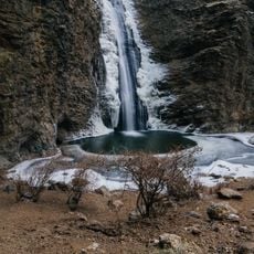
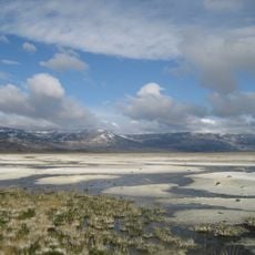
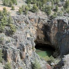
Natural hot springs emerge from volcanic formations throughout the area, staying warm year-round despite the cold mountain climate. These geothermal features surprise many visitors who don't expect to find them in this remote landscape.

The community of curious travelers

AroundUs brings together thousands of curated places, local tips, and hidden gems, enriched daily by 60,000 contributors worldwide.

Start exploring
GPS coordinates
42.97524,-117.05513
Latest update
December 7, 2025 20:50
Around this place
Jump Creek Falls
United States of America

Jump Creek Falls

56.9 km
Owyhee Reservoir
United States of America

Owyhee Reservoir

58.8 km
Morley Nelson Snake River Birds of Prey National Conservation Area
United States of America

Morley Nelson Snake River Birds of Prey National Conservation Area

77.5 km
Deer Flat National Wildlife Refuge
United States of America

Deer Flat National Wildlife Refuge

71.3 km
Northern Basin and Range ecoregion
United States of America

Northern Basin and Range ecoregion

5.3 km
Lake Owyhee State Park
United States of America

Lake Owyhee State Park

73.3 km
De Lamar, Idaho
United States of America

De Lamar, Idaho

19 km
Our Lady, Queen of Heaven Church
United States of America

Our Lady, Queen of Heaven Church

54.3 km
Succor Creek State Natural Area
United States of America

Succor Creek State Natural Area

55.1 km
Pole Creek Wilderness
United States of America

Pole Creek Wilderness

67.1 km
Little Jacks Creek Wilderness
United States of America

Little Jacks Creek Wilderness

74.3 km
North Fork Owyhee Wilderness
United States of America

North Fork Owyhee Wilderness

41.4 km
Map Rock Petroglyphs Historic District
United States of America

Map Rock Petroglyphs Historic District

57.2 km
Nampa Historic District
United States of America

Nampa Historic District

78.3 km
Farmers and Merchants Bank
United States of America

Farmers and Merchants Bank

78.3 km
Sheep Ranch Fortified House
United States of America

Sheep Ranch Fortified House

40.5 km
Owyhee County Courthouse
United States of America

Owyhee County Courthouse

49.1 km
Nampa Department Store
United States of America

Nampa Department Store

79.1 km
Nampa and Meridian Irrigation District Office
United States of America

Nampa and Meridian Irrigation District Office

78.2 km
Nampa Presbyterian Church
United States of America

Nampa Presbyterian Church

78.1 km
Jacob P. Lockman House
United States of America

Jacob P. Lockman House

78.6 km
Guffey Butte–Black Butte Archaeological District
United States of America

Guffey Butte–Black Butte Archaeological District

56.4 km
Nampa American Legion Chateau
United States of America

Nampa American Legion Chateau

78.2 km
H. Orton Wiley House
United States of America

H. Orton Wiley House

76.6 km
Noble Horse Barn
United States of America

Noble Horse Barn

36.5 km
Silver City Historic District
United States of America

Silver City Historic District

26.6 km
Nampa Train Depot
United States of America

Nampa Train Depot

78.4 km
Owyhee Canyon
United States of America

Owyhee Canyon

52.9 km
Show the full map
« Jordan Valley - Administrative division in Oregon, United States » is provided by Around Us (aroundus.com). Images and texts are derived from Wikimedia project under a Creative Commons license. You are allowed to copy, distribute, and modify copies of this page, under the conditions set by the license, as long as this note is clearly visible.

Discover hidden gems everywhere you go!

From secret cafés to breathtaking viewpoints, skip the crowded tourist spots and find places that match your style. Our app makes it easy with voice search, smart filtering, route optimization, and insider tips from travelers worldwide. Download now for the complete mobile experience.

Around Us App Screenshot

A unique approach to discovering new places

Le Figaro

All the places worth exploring

France Info

A tailor-made excursion in just a few clicks

20 Minutes

Around Us
Travel Guide & Maps
Download

Send to your phone

QR Code
1

Open the camera app on your mobile.

2

Point at the QR code with your camera. A notification will appear.

3

Tap the notification to open the link.