Columbia Plateau, Basalt plateau in Washington, US
The Columbia Plateau is a vast basalt highland extending across Washington, Oregon, and Idaho with deep canyons carved into its rock layers. It features open grasslands dotted with basalt outcrops and is bound by the Cascade Range to the west and the Rocky Mountains to the east.
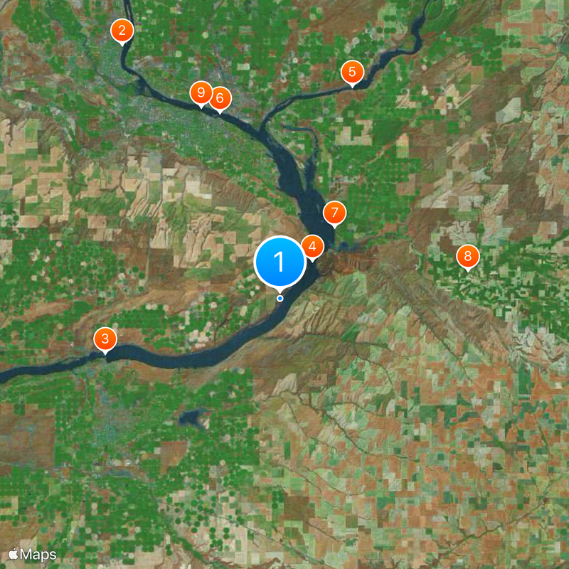
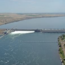
The plateau was created around 17 million years ago when massive lava flows repeatedly covered the land and solidified into thick basalt layers. These volcanic events eventually shaped the path that the Columbia River now follows through the region.
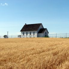
Native American nations have lived on these lands for thousands of years, and their reservations and communities remain integral to the region today. Visitors can see how these peoples have shaped the landscape through agriculture and settlement patterns that reflect deep cultural connections.
The area is large and best explored by car since attractions and natural features are spread out across the landscape. Spring and autumn offer the most comfortable conditions for visiting, as summers are hot and winters can be cold.
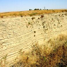
The Channeled Scablands within the plateau display deep grooves and basins that were carved by enormous ice-age floods into the rock surface. This unusual terrain stands out for revealing how water shaped the land during prehistoric times.
The community of curious travelers
AroundUs brings together thousands of curated places, local tips, and hidden gems, enriched daily by 60,000 contributors worldwide.