
Kahlotus Ridgetop Natural Area Preserve
Kahlotus Ridgetop Natural Area Preserve, natural area in Franklin County, Washington state, United States of America
Location: Washington
Location: Franklin County
Elevation above the sea: 458 m
Operator: Washington State Department of Natural Resources
Website: https://dnr.wa.gov/kahlotus-ridgetop-natural-area-preserve
GPS coordinates: 46.69500,-118.55480
Latest update: May 30, 2025 00:16
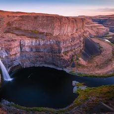
Palouse Falls
25.5 km
Mullan Road
27.8 km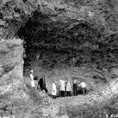
Marmes Rockshelter
28.4 km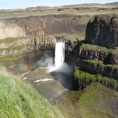
Palouse Falls State Park
25.5 km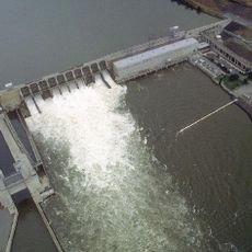
Ice Harbor Dam
55.5 km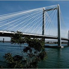
Cable Bridge
67.7 km
Potholes Reservoir
64.6 km
Drumheller Channels National Natural Landmark
57.9 km
Columbia Plateau State Park Trail
5.6 km
Abraham Lincoln
41 km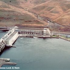
Little Goose Dam
42.1 km
Sacajawea State Park
66.5 km
Juniper Dunes Wilderness
40.9 km
Lower Monumental Dam
14.8 km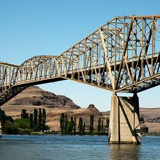
Snake River Bridge
28.2 km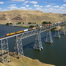
Joso High Bridge
27.4 km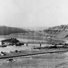
Riparia Bridge
37.9 km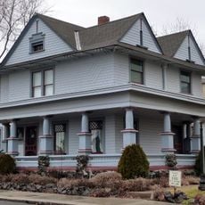
Dr. Frank R. Burroughs House
49.6 km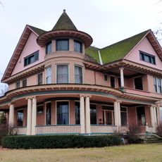
Nelson H. Greene House
49.6 km
Ritzville Historic District
49.9 km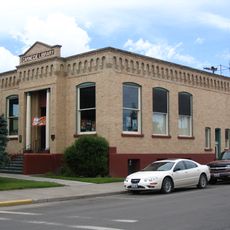
Ritzville Carnegie Library
49.7 km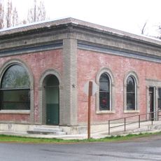
Bank of Starbuck
38.2 km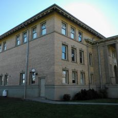
Preston Hall
56.8 km
Lyons Ferry State Park
27.5 km
Skydive West Plains
55.6 km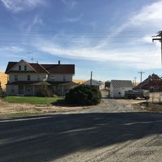
Seivers Brothers Ranchhouse and Barn
24.5 km
Franklin County Courthouse
65.7 km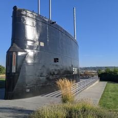
USS Triton Submarine
67 kmReviews
Visited this place? Tap the stars to rate it and share your experience / photos with the community! Try now! You can cancel it anytime.
Discover hidden gems everywhere you go!
From secret cafés to breathtaking viewpoints, skip the crowded tourist spots and find places that match your style. Our app makes it easy with voice search, smart filtering, route optimization, and insider tips from travelers worldwide. Download now for the complete mobile experience.

A unique approach to discovering new places❞
— Le Figaro
All the places worth exploring❞
— France Info
A tailor-made excursion in just a few clicks❞
— 20 Minutes