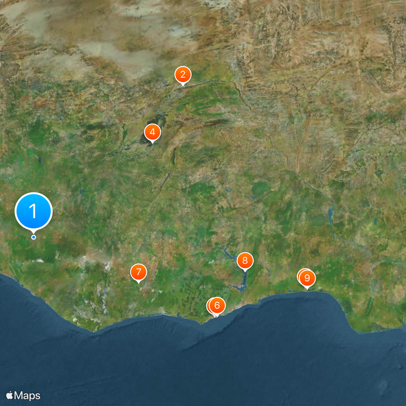
Niger River, Principal waterway in Fouta Djallon highlands, Guinea.
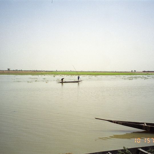
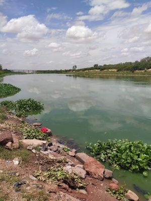
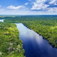
The Niger flows in a northern direction through Guinea before turning northeast, forming channels, wetlands, and fertile floodplains along its route. Its path through the Fouta Djallon highlands shapes the region with wide sections and smaller tributaries.
In medieval times, the waterway connected major West African kingdoms and enabled the transport of gold and salt across long distances. Trade routes along its banks became important arteries between different realms.
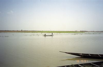
Communities along its banks have shaped their way of life around the cycle of dry season and flood. Fishermen use different nets depending on the season and water level, while farmers plant rice in the flooded areas.
The best access points are in villages along the waterway, where local boats often dock and fishermen set their nets. Visitors should plan to be there in the early morning or late afternoon, when activity around the water is at its highest.
In the inner delta, the waterway splits into many smaller branches and forms wide wetlands, where large amounts of water are lost through evaporation. This section looks completely different during the rainy season compared to the dry season, when many channels almost dry up completely.
The community of curious travelers
AroundUs brings together thousands of curated places, local tips, and hidden gems, enriched daily by 60,000 contributors worldwide.
