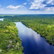
Niger River, Principal waterway in Fouta Djallon highlands, Guinea.
The Niger flows in a northern direction through Guinea before turning northeast, forming channels, wetlands, and fertile floodplains along its route. Its path through the Fouta Djallon highlands shapes the region with wide sections and smaller tributaries.
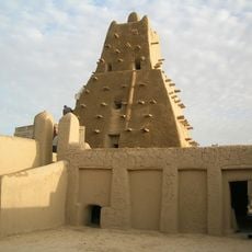
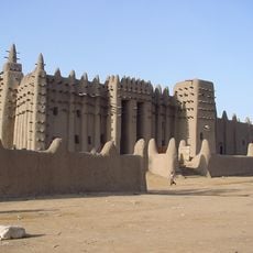
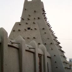
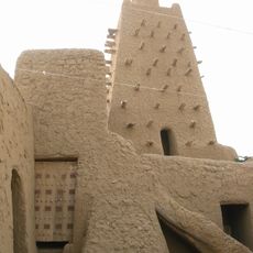
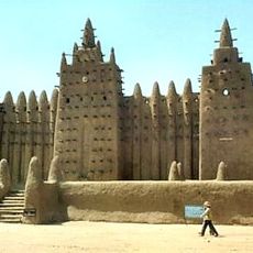
In medieval times, the waterway connected major West African kingdoms and enabled the transport of gold and salt across long distances. Trade routes along its banks became important arteries between different realms.
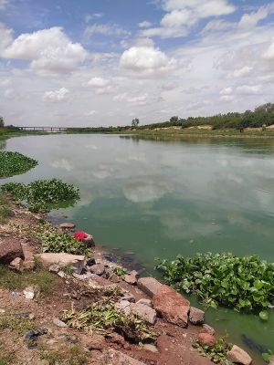
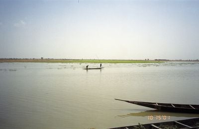
Communities along its banks have shaped their way of life around the cycle of dry season and flood. Fishermen use different nets depending on the season and water level, while farmers plant rice in the flooded areas.
The best access points are in villages along the waterway, where local boats often dock and fishermen set their nets. Visitors should plan to be there in the early morning or late afternoon, when activity around the water is at its highest.
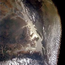
In the inner delta, the waterway splits into many smaller branches and forms wide wetlands, where large amounts of water are lost through evaporation. This section looks completely different during the rainy season compared to the dry season, when many channels almost dry up completely.
Location: Niger
Location: Sissala East Municipal District
Elevation above the sea: 200 m
Address: Niger
GPS coordinates: 9.09722,-10.68278
Latest update: December 4, 2025 14:21
The major rivers of the planet cross continents and countries, creating essential river networks. The Amazon stretches 6,992 kilometers, the Nile covers 6,852 kilometers, while the Yangtze River measures 6,300 kilometers. These waterways shape landscapes, sustain agriculture, and enable transportation. Each river has distinct geographical features, from the Mississippi Delta to the Congo rapids.
Timbuktu
1193.2 km
Murtala Muhammed International Airport
1569.4 km
Great Mosque of Djenné
856.1 km
Elmina Castle
1123.6 km
Cape Coast Castle
1133.5 km
Basilica of Our Lady of Peace of Yamoussoukro
646 km
Third Mainland Bridge
1579.8 km
Akosombo Dam
1225.1 km
Sankore Madrasah
1193 km
South South
1959.3 km
Djinguereber Mosque
1192.3 km
Osu Castle
1224.6 km
Kakum National Park
1108.1 km
Second Niger bridge
1952 km
Felix Houphouet Boigny Stadium
847.1 km
Monument Amazone
1475.8 km
The Flagstaff House
1222.8 km
River Niger Bridge
1952.2 km
Olumo Rock
1560.3 km
Forts and Castles, Volta, Greater Accra, Central and Western Regions
1133.6 km
Larabanga Mosque
969 km
Ghana Stock Exchange
1222.3 km
Sungbo's Eredo
1625.3 km
Lekki Conservation Centre
1595.8 km
Alassane Ouattara Stadium
833.2 km
Djenné-Djenno
856.3 km
Mole National Park
974.2 km
Manhyia Palace
1034.6 kmVisited this place? Tap the stars to rate it and share your experience / photos with the community! Try now! You can cancel it anytime.
Discover hidden gems everywhere you go!
From secret cafés to breathtaking viewpoints, skip the crowded tourist spots and find places that match your style. Our app makes it easy with voice search, smart filtering, route optimization, and insider tips from travelers worldwide. Download now for the complete mobile experience.
A unique approach to discovering new places❞
— Le Figaro
All the places worth exploring❞
— France Info
A tailor-made excursion in just a few clicks❞
— 20 Minutes