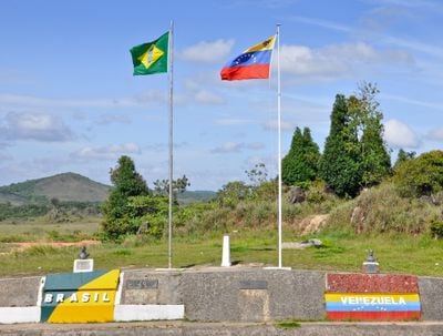
Brazil–Venezuela border, International boundary in northern South America.
The border between Brazil and Venezuela runs for roughly 2200 kilometers through thick rainforest and mountain chains in the northern part of South America. The line follows natural features such as rivers in some sections and crosses remote plateaus with sparse settlement.
The Treaty of Limits and River Navigation in 1859 set the boundary line between both countries and ended earlier territorial uncertainties. Later agreements refined the course through difficult forest terrain and mountain areas.
Indigenous peoples have inhabited the borderlands for centuries and continue to move between both countries following traditional routes. The Pemon and Yanomami maintain their languages and customs in remote villages along the river valleys.
The only road crossing links Pacaraima to Santa Elena de Uairén via Federal Highway BR-174 and serves as the main route for travelers. Beyond this road there are few developed paths through the extended border region.
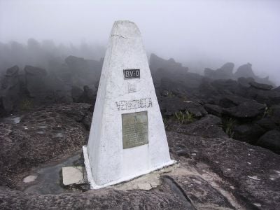
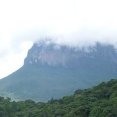
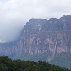
Mount Roraima marks the point where three nations meet and rises with steep rock walls above the surrounding landscape. The tabletop summit hosts plant species that grow only on this peak.
The community of curious travelers
AroundUs brings together thousands of curated places, local tips, and hidden gems, enriched daily by 60,000 contributors worldwide.