Enable Location

We need your location to show you interesting places around you

Discover nearby places

Find interesting locations and hidden gems around you

Precise directions

Get accurate directions and distances to places

Your location is never shared with other users. It's only used when you tap the location button.

Guainía Department

Log in to your account

Start exploring — it's free

Trusted by 62,623 travelers worldwide

Continue with Google
Continue with Apple
or

We will send you a code to connect

By continuing, you accept our Terms and Conditions and our Privacy Policy

Check your inbox

We've sent a pincode in your inbox. Please enter the code below.

Guainía Department, Administrative department in eastern Colombia

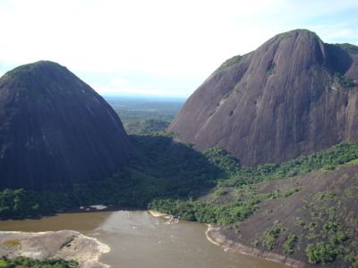
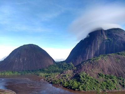
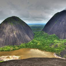
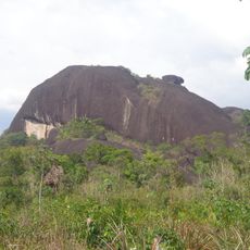
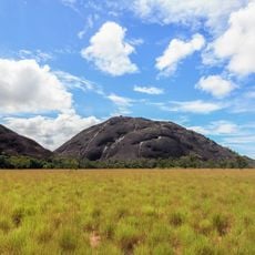
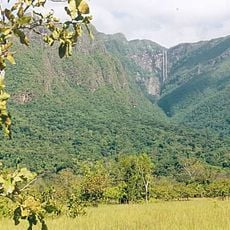
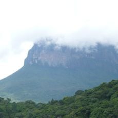
Guainía Department is an administrative territory in eastern Colombia that stretches between the Orinoco and Amazon river basins and covers more than 72,000 square kilometers (about 28,000 square miles). The area consists mostly of dense tropical forest and is crossed by numerous rivers that wind through the flat terrain and connect with one another.

The Colombian government created this department on July 4, 1991, separating it from the existing administrative structure of Vaupés. Before this division, the area was part of a larger administrative territory governed from distant capitals.

The name comes from the Guainía River, which flows through the territory and forms the border with Venezuela. Local communities live mainly in small settlements along the waterways and maintain traditional ways of life closely tied to the river and the forest.

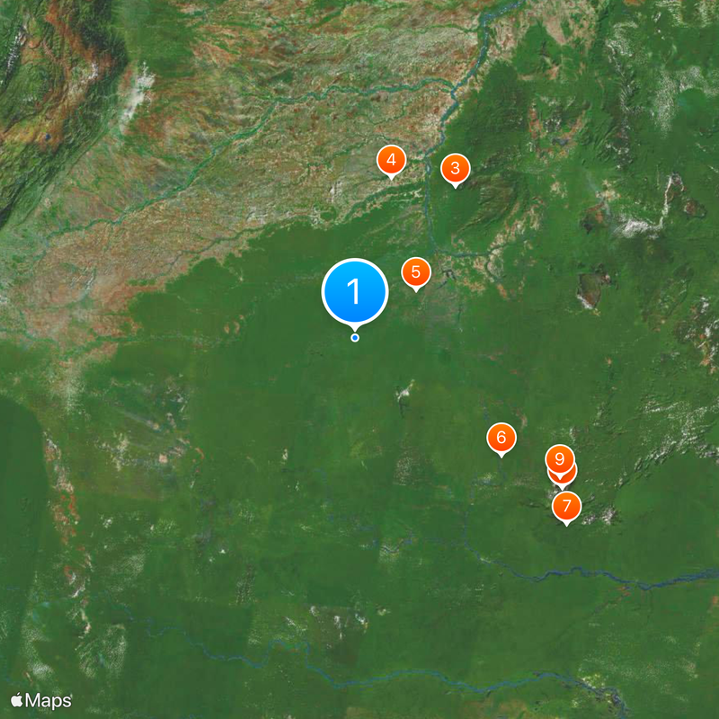
The department includes two municipalities, with Inírida as the capital serving as the main access point for travelers. Visitors planning a trip should keep in mind that most routes and connections rely on waterways or flights.

The territory sits at the meeting point of three countries and shares its borders with both Venezuela and Brazil. Several protected natural reserves lie within its boundaries and preserve large stretches of untouched rainforest.

The community of curious travelers

AroundUs brings together thousands of curated places, local tips, and hidden gems, enriched daily by 60,000 contributors worldwide.

Start exploring
Location
Inception
July 4, 1991
Capital city
Inírida
Elevation above the sea
177 m
Reference
GUA
Shares border with
Vichada Department, Guaviare Department, Vaupés Department, Amazonas
GPS coordinates
2.81667,-68.80000
Latest update
December 13, 2025 18:40
« Guainía Department - Administrative department in eastern Colombia » is provided by Around Us (aroundus.com). Images and texts are derived from Wikimedia project under a Creative Commons license. You are allowed to copy, distribute, and modify copies of this page, under the conditions set by the license, as long as this note is clearly visible.

Discover hidden gems everywhere you go!

From secret cafés to breathtaking viewpoints, skip the crowded tourist spots and find places that match your style. Our app makes it easy with voice search, smart filtering, route optimization, and insider tips from travelers worldwide. Download now for the complete mobile experience.

Around Us App Screenshot

A unique approach to discovering new places

Le Figaro

All the places worth exploring

France Info

A tailor-made excursion in just a few clicks

20 Minutes

Around Us
Travel Guide & Maps
Download

Send to your phone

QR Code
1

Open the camera app on your mobile.

2

Point at the QR code with your camera. A notification will appear.

3

Tap the notification to open the link.