
Theletra, community in Paphos District, Republic of Cyprus
Location: Paphos District
Elevation above the sea: 270 m
Shares border with: Pano Akourdaleia, Miliou, Giolou, Stroumbi, Kathikas, Pano Arodes
GPS coordinates: 34.91179,32.44748
Latest update: March 10, 2025 18:47

Papahānaumokuākea Marine National Monument
12824.7 km
French Frigate Shoals
13229.8 km
Nā Pali Coast State Park
13554.5 km
Waimea Canyon State Park
13567.9 km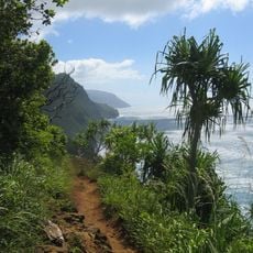
Kalalau Trail
13553.1 km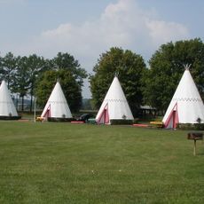
Wigwam Motel
11348 km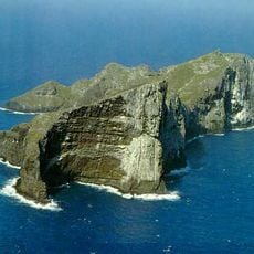
Nihoa
13407.9 km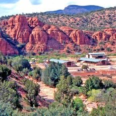
Oak Creek Canyon
11418.3 km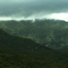
Mount Waialeale
13569.8 km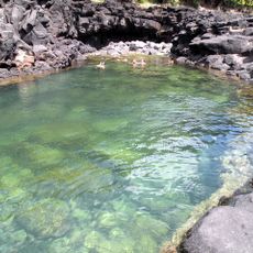
Queen's Bath
13552.7 km
Russian Fort Elizabeth
13579.3 km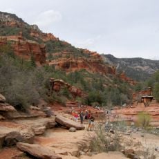
Slide Rock State Park
11418.2 km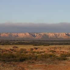
Caprock Escarpment
11046.2 km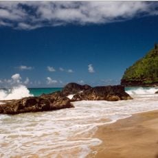
Hanakapiai Beach
13552.6 km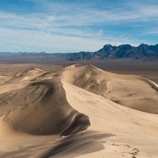
Kelso Dunes
11591.6 km
Necker Island
13279.6 km
Wailua Falls
13576.2 km
Tern Island
13201.6 km
Iraivan Temple
13573.1 km
WWVH
13573.3 km
Rogers Dry Lake
11671.7 km
Paris Mountain State Park
9729.2 km
Black Rock Mountain State Park
9800.4 km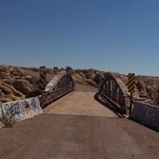
Chevelon Creek Bridge
11362.7 km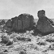
Hawikuh Ruins
11289.5 km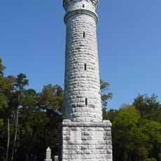
Wilder Brigade Monument
9924.9 km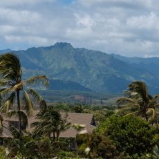
Kawaikini
13571.4 km
Polihale State Park
13562.1 kmReviews
Visited this place? Tap the stars to rate it and share your experience / photos with the community! Try now! You can cancel it anytime.
Discover hidden gems everywhere you go!
From secret cafés to breathtaking viewpoints, skip the crowded tourist spots and find places that match your style. Our app makes it easy with voice search, smart filtering, route optimization, and insider tips from travelers worldwide. Download now for the complete mobile experience.

A unique approach to discovering new places❞
— Le Figaro
All the places worth exploring❞
— France Info
A tailor-made excursion in just a few clicks❞
— 20 Minutes