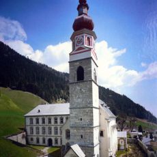
Gailtal Alps, Mountain range between Drau and Gail valleys, Austria
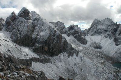
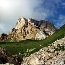
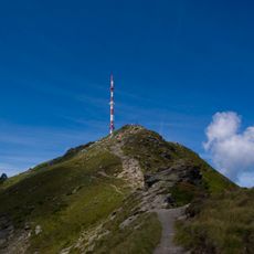
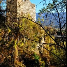
The Gailtal Alps comprise a limestone massif situated between the Drau and Gail river valleys in southern Austria. This sedimentary range forms a natural barrier across the landscape with its most prominent peak rising above 2,700 meters.
The range was formally classified within the Eastern Alps system during the 19th century as geologists worked to map the broader Alpine structure. This categorization helped establish the framework for understanding the geology of Austria's mountain regions.
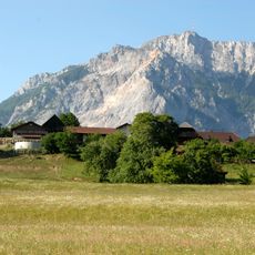
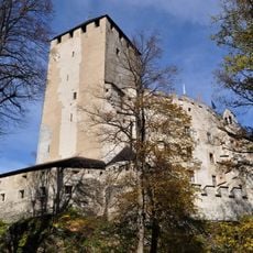
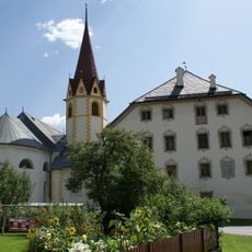
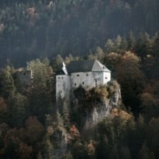
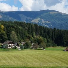
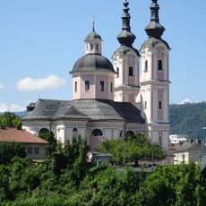
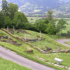
The name comes from the Gail river valley that runs through the region and shapes the landscape. Local communities have used the mountains for generations as living and working space, with traditional Alpine farming still visible here.
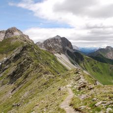
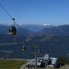
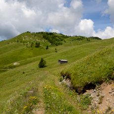
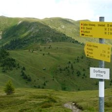
Mountain huts scattered throughout the range provide shelter and food for hikers undertaking routes through the terrain. These facilities function as essential stops for visitors planning multi-day expeditions in the area.
Between these mountains and the adjacent Goldeck massif lies the Weissensee, a high-altitude swimming lake positioned at approximately 930 meters elevation. Its position cradled between two mountain groups creates an unusual setting for water recreation in the region.
The community of curious travelers
AroundUs brings together thousands of curated places, local tips, and hidden gems, enriched daily by 60,000 contributors worldwide.