Oberwart District, Administrative district in Burgenland, Austria
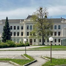
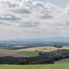
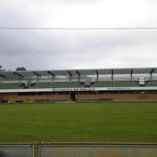
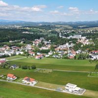
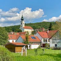
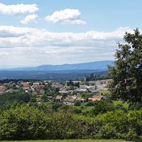
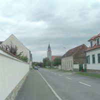
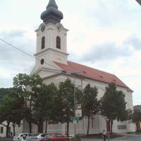
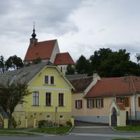
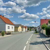
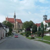
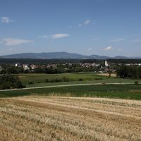
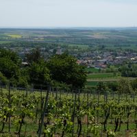
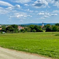
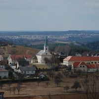
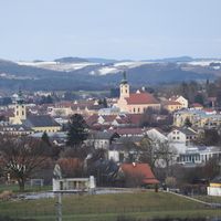
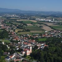
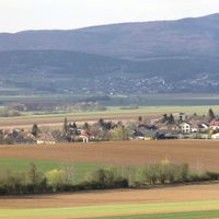
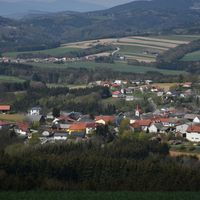
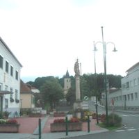
Oberwart District is an administrative region in Burgenland that spreads across a landscape of small towns, farmland, and protected natural areas. The territory includes towns of different sizes where you can see farms, fields, and villages nestled alongside reserves and open countryside.
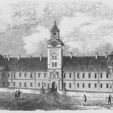
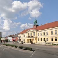
The district formed as an administrative unit during the Austro-Hungarian period when reforms reorganized the Burgenland region. This structure continues to shape how the area is organized and governed today.
People in the municipalities here organize local festivals and markets where regional crafts and farming traditions come into view. These gatherings show how residents keep their community identity through what they make, grow, and celebrate together.
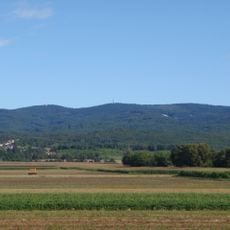
The territory spreads across flat to gently rolling terrain and is easy to navigate by car or public transport. Visitors should know that the municipalities are linked by bus lines and that walking through individual villages is straightforward.
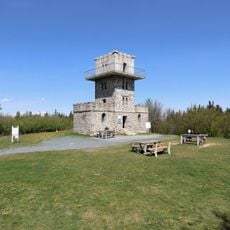
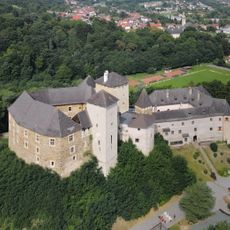
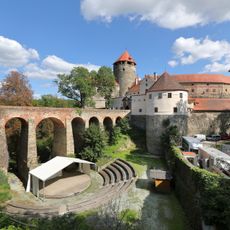
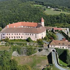
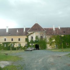
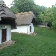
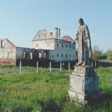
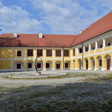
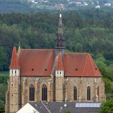
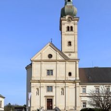
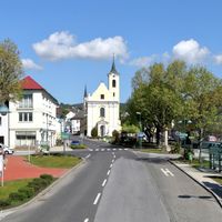
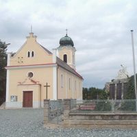
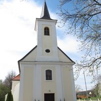
The area includes Bad Tatzmannsdorf, a spa town fed by thermal springs, and Stadtschlaining Castle, a medieval stronghold still standing today. These two places show how historical architecture and natural resources meet in the region.
The community of curious travelers
AroundUs brings together thousands of curated places, local tips, and hidden gems, enriched daily by 60,000 contributors worldwide.