Nakhchivan Autonomous Republic

Log in to your account

AroundUs is a community-driven map of interesting places, built by curious explorers like you. It grows with every review, story, and photo you share.
Connect to save your favorite spots, contribute locations, and create personalized routes.
Continue with Google
Continue with Apple
Continue with X
Continue with Facebook
Continue with email
By continuing, you accept our Terms and Conditions and our Privacy Policy
Create an account
Add to collection
Map
Suggest a change
Share

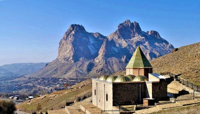
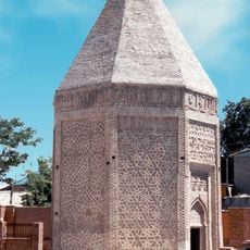
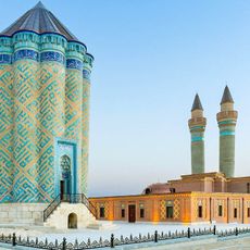
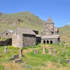
Nakhchivan Autonomous Republic, Autonomous republic in southern Transcaucasian plateau, Azerbaijan

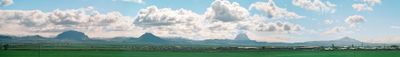
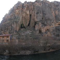
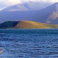
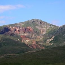
The Nakhchivan Autonomous Republic is an exclave of Azerbaijan between Armenia, Iran, and Turkey with mountainous landscape and deep river valleys. The highest peaks rise above 3,900 meters (12,800 feet), while fertile plains stretch along the Aras River in the south.

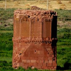
The territory changed hands between Persian, Ottoman, and Russian rule over centuries until it was annexed to the Russian Empire in 1828. In 1990 it declared its status as an autonomous republic during the dissolution of the Soviet Union.

The name Nakhchivan derives from an old legend claiming that Noah first stepped ashore here after the flood. Today residents use the terraced hillsides to grow mulberries and apricots, which they dry in the sun and sell at local markets.

Travelers can best explore the territory from the capital, which offers road connections east toward Azerbaijan and south across the border into Iran. The mountain regions require good preparation because of steep paths and changing weather conditions in the highlands.

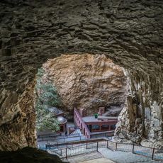
The Duzdag Salt Cave sits fourteen kilometers from the capital and is used for treating respiratory conditions. Visitors spend several hours in the underground chambers, where the salt-rich air is known for its healing properties.

Inception: November 17, 1990

Capital city: Nakhchivan

Elevation above the sea: 880 m

Shares border with: Turkey, Iran, Armenia, West Azarbaijan Province

Website: http://nakhchivan.az

GPS coordinates: 39.33333,45.50000

Latest update: December 15, 2025 01:58

Photos
Reviews

Visited this place? Tap the stars to rate it and share your experience / photos with the community! Try now! You can cancel it anytime.

« Nakhchivan Autonomous Republic - Autonomous republic in southern Transcaucasian plateau, Azerbaijan » is provided by Around Us (aroundus.com). Images and texts are derived from Wikimedia project under a Creative Commons license. You are allowed to copy, distribute, and modify copies of this page, under the conditions set by the license, as long as this note is clearly visible.

Discover hidden gems everywhere you go!

From secret cafés to breathtaking viewpoints, skip the crowded tourist spots and find places that match your style. Our app makes it easy with voice search, smart filtering, route optimization, and insider tips from travelers worldwide. Download now for the complete mobile experience.

Around Us App Screenshot

A unique approach to discovering new places

Le Figaro

All the places worth exploring

France Info

A tailor-made excursion in just a few clicks

20 Minutes