Sirajganj, human settlement in Bangladesh
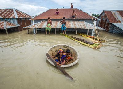
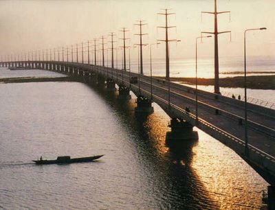
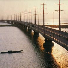
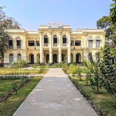
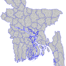
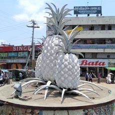
Sirajganj is a city in northwestern Bangladesh situated on the right bank of the Jamuna River and serves as the administrative center of the district of the same name. The city has wide streets with markets, shops, and a active waterfront shaped by its river location.
The city was founded in the early 1800s and gained municipality status in 1869. It was an important jute trading hub during British rule, until a major earthquake in 1897 shifted the river course and reduced its commercial importance.
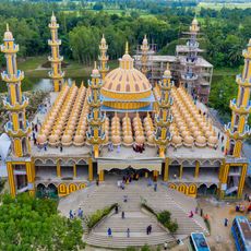
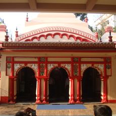
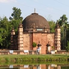
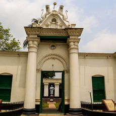
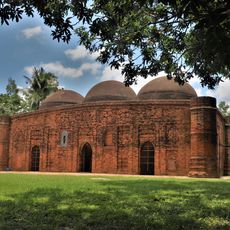
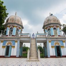
The name Sirajganj comes from the Mughal period and connects to local trading traditions. Today, mosques, temples, and markets shape the city, where people gather daily and share their routines.
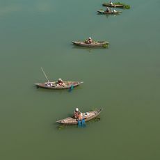
During the cooler months, the weather is more pleasant for walking through the city. Use buses, auto-rickshaws, or boats to move around, and take early mornings to watch the quieter life along the riverbank.
The city is known for making lungis and sarees through its loom industry, a craft tradition that lives in the daily routines of residents. This is a trade that shapes many people's lives and you can see it in the local market stalls.
The community of curious travelers
AroundUs brings together thousands of curated places, local tips, and hidden gems, enriched daily by 60,000 contributors worldwide.