Enable Location

We need your location to show you interesting places around you

Discover nearby places

Find interesting locations and hidden gems around you

Precise directions

Get accurate directions and distances to places

Your location is never shared with other users. It's only used when you tap the location button.

Dhaka District

Log in to your account

Start exploring — it's free

Trusted by 61,496 travelers worldwide

Continue with Google
Continue with Apple
or

We will send you a code to connect

By continuing, you accept our Terms and Conditions and our Privacy Policy

Check your inbox

We've sent a pincode in your inbox. Please enter the code below.

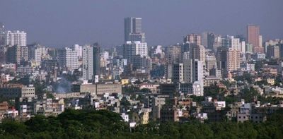
Dhaka District, Administrative district in central Bangladesh

Description

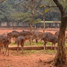
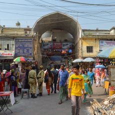
Dhaka District is an administrative area in central Bangladesh that includes densely populated urban zones and rural farmland. The Buriganga River runs through this territory, shaping both the landscape and the daily routines of those living along its banks.

History

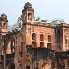
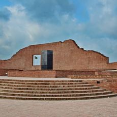
The British established this administrative unit in 1772, taking over areas that had been inhabited for centuries. Early settlements formed around the 7th century, when Savar served as the capital of a local kingdom.

Culture

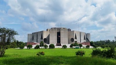
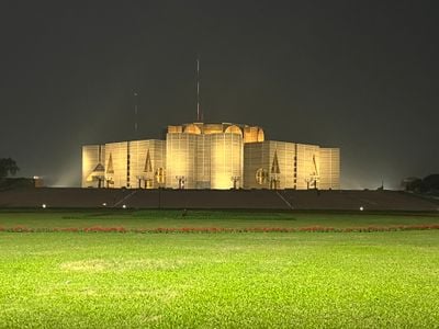
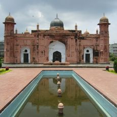
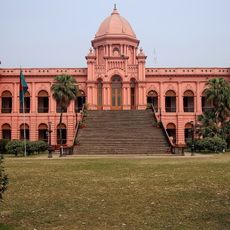
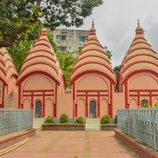
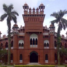
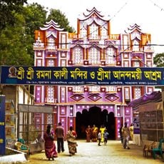
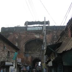
The district maintains numerous religious structures, including Hindu temples, Muslim mosques, and Buddhist monuments that reflect its multicultural heritage through centuries point.

Practical

The territory divides into five subdivisions: Dhamrai, Dohar, Keraniganj, Nawabganj, and Savar, each with its own character and local administrative offices. Public transport connects these areas, with boats along the river and buses on the main roads.

Did you know?

Artisans from the area produced muslin during the Mughal era, a fabric woven so finely that it could be pulled through a ring. This skill brought international fame to the region and attracted traders from distant lands.

Location
Capital city
Dhaka
Shares border with
Manikganj District, Tangail District, Gazipur District, Narayanganj District, Munshiganj District, Faridpur District
GPS coordinates
23.74870,90.39210
Latest update
December 13, 2025 19:17

AroundUs brings together thousands of curated places, local tips, and hidden gems, enriched daily by 60,000 contributors worldwide. Discover all places nearby (Dhaka Division).

« Dhaka District - Administrative district in central Bangladesh » is provided by Around Us (aroundus.com). Images and texts are derived from Wikimedia project under a Creative Commons license. You are allowed to copy, distribute, and modify copies of this page, under the conditions set by the license, as long as this note is clearly visible.

Discover hidden gems everywhere you go!

From secret cafés to breathtaking viewpoints, skip the crowded tourist spots and find places that match your style. Our app makes it easy with voice search, smart filtering, route optimization, and insider tips from travelers worldwide. Download now for the complete mobile experience.

Around Us App Screenshot

A unique approach to discovering new places

Le Figaro

All the places worth exploring

France Info

A tailor-made excursion in just a few clicks

20 Minutes

Around Us
Travel Guide & Maps
Download

Send to your phone

QR Code
1

Open the camera app on your mobile.

2

Point at the QR code with your camera. A notification will appear.

3

Tap the notification to open the link.