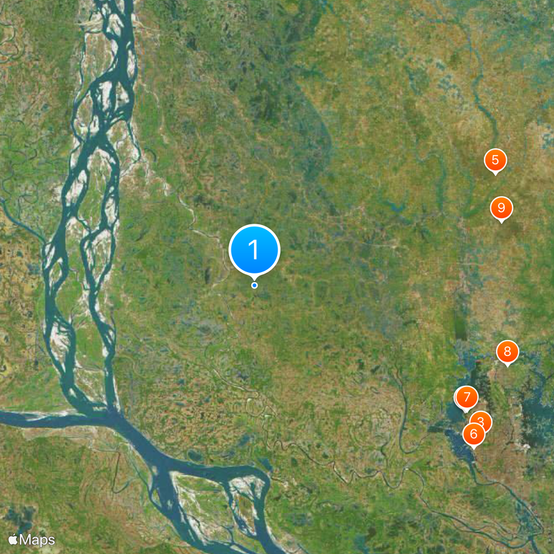
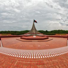
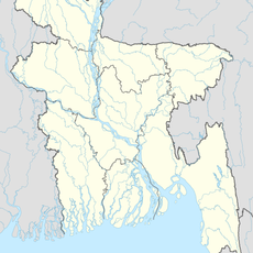
Geography of Bangladesh, Deltaic landscape in South Asia, Bangladesh.
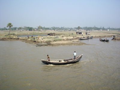
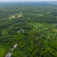
This territory is a wide alluvial plain shaped by three major rivers and makes up nearly four fifths of the land area. Countless waterways cut through the flat fields and form a dense network of channels and tributaries.
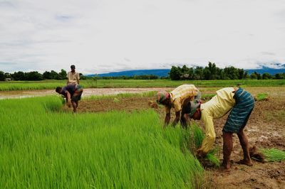
The three rivers have deposited fertile sediment for thousands of years and created the foundation for early settlements and farming. Over centuries trading routes and kingdoms developed along the banks, depending on the steady flow of water.
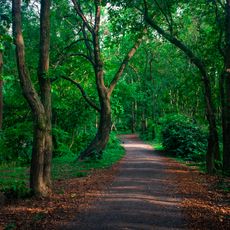
People here live in close relationship with water and adjust their houses, pathways and fields to the rhythm of the rivers. Bamboo bridges, floating markets and boats as transport define everyday life in many villages and towns.
Most of the land lies only a few meters above sea level, so the rivers rise noticeably during the monsoon season. Travelers should keep the seasons in mind and prepare for paths that may be under water at times.
In the southeast the forested hills of the Chittagong region rise to more than 1200 meters (4000 feet), an exception in a country that is otherwise almost everywhere flat. These hills offer a completely different climate and landscape than the plains in the rest of the country.
The community of curious travelers
AroundUs brings together thousands of curated places, local tips, and hidden gems, enriched daily by 60,000 contributors worldwide.