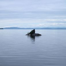
Lake Champlain, Freshwater lake in Montérégie, Canada and Vermont, United States.
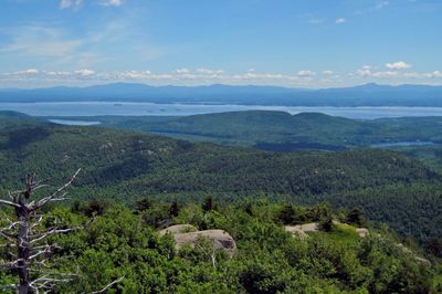
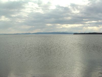
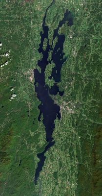
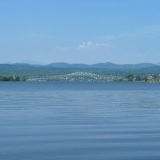
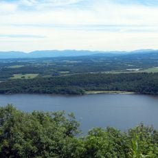
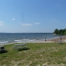
Lake Champlain stretches 193 kilometers (120 miles) along the border between Canada and the United States, reaching depths of up to 122 meters (400 feet) in certain areas. The body of water connects several regions and offers access to different shoreline sections in Quebec, Vermont and New York.
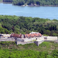
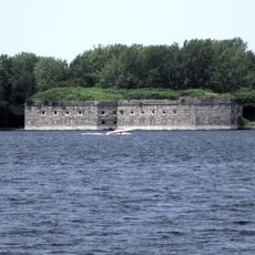
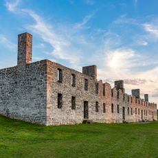
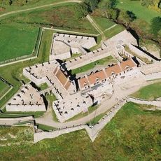
French explorer Samuel de Champlain reached the body of water in July 1609, opening the way for European settlement in the surrounding area. Later it became the site of several military clashes between British and American forces during the War of Independence and the War of 1812.
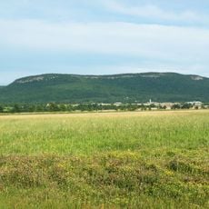
The Abenaki called this body of water Pitawbagw, meaning middle lake, which describes its position between the Adirondacks and the Green Mountains. The name recalls how the first inhabitants understood and moved through the landscape.
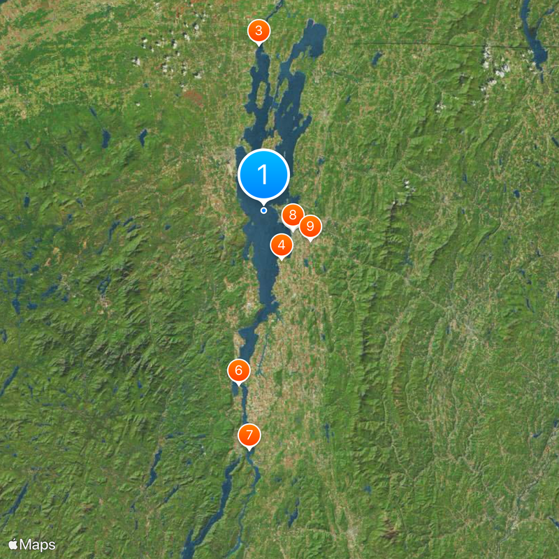
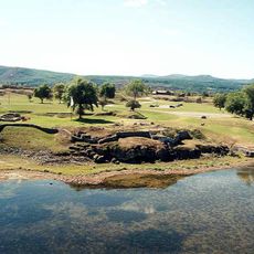
Several marinas and boat launches offer water access between May and September, with anglers needing permits from both Canadian and US authorities. Most shoreline areas are reachable via public roads, while some sections are bordered by private property.
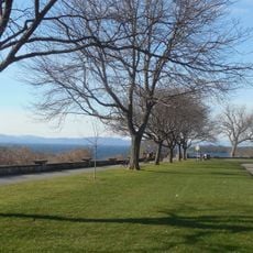
The body of water contains roughly 80 islands of different sizes, including Grand Isle, which forms an entire county in the state of Vermont. Several of these islands are inhabited and reachable from the mainland by ferry or bridge.
The community of curious travelers
AroundUs brings together thousands of curated places, local tips, and hidden gems, enriched daily by 60,000 contributors worldwide.