
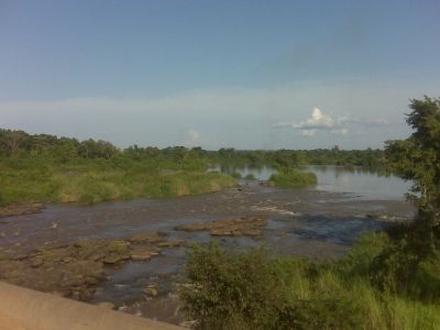
Haut-Uele, province of the Democratic Republic of the Congo
Capital city: Isiro
Website: http://provinceduhautuele.cd
GPS coordinates: 2.76667,27.61667
Latest update: March 4, 2025 00:34
Lira
590.6 km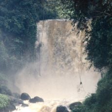
Virunga National Park
419.7 km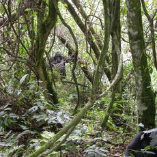
Bwindi Impenetrable National Park
484.9 km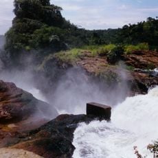
Murchison Falls
455.8 km
Garamba National Park
227.6 km
Rwenzori Mountains National Park
372.5 km
Okapi Wildlife Reserve
130.1 km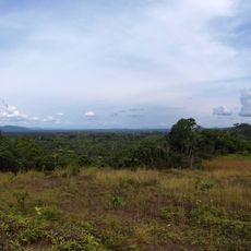
Maiko National Park
352.6 km
Ziwa Rhino Sanctuary
518 km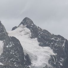
Margherita Peak
365 kmBandingilo National Park
596.5 kmSouthern National Park
427.6 km
Kitagata Hot Springs
476 km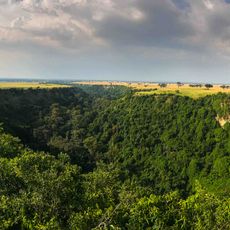
Kyambura Game Reserve
424.1 km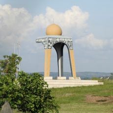
1520 AD Biharwe Eclipse Monument
505.1 kmShambe National Park
572.7 kmKatwe craters
407.6 km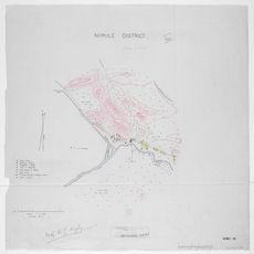
Nimule National Park
492.5 km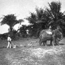
Api Elephant Domestication Center
268 km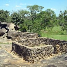
Baker's Fort
523.4 kmJuba Nile Bridge
499 km
Toro-Semliki Wildlife Reserve
360.6 kmKalinzu Central Forest Reserve
438.9 kmSt. Theresa Cathedral, Juba
498.4 km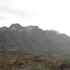
Mount Luigi di Savoia
370.1 km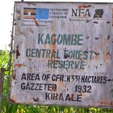
Kagombe Central Forest Reserve
401.4 km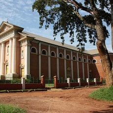
St. Joseph's Cathedral, Gulu
516.3 km
Ruwenzori
355 kmVisited this place? Tap the stars to rate it and share your experience / photos with the community! Try now! You can cancel it anytime.
Discover hidden gems everywhere you go!
From secret cafés to breathtaking viewpoints, skip the crowded tourist spots and find places that match your style. Our app makes it easy with voice search, smart filtering, route optimization, and insider tips from travelers worldwide. Download now for the complete mobile experience.

A unique approach to discovering new places❞
— Le Figaro
All the places worth exploring❞
— France Info
A tailor-made excursion in just a few clicks❞
— 20 Minutes