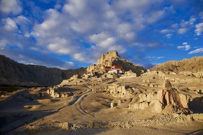
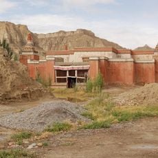
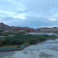
Zanda County, county
Location: Ngari Prefecture
Website: http://xzzd.gov.cn
GPS coordinates: 31.48417,79.68639
Latest update: March 24, 2025 01:35
Kedarnath Temple
102.3 km
Badrinath Temple
84.4 km
Valley of Flowers National Park
84.2 km
Meru Peak
92.6 km
Gangotri Glacier
87.8 km
Yamunotri
131.9 km
Triyuginarayan Temple
114.4 km
Madhyamaheshwar
104.4 km
Kamet
63.4 km
Yamunotri Temple
128.7 km
Kalpeshwar
106.5 km
Vasudhara Falls
80.6 km
Ukhimath
121.4 km
Shivling
89.7 km
Satopanth Glacier
87 km
Sapta Badri
86.1 km
Dunagiri
109.2 km
Nanda Devi and Valley of Flowers National Parks
85.5 km
Kedarnath Wildlife Sanctuary
82.1 km
Changabang
111.9 km
Thalay Sagar
95.7 km
Abi Gamin
62 km
Satopanth
83.7 km
Toling Monastery
10.6 km
Haathi Parvat
89.2 km
Sri Kailash
71 km
Hardeol
107.3 km
Tirsuli
105.3 kmReviews
Visited this place? Tap the stars to rate it and share your experience / photos with the community! Try now! You can cancel it anytime.
Discover hidden gems everywhere you go!
From secret cafés to breathtaking viewpoints, skip the crowded tourist spots and find places that match your style. Our app makes it easy with voice search, smart filtering, route optimization, and insider tips from travelers worldwide. Download now for the complete mobile experience.
A unique approach to discovering new places❞
— Le Figaro
All the places worth exploring❞
— France Info
A tailor-made excursion in just a few clicks❞
— 20 Minutes