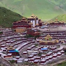
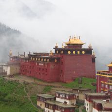
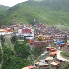
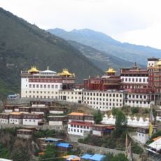
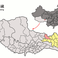
Chamdo, prefecture-level city in Tibet Autonomous Region of China
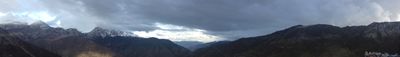
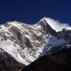
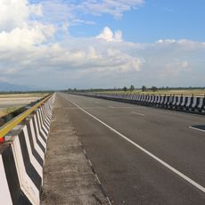
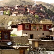
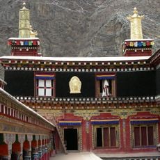
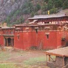
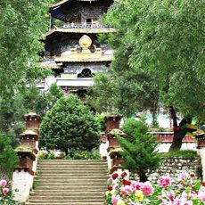
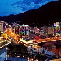
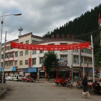
Chamdo is a large city in eastern Tibet situated above 3,200 meters in elevation, where old buildings and modern roads exist side by side. Markets overflow with fresh herbs, handmade crafts, and traditional clothes, while the air carries hints of spices and grass from the nearby plains.
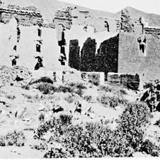
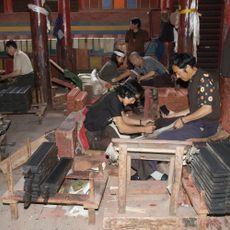
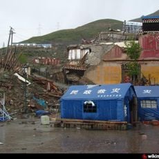
Chamdo served as an important location for over 1,300 years and played a central role on the ancient Tea-Horse Road, where traders transported tea, horses, and other goods. The city became part of China in 1950 following intense battles, a significant event that remains vivid in local history today.
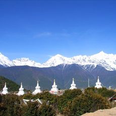
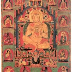
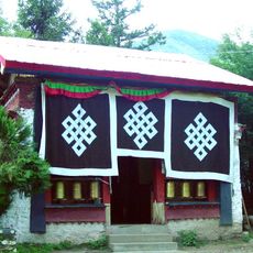
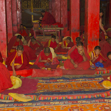
People here speak Khams Tibetan and wear traditional woven clothes with bright colors. In the streets, you see locals wearing prayer beads and participating in religious ceremonies, especially during festivals when masked dances and drum music fill the town.
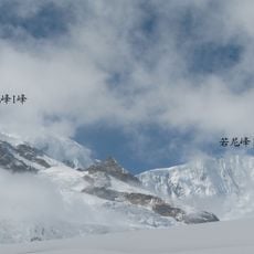
The location sits at high altitude, so visitors should bring warm clothing and allow time to adjust to the elevation. Local shops sell souvenirs like woven bags, jewelry, and statues, while small restaurants serve traditional dishes featuring barley, yak meat, and fresh vegetables.
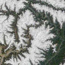
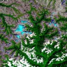
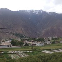
The name Chamdo means 'Confluence of Rivers' in Tibetan, as two rivers join here and later form the Lancang River. This geographic feature has shaped the city since its origins and makes it a natural crossroads for trade and travel.
The community of curious travelers
AroundUs brings together thousands of curated places, local tips, and hidden gems, enriched daily by 60,000 contributors worldwide.