Gasherbrum, Mountain range in Gilgit-Baltistan and Xinjiang, Pakistan and China
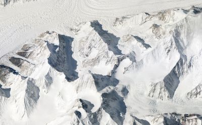
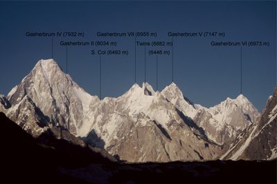
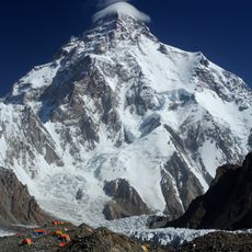
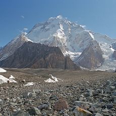
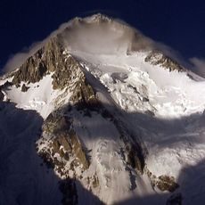
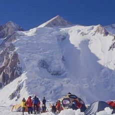
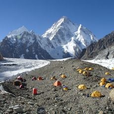
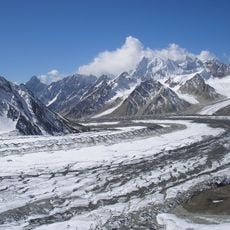
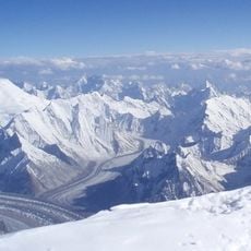
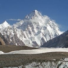
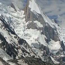
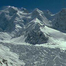
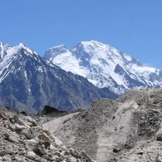
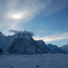
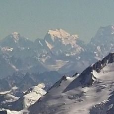
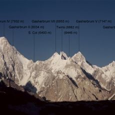
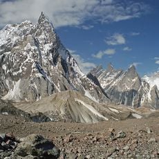
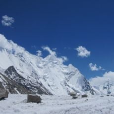
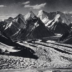
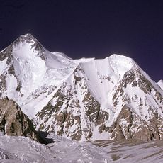
Gasherbrum is a mountain range straddling the border between Gilgit-Baltistan and Xinjiang, rising to multiple peaks that tower above the surrounding terrain. The range contains several summits that exceed 8,000 meters in elevation, with the highest reaching 8,068 meters.
These peaks were first systematically mapped by British surveyors in 1856 and labeled with letter codes during a major geographic survey. That early documentation marked the beginning of Western knowledge about this remote mountain region.
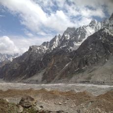
The Balti people have farmed and traded in the valleys around this mountain range for generations, and their ways of working the land still shape how the region looks today. You can see their influence in the terraced fields and the paths that connect remote settlements.
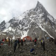
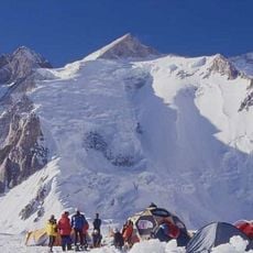
Access requires permits from both neighboring countries due to the location along an international border. Plan for extreme altitude, rapidly changing weather, and limited facilities for supplies or support.
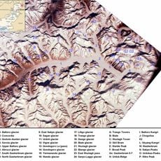
This range acts as a major water divide for southern Asia, with rainfall flowing north toward the Tarim Basin on one side and south toward the Arabian Sea on the other. This split in water flow creates distinct environments on either slope.
The community of curious travelers
AroundUs brings together thousands of curated places, local tips, and hidden gems, enriched daily by 60,000 contributors worldwide.