
Chengbei Subdistrict, subdistrict in Tibet, China
Location: Samzhubzê District
Elevation above the sea: 3,841 m
GPS coordinates: 29.27881,88.88319
Latest update: May 8, 2025 11:44
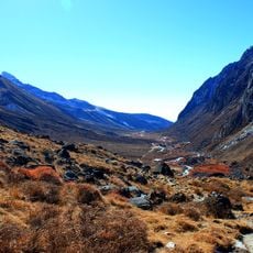
Khangchendzonga National Park
189.1 km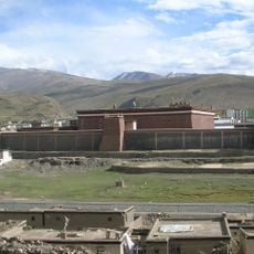
Sakya Monastery
93.9 km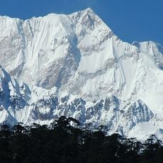
Zemu Glacier
180.6 km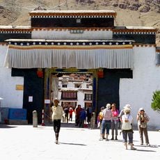
Tashilhunpo Monastery
1.8 km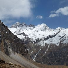
Jigme Dorji National Park
173.5 km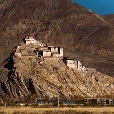
Gyantse Dzong
101.6 km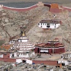
Palcho Monastery
79.7 km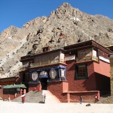
Tsurphu Monastery
171.4 km
Menri Monastery
66.2 km
Ralung Monastery
128.3 km
Shalu Monastery
19.9 km
Kirat Chuli
178.6 km
Narthang Monastery
15.1 km
Chushul Chakzam
175.1 km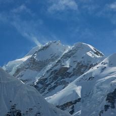
Gimmigela Chuli
185.3 km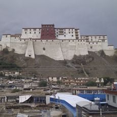
Shigatse Dzong
766 m
Gasa Dzong
173.9 km
Kangphu Kang I
171 km
Lachung Monastery
186.4 km
Yangpachen Monastery
168 km
Drongtse Monastery
62.3 km
Gonggar Dzong
185.1 km
Lingzhi Yügyal Dzong
167.2 km
Jonang Monastery
86.2 km
Nenang Nunnery
182.9 km
Gurdwara Nanaklama
187.8 km
Shelkar Chode
184.8 km
Phari Dzong
172.4 kmReviews
Visited this place? Tap the stars to rate it and share your experience / photos with the community! Try now! You can cancel it anytime.
Discover hidden gems everywhere you go!
From secret cafés to breathtaking viewpoints, skip the crowded tourist spots and find places that match your style. Our app makes it easy with voice search, smart filtering, route optimization, and insider tips from travelers worldwide. Download now for the complete mobile experience.

A unique approach to discovering new places❞
— Le Figaro
All the places worth exploring❞
— France Info
A tailor-made excursion in just a few clicks❞
— 20 Minutes