Tai Lam Country Park, Country park in New Territories, Hong Kong.
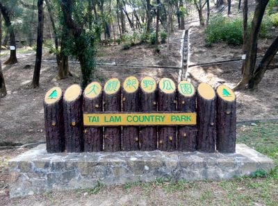
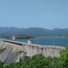
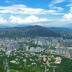
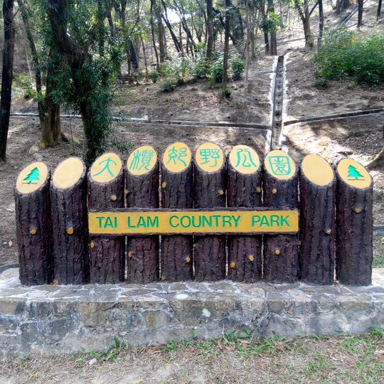
Tai Lam Country Park is a 5,412-hectare protected area in the western New Territories, mostly in Yuen Long District. Its granite bedrock is deeply weathered, and the landscape includes the Tai Lam Chung Reservoir, enclosed entirely by the park, plus trails such as the MacLehose Trail and Kap Lung Forest Trail. The park entrance is marked by a sign of ten upright wooden logs with a yellow board reading "TAI LAM COUNTRY PARK".
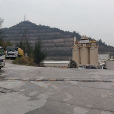
Tai Lam Country Park was designated on 23 February 1979, covering 5,412 hectares and making it Hong Kong's second-largest country park. In the 1950s, the government built the Tai Lam Chung Reservoir and planted trees on the surrounding hills to curb severe soil erosion; some eroded badlands, such as San Sin Che and Pak Fu Fong Hill, are still visible. Black tungsten was mined at Lin Fa Shan and Sheung Tong between 1950 and 1957, and some abandoned pits remain under the trees.
The park's name comes from Tai Lam, meaning "large", as opposed to nearby Siu Lam, "small". Two villages lie within the park, Tin Fu Tsai and Tsing Kwai Tong, and the Tai Lam Chung stream, dammed to form the reservoir, shares the name. The Tai Lam Centre for Women and Tai Lam Correctional Institution, outside the boundary, also carry it.
The park is accessible on foot from surrounding towns, with entry points scattered around the perimeter. Wear comfortable shoes and bring water, as some trails are steep and offer limited shade in exposed areas.
The Tai Lam Tunnel and the Tai Lam railway tunnel both run underground beneath the park, so traffic between Yuen Long and Tuen Mun passes below the trails without crossing the surface. The reservoir inside the park boundary is managed by the Water Supplies Department.
The community of curious travelers
AroundUs brings together thousands of curated places, local tips, and hidden gems, enriched daily by 94,076 contributors worldwide.