东关街道, Straßenviertel in der Volksrepublik China
Location: Chanhe Hui District
GPS coordinates: 34.68666,112.48546
Latest update: March 5, 2025 01:04
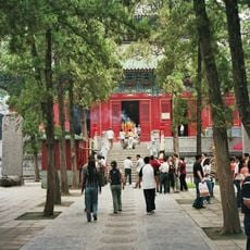
Shaolin Monastery
45.8 km
Longmen Grottoes
14.7 km
White Horse Temple
11.2 km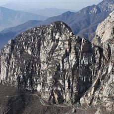
Mount Song
47.6 km
Erlitou
18.7 km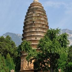
Songyue Pagoda
52.8 km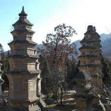
Pagoda Forest at Shaolin Temple
46.2 km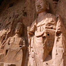
Gongxian Grottoes
51.2 km
Guanlin
8.7 km
Song Tombs
43.7 km
Kang Baiwan's Mansions
43.1 km
Shouyangshan
20.3 km
Fawang Temple
53.1 km
Zhongyue temple
59.1 km
Luoyang Museum
4.6 km
Dingding Gate
6.4 km
Jidu Temple
47.8 km
Tianzijialiu Museum
4.6 km
Luoyang Ancient Tombs Museum
8.8 km
Wangcheng of Eastern Zhou Dynasty
4.6 km
Huishan Temple
51.7 km
Longtan Grand Canyon
54.1 km
Fengxian Guan
46.7 km
Tomb of Bai Juyi
14.4 km
Pagoda of Yongtai Temple
48.5 km
Zen Master Jingzang Stupa
51.4 km
Luoyang Luze Guild Hall
685 m
Daming Temple
40.3 kmReviews
Visited this place? Tap the stars to rate it and share your experience / photos with the community! Try now! You can cancel it anytime.
Discover hidden gems everywhere you go!
From secret cafés to breathtaking viewpoints, skip the crowded tourist spots and find places that match your style. Our app makes it easy with voice search, smart filtering, route optimization, and insider tips from travelers worldwide. Download now for the complete mobile experience.

A unique approach to discovering new places❞
— Le Figaro
All the places worth exploring❞
— France Info
A tailor-made excursion in just a few clicks❞
— 20 Minutes