Wari, Gemeinde in China
Location: Dawu County, Sichuan
GPS coordinates: 30.88029,101.12630
Latest update: March 25, 2025 11:53
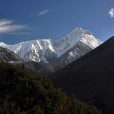
Mount Gongga
160.3 km
Sichuan Giant Panda Sanctuaries
179.1 km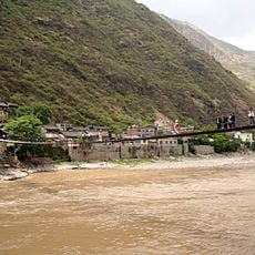
Luding Bridge
151 km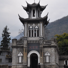
St. Anne's Church, Moxi
167.7 km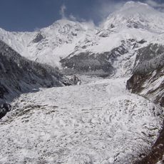
Hailuogou Glacier
167.9 km
Bifengxia Panda Base
199 km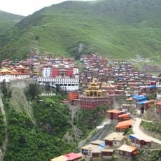
Katok Monastery
213.7 km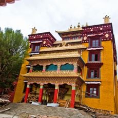
Litang Monastery
127.1 km
Dhe-Tsang Monastery
174.6 km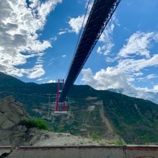
Luding Yaye Expressway Bridge
145.9 km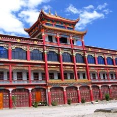
Kandze Monastery
137.2 km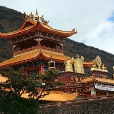
Nanwu Si Monastery
122.6 km
Bifeng Gorge Scenic Area
200.4 km
Zhonglu (baranggay sa Republikang Popular sa Tsina, Sichuan Sheng)
76.9 km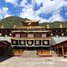
Beri Gonpa
146.1 km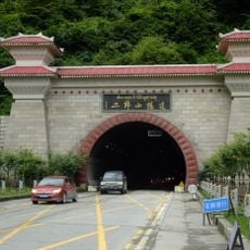
Mount Erlang
157.2 km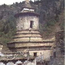
Bangtuo temple
182.6 km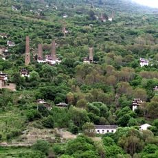
Türme Rongzhag
77.2 km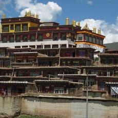
Dargye Monastery
158.3 km
Dodrubchen Monastery
194.1 km
Nyitso Monastery
11.6 km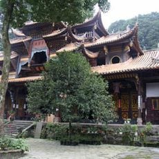
太湖寺
208.4 km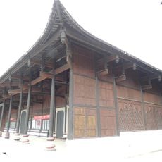
Annunciation Church, Dengchigou
178.1 km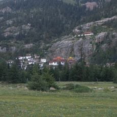
Pangphuk Gön
209.4 km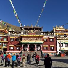
Tagong Temple
73 km
Gonggar Mountain
160.2 km
Mugecuo
107 km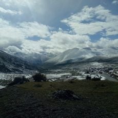
Kangding Love Song Scenic Spot
105.5 kmVisited this place? Tap the stars to rate it and share your experience / photos with the community! Try now! You can cancel it anytime.
Discover hidden gems everywhere you go!
From secret cafés to breathtaking viewpoints, skip the crowded tourist spots and find places that match your style. Our app makes it easy with voice search, smart filtering, route optimization, and insider tips from travelers worldwide. Download now for the complete mobile experience.

A unique approach to discovering new places❞
— Le Figaro
All the places worth exploring❞
— France Info
A tailor-made excursion in just a few clicks❞
— 20 Minutes