高日罕镇
Location: West Ujimqin Banner
GPS coordinates: 45.12475,118.24454
Latest update: April 5, 2025 17:24
Chengde Mountain Resort and its outlying temples
461.2 km
Yixian Formation
467.5 km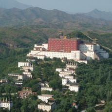
Putuo Zongcheng Temple
458.5 km
Tiaojishan Formation
432.8 km
Liao Shangjing site
158.2 km
Saihanba National Forest Park
359.4 km
Hulun Lake
432.8 km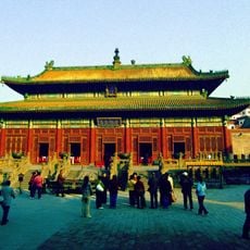
Puning Temple
458.2 km
Fengguo Temple
466.7 km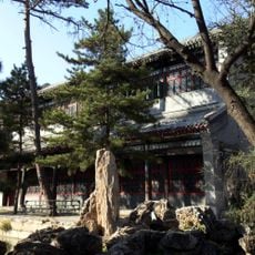
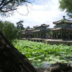
Chengde Mountain Resort
461.2 km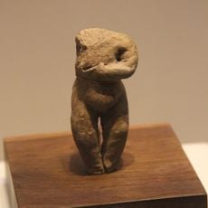
Niuheliang
440.1 km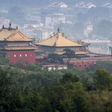
Xumi Fushou Temple
458.9 km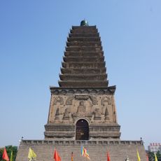
Northern Chaoyang Pagoda
433.4 km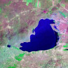
Dalai Nur
240.5 km
Hexigten Global Geopark
216.5 km
Wenjin Ge
460.5 km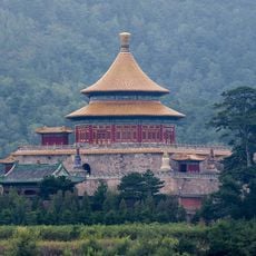
Pule Temple
460.2 km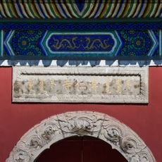
Puren Temple
460.8 km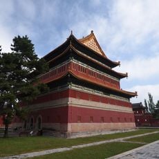
Anyuan Temple
459.5 km
Ka La Qin Palace
366.4 km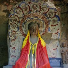
Wanfotang Grottoes
460.1 km
Ang'angxi sites
482.9 km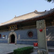
佑順寺
433.8 km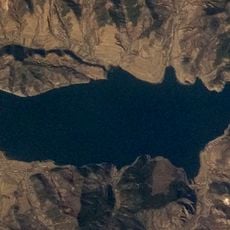
打虎石水库
416.9 km
Dariganga Volcanic Field
317.5 km
Miaogong reservoir
380.1 km
Youlin reservoir
461.4 km
Réserve naturelle du lac Dalai
385.5 kmReviews
Visited this place? Tap the stars to rate it and share your experience / photos with the community! Try now! You can cancel it anytime.
Discover hidden gems everywhere you go!
From secret cafés to breathtaking viewpoints, skip the crowded tourist spots and find places that match your style. Our app makes it easy with voice search, smart filtering, route optimization, and insider tips from travelers worldwide. Download now for the complete mobile experience.

A unique approach to discovering new places❞
— Le Figaro
All the places worth exploring❞
— France Info
A tailor-made excursion in just a few clicks❞
— 20 Minutes