Enable Location

We need your location to show you interesting places around you

Discover nearby places

Find interesting locations and hidden gems around you

Precise directions

Get accurate directions and distances to places

Your location is never shared with other users. It's only used when you tap the location button.

Lake Starnberg

Log in to your account

Start exploring — it's free

Trusted by 68,739 travelers worldwide

Continue with Google
Continue with Apple
or

We will send you a code to connect

By continuing, you accept our Terms and Conditions and our Privacy Policy

Check your inbox

We've sent a pincode in your inbox. Please enter the code below.

Lake Starnberg
Discussion Reviews 2 Photos
141k Popularity

Lake Starnberg, Ramsar wetland site in Bavaria, Germany.

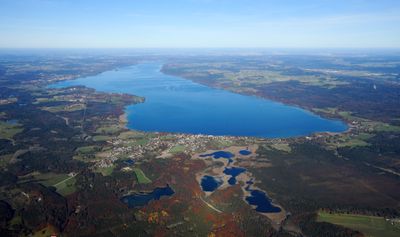
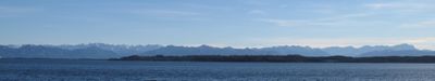
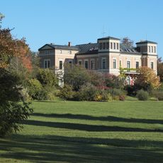
Lake Starnberg is a body of water in the Bavarian Alpine foothills that stretches roughly 25 kilometers southwest of Munich and ranks among the largest in the region. Its longest extension runs about 20 kilometers from north to south, while the maximum depth in the central areas exceeds 120 meters.

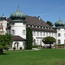
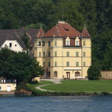
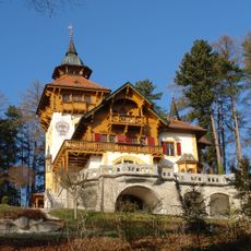
This body of water formed after the last ice age through the retreat of glaciers that left deep basins in the Alpine foothills. In 1886 King Ludwig II drowned under unclear circumstances near the shore at Berg, an event that continues to fuel speculation and legend to this day.

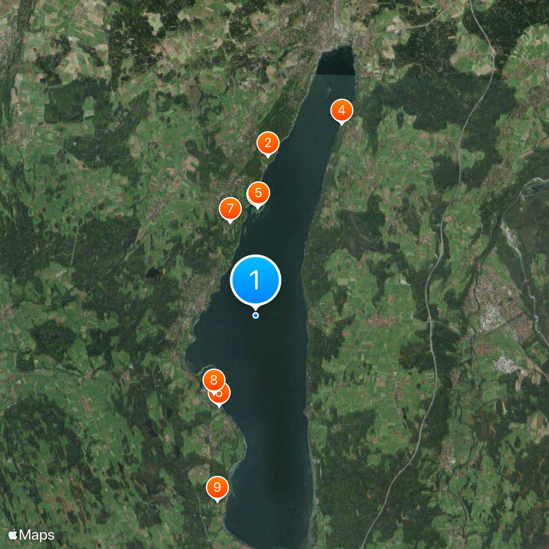
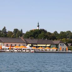
Locals still call this body of water Würmsee, an old name that refers to the outflowing river and remains in everyday use throughout the region. Along the shores you will find several landing stages used by residents and visitors alike, especially on warm days when sailing dinghies and rowing boats glide across the water.

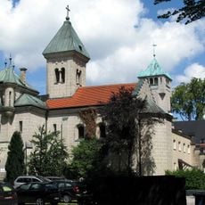
Several towns along the shores offer access to the water and landing stages for boats that run regularly between the different places. The best time to visit is from spring through autumn when the weather is mild and the nature along the shore is in full bloom.

The Steinbach flows into the body of water from the south bringing clear mountain water, while the Würm serves as the only natural outflow in the north channeling excess water toward the Amper. This hydrological arrangement ensures a steady exchange and maintains water quality over the decades.

The community of curious travelers

AroundUs brings together thousands of curated places, local tips, and hidden gems, enriched daily by 60,000 contributors worldwide.

Start exploring
Location
Creator
Isar-Loisach Glacier
Elevation above the sea
584 m
GPS coordinates
47.90389,11.30722
Latest update
December 17, 2025 17:25
Reviews
Share your experience

No review yet

Discussions
Start a discussion...

No discussion yet

« Lake Starnberg - Ramsar wetland site in Bavaria, Germany » is provided by Around Us (aroundus.com). Images and texts are derived from Wikimedia project under a Creative Commons license. You are allowed to copy, distribute, and modify copies of this page, under the conditions set by the license, as long as this note is clearly visible.

Discover hidden gems everywhere you go!

From secret cafés to breathtaking viewpoints, skip the crowded tourist spots and find places that match your style. Our app makes it easy with voice search, smart filtering, route optimization, and insider tips from travelers worldwide. Download now for the complete mobile experience.

Around Us App Screenshot

A unique approach to discovering new places

Le Figaro

All the places worth exploring

France Info

A tailor-made excursion in just a few clicks

20 Minutes

Around Us
Travel Guide & Maps
Download

Send to your phone

QR Code
1

Open the camera app on your mobile.

2

Point at the QR code with your camera. A notification will appear.

3

Tap the notification to open the link.