Enable Location

We need your location to show you interesting places around you

Discover nearby places

Find interesting locations and hidden gems around you

Precise directions

Get accurate directions and distances to places

Your location is never shared with other users. It's only used when you tap the location button.

Log in to your account

Start exploring — it's free

Trusted by 62,281 travelers worldwide

Continue with Google
Continue with Apple
or

We will send you a code to connect

By continuing, you accept our Terms and Conditions and our Privacy Policy

Check your inbox

We've sent a pincode in your inbox. Please enter the code below.

Kaiserslautern, Administrative district in Rhineland-Palatinate, Germany

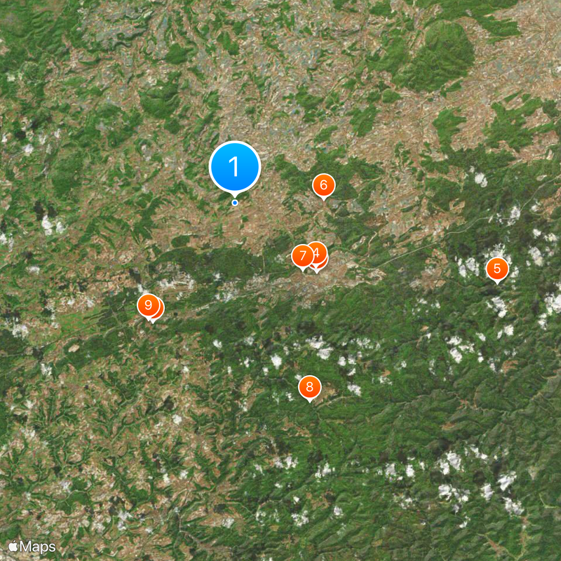
Kaiserslautern district is an administrative area in Rhineland-Palatinate located in southwestern Germany between the Palatinate Forest and North Palatine Hills. The region consists of several smaller towns and municipalities scattered across forested and gently rolling terrain.

The district was established in 1939 and gained its current boundaries through territorial reforms in 1969 and 1972. These administrative changes continue to define the region's shape and structure today.

The district maintains international partnerships with Lancaster County in Pennsylvania, Musasa in Rwanda, and the Polish district of Olesno since 1962.

The area surrounds but remains separate from the city of Kaiserslautern and includes towns like Landstuhl, Ramstein-Miesenbach, and Weilerbach. Visitors who explore the district should allow time to reach its smaller communities spread across the landscape.

The coat of arms displays an eagle for imperial estates, a lion from the Palatinate crest, and a fish from Kaiserslautern's symbol. These three symbols tell the story of royal heritage and local roots woven together in one shield.

The community of curious travelers

AroundUs brings together thousands of curated places, local tips, and hidden gems, enriched daily by 60,000 contributors worldwide.

Start exploring
Capital city
Kaiserslautern
Elevation above the sea
267 m
Shares border with
Kaiserslautern, Kusel, Donnersbergkreis, Bad Dürkheim, Südwestpfalz, Saarpfalz-Kreis
GPS coordinates
49.50000,7.67000
Latest update
December 20, 2025 12:58
« Kaiserslautern - Administrative district in Rhineland-Palatinate, Germany » is provided by Around Us (aroundus.com). Images and texts are derived from Wikimedia project under a Creative Commons license. You are allowed to copy, distribute, and modify copies of this page, under the conditions set by the license, as long as this note is clearly visible.

Discover hidden gems everywhere you go!

From secret cafés to breathtaking viewpoints, skip the crowded tourist spots and find places that match your style. Our app makes it easy with voice search, smart filtering, route optimization, and insider tips from travelers worldwide. Download now for the complete mobile experience.

Around Us App Screenshot

A unique approach to discovering new places

Le Figaro

All the places worth exploring

France Info

A tailor-made excursion in just a few clicks

20 Minutes

Around Us
Travel Guide & Maps
Download

Send to your phone

QR Code
1

Open the camera app on your mobile.

2

Point at the QR code with your camera. A notification will appear.

3

Tap the notification to open the link.